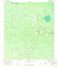
1969 Map of Taylor
USGS Topo · Published 1971About this map
The Osceola National Forest dominates this landscape, where the northern Florida pines give way to an intricate network of wetlands and river headwaters. The settlement of Taylor and the nearby Pine Grove area serve as the primary human focal points, situated just north of where the Middle Prong St Marys River winds through the forest. The map reveals a land defined by water management and transit, with numerous firebreaks and specialized routes like Eddy Road and Taylor School Road cutting through the timberland.
Find a feature on this map
36 named features on this map. Tap any name to fly to it.
Don’t see what you’re looking for? This feature index may not catch every label — zoom into the map to look around manually.
Map Details
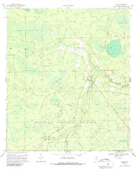
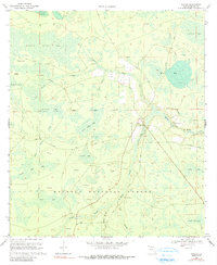
Editions of this 1969 Taylor Map
3 editions found
Other maps of this area

1917 · Macclenny
USGS Topo · 1:62,500

1918 · Moniac
USGS Topo · 1:62,500

1918 · Macclenny
USGS Topo · 1:62,500

1942 · Moniac
USGS Topo · 1:62,500

1954 · Valdosta
USGS Topo · 1:250,000

1956 · Eddy
USGS Topo · 1:24,000

1956 · Sargent
USGS Topo · 1:24,000

1958 · Valdosta
USGS Topo · 1:250,000

1959 · Valdosta
USGS Topo · 1:250,000
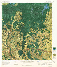
1967 · Moniac
USGS Topo · 1:24,000