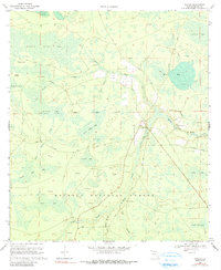
1969 Map of Taylor
USGS Topo · Published 1990About this map
The Osceola National Forest dominates this northern Florida landscape, where the headwaters of the Middle Prong St Marys River snake through a vast network of wetlands and namesake islands. The small settlement of Taylor serves as the focal point of human activity, situated near the intersection of several local routes like Taylor Road and Raulerson Road. This area is characterized by its complex hydrology, featuring numerous named "bays" or depressions such as Cattail Bay and Ellis Bay, and distinct landforms like Huckleberry Island and Lice Island that rise within the saturated terrain of Pinhook Swamp. Genealogists and local historians can find specific community anchors preserved here, including the Taylor School and the Pipe Grove Ch. A network of firebreaks and the presence of a Lookout Tower reflect the active management of the forest and its timber resources during the late 1960s.
Find a feature on this map
35 named features on this map. Tap any name to fly to it.
Don’t see what you’re looking for? This feature index may not catch every label — zoom into the map to look around manually.
Map Details
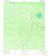
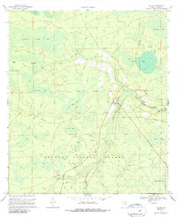
Editions of this 1969 Taylor Map
3 editions found
Other maps of this area

1917 · Macclenny
USGS Topo · 1:62,500

1918 · Moniac
USGS Topo · 1:62,500

1918 · Macclenny
USGS Topo · 1:62,500

1942 · Moniac
USGS Topo · 1:62,500

1954 · Valdosta
USGS Topo · 1:250,000

1956 · Eddy
USGS Topo · 1:24,000

1956 · Sargent
USGS Topo · 1:24,000

1958 · Valdosta
USGS Topo · 1:250,000

1959 · Valdosta
USGS Topo · 1:250,000
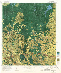
1967 · Moniac
USGS Topo · 1:24,000