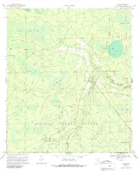
1969 Map of Taylor
USGS Topo · Published 1987About this map
Osceola National Forest dominates this northern Florida landscape, characterized by an intricate network of wetlands, bays, and seasonal drainages. The rural settlement of Taylor serves as a local hub near the Middle Prong St Marys River, where family-named routes like Raulerson Road and Taylor School Road connect isolated homes and farmsteads. The geography is defined by a series of "bays"—low-lying, timbered wetlands such as Cattail Bay, Betts Eddy Bay, and Surveyors Bay—separated by higher ground and firebreaks. These features suggest a landscape managed for both timber and conservation, where the hydrology of the Pinhook Swamp and Little River dictates the pattern of human movement. Social life in the late 1960s centered on local congregations at Pine Grove Ch and Pleasant Grove Ch, providing a clear record of established community centers for family historians and genealogists.
Find a feature on this map
36 named features on this map. Tap any name to fly to it.
Don’t see what you’re looking for? This feature index may not catch every label — zoom into the map to look around manually.
Map Details
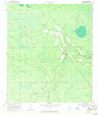
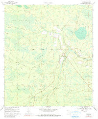
Editions of this 1969 Taylor Map
3 editions found
Other maps of this area

1917 · Macclenny
USGS Topo · 1:62,500

1918 · Moniac
USGS Topo · 1:62,500

1918 · Macclenny
USGS Topo · 1:62,500

1942 · Moniac
USGS Topo · 1:62,500

1954 · Valdosta
USGS Topo · 1:250,000

1956 · Eddy
USGS Topo · 1:24,000

1956 · Sargent
USGS Topo · 1:24,000

1958 · Valdosta
USGS Topo · 1:250,000

1959 · Valdosta
USGS Topo · 1:250,000
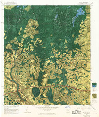
1967 · Moniac
USGS Topo · 1:24,000