2000s (21st Century) Maps of Panama City Beach, Florida
Explore 23 historic maps of Panama City Beach from the 2000s (21st Century). These maps offer a rare glimpse into what life looked like during the 2000s — showing old roads, neighborhoods, homes, and landmarks that have changed or disappeared over time.
Whether you're researching your family's past, planning a metal detecting trip, or studying how Panama City Beach's landscape evolved across the 2000s, these high-resolution maps are a powerful tool for exploring the history of this region.
- Focus on a specific era: All maps on this page are from the 2000s, giving you a focused view of this time period.
- See what’s changed: Compare century-old streets, trails, and buildings to today's modern landscape using overlays and satellite layers.
- Research with precision: Use these maps for genealogy, historical research, land use analysis, or educational projects.
- View, download, or print: Maps are fully viewable online in high resolution, and can be downloaded or printed for your own records.
Start exploring Panama City Beach's history through authentic maps from the 2000s. This is your window into the past.
Panama City Beach, FL maps
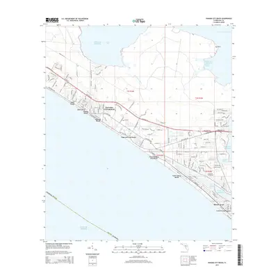
(23)- 2012 Map of West Bay, 2012 Print
 2012 West Bay2012 Print · USGSCovers Panama City Beach, including West Bay, Bay County, and other nearby areas
 - 2012 Map of Laguna Beach, 2012 Print
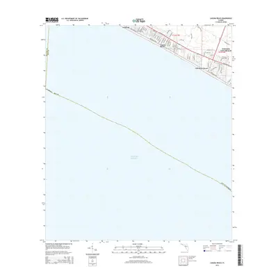
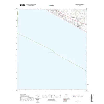
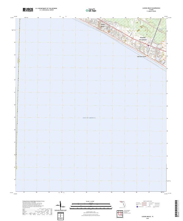
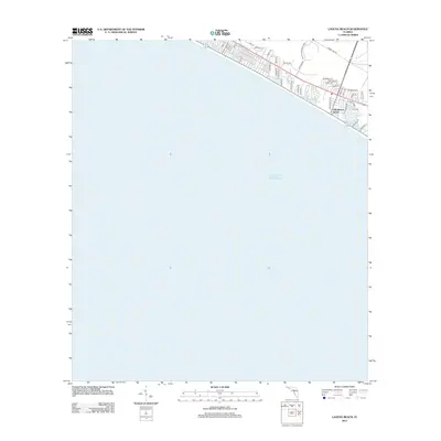 2012 Laguna Beach2012 Print · USGSCovers Panama City Beach, including Laguna Beach, Gulf Resort Beach, and other nearby areas
 - 2012 Map of Seminole Hills, 2012 Print
 2012 Seminole Hills2012 Print · USGSCovers Panama City Beach, including Laird, Hollywood Beach, and other nearby areas
 - 2012 Map of Panama City Beach, 2012 Print
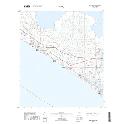
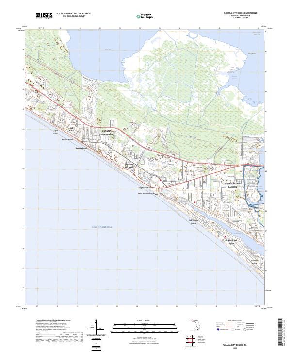
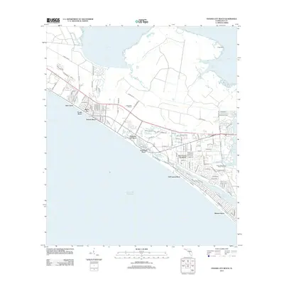 2012 Panama City Beach2012 Print · USGSCovers Panama City Beach, including Biltmore Beach, Lower Grand Lagoon, and other nearby areas
 - 2015 Map of Panama City Beach, 2015 Print
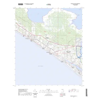
 2015 Panama City Beach2015 Print · USGSCovers Panama City Beach, including Biltmore Beach, Lower Grand Lagoon, and other nearby areas
 - 2015 Map of Laguna Beach, 2015 Print
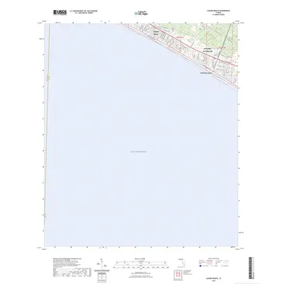
 2015 Laguna Beach2015 Print · USGSCovers Panama City Beach, including Laguna Beach, Gulf Resort Beach, and other nearby areas
 - 2015 Map of West Bay, 2015 Print
 2015 West Bay2015 Print · USGSCovers Panama City Beach, including West Bay, Bay County, and other nearby areas
 - 2015 Map of Seminole Hills, 2015 Print
 2015 Seminole Hills2015 Print · USGSCovers Panama City Beach, including Laird, Hollywood Beach, and other nearby areas
 - 2018 Map of Seminole Hills, 2018 Print
 2018 Seminole Hills2018 Print · USGSCovers Panama City Beach, including Laird, Hollywood Beach, and other nearby areas
 - 2018 Map of Laguna Beach, 2018 Print
 2018 Laguna Beach2018 Print · USGSCovers Panama City Beach, including Laguna Beach, Gulf Resort Beach, and other nearby areas
 - 2018 Map of West Bay, 2018 Print
 2018 West Bay2018 Print · USGSCovers Panama City Beach, including West Bay, Bay County, and other nearby areas
 - 2018 Map of Panama City Beach, 2018 Print
 2018 Panama City Beach2018 Print · USGSCovers Panama City Beach, including Biltmore Beach, Lower Grand Lagoon, and other nearby areas
 - 2021 Map of Panama City Beach, 2021 Print
 2021 Panama City Beach2021 Print · USGSCovers Panama City Beach, including Biltmore Beach, Lower Grand Lagoon, and other nearby areas
 - 2021 Map of Laguna Beach, 2021 Print
 2021 Laguna Beach2021 Print · USGSCovers Panama City Beach, including Laguna Beach, Gulf Resort Beach, and other nearby areas
 - 2021 Map of Seminole Hills, 2021 Print
 2021 Seminole Hills2021 Print · USGSCovers Panama City Beach, including Laird, Hollywood Beach, and other nearby areas
 - 2021 Map of West Bay, 2021 Print
 2021 West Bay2021 Print · USGSCovers Panama City Beach, including West Bay, Bay County, and other nearby areas
 - 2024 Map of West Bay, 2024 Print
 2024 West Bay2024 Print · USGSThe coastal community of West Bay and the surrounding Florida wetlands are shown here in the early 2020s. Researchers can locate local landmarks like the West Bay Cem and trace the winding paths of Crooked Creek and the Intracoastal Waterway.
 - 2024 Map of Laguna Beach, 2024 Print
 2024 Laguna Beach2024 Print · USGSCovers Panama City Beach, including Laguna Beach, Gulf Resort Beach, and other nearby areas
 - 2024 Map of Seminole Hills, 2024 Print
 2024 Seminole Hills2024 Print · USGSCovers Panama City Beach, including Laird, Hollywood Beach, and other nearby areas
 - 2024 Map of Panama City Beach, 2024 Print
 2024 Panama City Beach2024 Print · USGSCovers Panama City Beach, including Biltmore Beach, Lower Grand Lagoon, and other nearby areas
 - 2025 Map of Seminole Hills, 2025 Print
 2025 Seminole Hills2025 Print · USGSThe Florida Panhandle coastline near the Walton and Bay County line comes into focus in this recent survey. Researchers can trace the development of beach communities like Laguna Beach and explore the vast conservation trails and waterways surrounding Powell Lake.
 - 2025 Map of Panama City Beach, 2025 Print
 2025 Panama City Beach2025 Print · USGSPanama City Beach and the surrounding Bay County shoreline appear in extensive detail in this modern survey. Researchers can trace the layout of coastal neighborhoods like Bid-A-Wee and Biltmore Beach or locate the Naval Support Activity Panama City.
 - 2025 Map of Laguna Beach, 2025 Print
 2025 Laguna Beach2025 Print · USGSThe Florida panhandle shoreline comes into focus in this contemporary survey of the Emerald Coast. Researchers can trace the modern development of coastal communities like Laguna Beach and Gulf Resort Beach along the corridors of E Co Rd 30A and S Arnold Rd.
End of results
Showing maps 1-23 of 23
Top cities near Panama City Beach
- Panama City historical maps
- Upper Grand Lagoon historical maps
- Lynn Haven historical maps
- Freeport historical maps
- Beacon Beach historical maps
- Ebro historical maps
See more
Top neighborhoods of Panama City Beach
- Bid-A-Wee historical maps
- Edgewater Gulf Beach historical maps
- Florida Beach historical maps
- Gulf Resort Beach historical maps
- West Panama City Beach historical maps
- Bahama Beach historical maps
See more
Frequently asked questions
- What are the different types of historical maps available for Panama City Beach?
- What is the oldest map of Panama City Beach?
- Where can I purchase historical maps of Panama City Beach for my home or office?
- Where can I download high-res historical maps of Panama City Beach?
- Are there historical topographic maps available for Panama City Beach?
- Is there historical aerial imagery available for Panama City Beach?
- Where are historical maps of Panama City Beach sourced from?