2000s (21st Century) Maps of Parker, Florida
Explore 11 historic maps of Parker from the 2000s (21st Century). These maps offer a rare glimpse into what life looked like during the 2000s — showing old roads, neighborhoods, homes, and landmarks that have changed or disappeared over time.
Whether you're researching your family's past, planning a metal detecting trip, or studying how Parker's landscape evolved across the 2000s, these high-resolution maps are a powerful tool for exploring the history of this region.
- Focus on a specific era: All maps on this page are from the 2000s, giving you a focused view of this time period.
- See what’s changed: Compare century-old streets, trails, and buildings to today's modern landscape using overlays and satellite layers.
- Research with precision: Use these maps for genealogy, historical research, land use analysis, or educational projects.
- View, download, or print: Maps are fully viewable online in high resolution, and can be downloaded or printed for your own records.
Start exploring Parker's history through authentic maps from the 2000s. This is your window into the past.
Parker, FL maps
(11)- 2012 Map of Long Point, 2012 Print
 2012 Long Point2012 Print · USGSCovers Parker, including Bay View Housing, Cook, and other nearby areas
 - 2012 Map of Springfield, 2012 Print
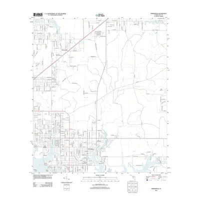 2012 Springfield2012 Print · USGSCovers Parker, including Panama City, Lynn Haven, and other nearby areas
 - 2015 Map of Springfield, 2015 Print
 2015 Springfield2015 Print · USGSCovers Parker, including Panama City, Lynn Haven, and other nearby areas
 - 2015 Map of Long Point, 2015 Print
 2015 Long Point2015 Print · USGSCovers Parker, including Bay View Housing, Cook, and other nearby areas
 - 2018 Map of Springfield, 2018 Print
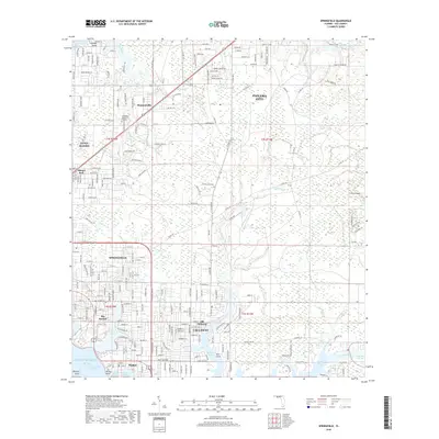 2018 Springfield2018 Print · USGSCovers Parker, including Panama City, Lynn Haven, and other nearby areas
 - 2018 Map of Long Point, 2018 Print
 2018 Long Point2018 Print · USGSCovers Parker, including Bay View Housing, Cook, and other nearby areas
 - 2021 Map of Springfield, 2021 Print
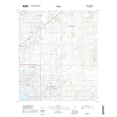 2021 Springfield2021 Print · USGSCovers Parker, including Panama City, Lynn Haven, and other nearby areas
 - 2021 Map of Long Point, 2021 Print
 2021 Long Point2021 Print · USGSCovers Parker, including Bay View Housing, Cook, and other nearby areas
 - 2024 Map of Springfield, 2024 Print
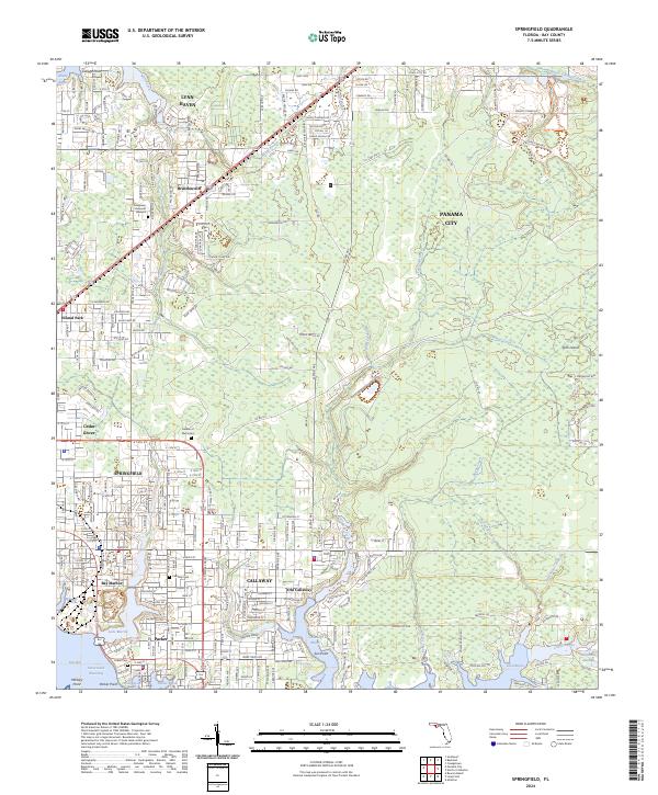 2024 Springfield2024 Print · USGSThe Springfield and Callaway area near East Bay is shown here in the 2020s, highlighting the region's dense residential growth and tidal geography. Researchers can find old family burial grounds at Parker Cem and Callaway Cem, or trace the shoreline around Old Callaway and Laird Bayou.
 - 2024 Map of Long Point, 2024 Print
 2024 Long Point2024 Print · USGSCovers Parker, including Bay View Housing, Cook, and other nearby areas
 - 2025 Map of Long Point, 2025 Print
 2025 Long Point2025 Print · USGSThe coastal military landscape of the Florida Panhandle is on full display here, showing the massive footprint of Tyndall AFB alongside growing shoreline communities. Trace the modern development of Parker, Callaway, and the intricate inlets of Laird Bayou.
End of results
Showing maps 1-11 of 11
Top cities near Parker
- Panama City historical maps
- Upper Grand Lagoon historical maps
- Lynn Haven historical maps
- Callaway historical maps
- Panama City Beach historical maps
- Springfield historical maps
See more
Top neighborhoods of Parker
Frequently asked questions
- What are the different types of historical maps available for Parker?
- What is the oldest map of Parker?
- Where can I purchase historical maps of Parker for my home or office?
- Where can I download high-res historical maps of Parker?
- Are there historical topographic maps available for Parker?
- Is there historical aerial imagery available for Parker?
- Where are historical maps of Parker sourced from?