Old Maps of Cross City, Florida for Academic Research
Study the evolution of Cross City with 28 high-resolution historic maps. Whether you're teaching, researching, or modeling changes in land use, these maps provide essential visual documentation of urban, environmental, and geographic change.
- Analyze long-term change: Track patterns in development, transportation, and natural features.
- Ideal for environmental or urban studies: Support academic projects with primary historical map data.
- Use in the classroom or lab: Educators and researchers rely on these maps to bring historical context to life.
These maps are a powerful tool for teaching, research, and visualizing how Cross City has changed over the decades.
Cross City, FL maps
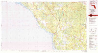
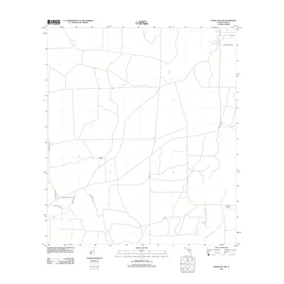
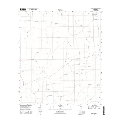
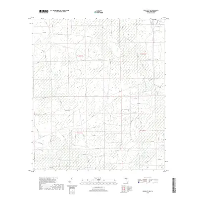
(28)- 1954 Map of Cross City West, 1955 Print
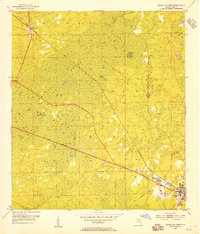 1954 Cross City West1955 Print · USGSDixie County at the start of the 1950s reveals a landscape defined by the timber industry and its expansive wetlands. Genealogists and local historians can trace the development of CROSS CITY, the community of Shamrock, and the rail infrastructure of the Atlantic Coast Line.3 unique versions available
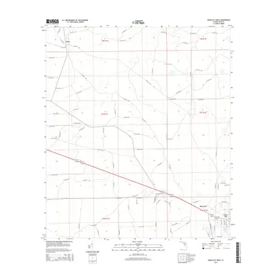
 - 1954 Map of Eugene, 1955 Print
 1954 Eugene1955 Print · USGSCoastal Dixie County in the mid-fifties is defined by the deep reaches of California Swamp and the vital Atlantic Coast Line railroad. Genealogists and local historians can trace the rural landscape through Eugene, Long Pond Cem, and Prospect Ch.3 unique versions available
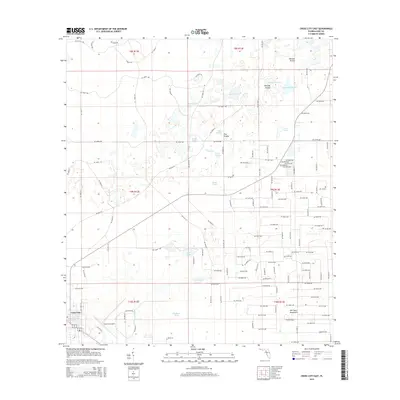
 - 1954 Map of Cross City East, 1955 Print
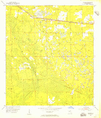
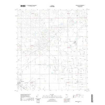
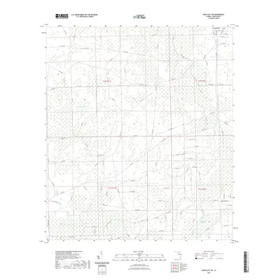
 1954 Cross City East1955 Print · USGSThe area around Cross City comes to life in the mid-1950s, showing a landscape defined by its wetlands and the Atlantic Coast Line railroad. You can trace the rural infrastructure from the Cross City Airport to local landmarks like Holly Hill Lookout Tower and Ocean Pond.3 unique versions available
 - 1954 Map of Cross City SW, 1955 Print
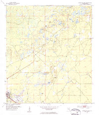
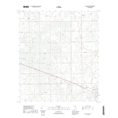
 1954 Cross City SW1955 Print · USGSCoastal Dixie County in the mid-1950s was a landscape of dense wetlands and forest management infrastructure. You can trace the remnants of the Old Railroad Grade or locate local landmarks like Sandhill Cem and the Horseshoe Lookout Tower.4 unique versions available
 - 1954 Map of Gainesville, 1965 Print
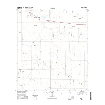
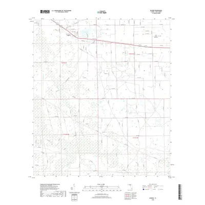
 1954 Gainesville1965 Print · USGSMid-century North Central Florida comes into focus as a landscape of timber, rails, and river towns along the Gulf. Trace family roots in established centers like Gainesville or follow the path of the Suwannee River to the coastal docks of Cedar Key.3 unique versions available
 - 1958 Map of Gainesville
 1958 Gainesville1958 Print · USGSNorth Central Florida’s rail and river networks are frozen in time just before the interstate era. Genealogists and historians can trace the paths of the Atlantic Coast Line through Gainesville or locate coastal settlements like Steinhatchee and Cedar Key.
 - 1959 Map of Gainesville
 1959 Gainesville1959 Print · USGSNorth Florida in the mid-fifties is seen here from the Gulf coast to the inland lakes, showing the rail-and-river network before modern highways dominated. Researchers can trace the paths of the Seaboard Air Line through towns like Chiefland and Micanopy, or explore the coastal inlets of Waccasassa Bay.
 - 1978 Map of Cross City, 1980 Print
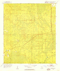
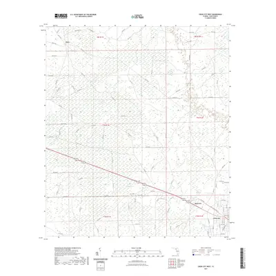
 1978 Cross City1980 Print · USGSThe Florida Big Bend's coastal swamps and timberlands are captured here in the late seventies. Researchers can trace the path of the Seaboard Coast Line through Cross City or locate old coastal spots like Fishermans Rest and Clara.2 unique versions available
 - 2012 Map of Cross City West, 2012 Print
 2012 Cross City West2012 Print · USGSCovers Cross City, including Hines, Shamrock, and other nearby areas
 - 2012 Map of Cross City East, 2012 Print
 2012 Cross City East2012 Print · USGSCovers Cross City, including Dixie County, United States, and other nearby areas
 - 2012 Map of Eugene, 2012 Print
 2012 Eugene2012 Print · USGSCovers Cross City, including Eugene, Dixie County, and other nearby areas
 - 2012 Map of Cross City SW, 2012 Print
 2012 Cross City SW2012 Print · USGSCovers Cross City, including Dixie County, United States, and other nearby areas
 - 2015 Map of Cross City West, 2015 Print
 2015 Cross City West2015 Print · USGSCovers Cross City, including Hines, Shamrock, and other nearby areas
 - 2015 Map of Eugene, 2015 Print
 2015 Eugene2015 Print · USGSCovers Cross City, including Eugene, Dixie County, and other nearby areas
 - 2015 Map of Cross City East, 2015 Print
 2015 Cross City East2015 Print · USGSCovers Cross City, including Dixie County, United States, and other nearby areas
 - 2015 Map of Cross City SW, 2015 Print
 2015 Cross City SW2015 Print · USGSCovers Cross City, including Dixie County, United States, and other nearby areas
 - 2018 Map of Cross City East, 2018 Print
 2018 Cross City East2018 Print · USGSCovers Cross City, including Dixie County, United States, and other nearby areas
 - 2018 Map of Cross City West, 2018 Print
 2018 Cross City West2018 Print · USGSCovers Cross City, including Hines, Shamrock, and other nearby areas
 - 2018 Map of Eugene, 2018 Print
 2018 Eugene2018 Print · USGSCovers Cross City, including Eugene, Dixie County, and other nearby areas
 - 2018 Map of Cross City SW, 2018 Print
 2018 Cross City SW2018 Print · USGSCovers Cross City, including Dixie County, United States, and other nearby areas
 - 2021 Map of Eugene, 2021 Print
 2021 Eugene2021 Print · USGSCovers Cross City, including Eugene, Dixie County, and other nearby areas
 - 2021 Map of Cross City SW, 2021 Print
 2021 Cross City SW2021 Print · USGSCovers Cross City, including Dixie County, United States, and other nearby areas
 - 2021 Map of Cross City West, 2021 Print
 2021 Cross City West2021 Print · USGSCovers Cross City, including Hines, Shamrock, and other nearby areas
 - 2021 Map of Cross City East, 2021 Print
 2021 Cross City East2021 Print · USGSCovers Cross City, including Dixie County, United States, and other nearby areas
 - 2024 Map of Cross City SW, 2024 Print
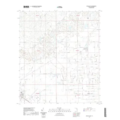
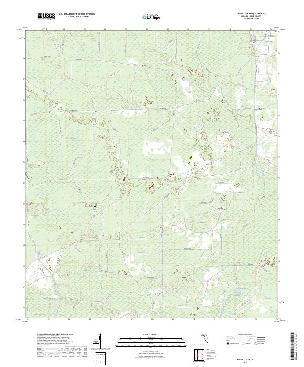 2024 Cross City SW2024 Print · USGSThe wetlands of Dixie County are documented here in the early twenty-first century, showing the intersection of Florida's timberlands and rural ranching life. Researchers can locate Sandhill Cem and trace the drainage patterns of Pumpkin Swamp and Fishbone Creek.
Showing maps 1-25 of 28
Top cities near Cross City
Frequently asked questions
- What are the different types of historical maps available for Cross City?
- What is the oldest map of Cross City?
- Where can I purchase historical maps of Cross City for my home or office?
- Where can I download high-res historical maps of Cross City?
- Are there historical topographic maps available for Cross City?
- Is there historical aerial imagery available for Cross City?
- Where are historical maps of Cross City sourced from?