
1954 Map of Cross City SW
USGS Topo · Published 1955About this map
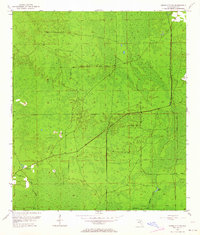
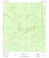
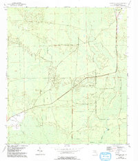
California Swamp dominates this landscape in the mid-1950s, where the low-lying terrain is defined by a network of wetlands and seasonal watercourses. The presence of the Old Railroad Grade running through the center of the sheet suggests the legacy of a timber or industrial corridor that once moved through these wetlands. Significant local landmarks include the Sandhill Cem and the Horseshoe Lookout Tower, which served as a critical vantage point for monitoring the surrounding pine forests and marshlands. To the southeast, Davis Island rises as a distinct feature near the winding path of Fishbone Creek and Station Lake. The map illustrates a period of transition where early industrial transport infrastructure was being reclaimed by the environment, leaving only the graded paths and a few established settlements and landmarks.
Find a feature on this map
9 named features on this map. Tap any name to fly to it.
Don’t see what you’re looking for? This feature index may not catch every label — zoom into the map to look around manually.
Map Details
Editions of this 1954 Cross City SW Map
4 editions found
Other maps of this area

1954 · Cross City West
USGS Topo · 1:24,000

1954 · Eugene
USGS Topo · 1:24,000

1954 · Cross City East
USGS Topo · 1:24,000

1954 · Jena
USGS Topo · 1:24,000

1954 · Steinhatchee SE
USGS Topo · 1:24,000

1954 · Horseshoe Beach
USGS Topo · 1:24,000

1954 · Vista
USGS Topo · 1:24,000

1954 · Gainesville
USGS Topo · 1:250,000

1955 · Shired Island
USGS Topo · 1:24,000

1958 · Gainesville
USGS Topo · 1:250,000