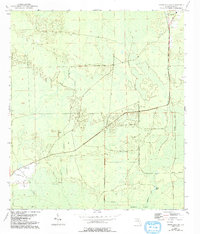
1954 Map of Cross City SW
USGS Topo · Published 1993About this map
California Swamp dominates this landscape in southern Dixie County, revealing a low-lying terrain defined by intricate drainage networks and isolated hammocks. The southwestern outskirts of Cross City appear in the upper corner, while the surrounding territory is primarily wilderness and wetlands. A clear structural history of the region is visible through the Old Railroad Grade, which cuts diagonally across the center of the map, suggesting the former importance of timber extraction or transit through these coastal lowlands.
Find a feature on this map
10 named features on this map. Tap any name to fly to it.
Don’t see what you’re looking for? This feature index may not catch every label — zoom into the map to look around manually.
Map Details
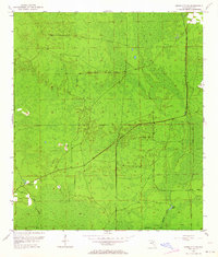
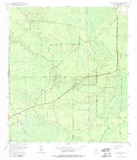
Editions of this 1954 Cross City SW Map
4 editions found
Other maps of this area

1954 · Cross City West
USGS Topo · 1:24,000

1954 · Eugene
USGS Topo · 1:24,000

1954 · Cross City East
USGS Topo · 1:24,000

1954 · Jena
USGS Topo · 1:24,000

1954 · Steinhatchee SE
USGS Topo · 1:24,000

1954 · Cross City SW
USGS Topo · 1:24,000

1954 · Horseshoe Beach
USGS Topo · 1:24,000

1954 · Vista
USGS Topo · 1:24,000

1954 · Gainesville
USGS Topo · 1:250,000

1955 · Shired Island
USGS Topo · 1:24,000