Old Maps of McKinnon, Florida for Metal Detecting
Plan your next treasure hunt with 13 historic maps of McKinnon. Find old homesites, ghost towns, trails, and gathering spots that may be lost to time — perfect for identifying promising metal detecting locations.
- Locate forgotten sites: Uncover places like long-lost settlements, abandoned rail lines, or gathering spots.
- Plan better hunts: Use map overlays combined with LiDAR or satellite views to narrow in on historically rich areas.
- Made for detectorists: Thousands of hobbyists use these maps to discover relics, coins, and hidden history.
Use these historic maps to boost your research and find new opportunities beneath the surface of McKinnon.
McKinnon, FL maps
(13)- 1941 Map of Century, 1962 Print
 1941 Century1962 Print · USGSThe Florida-Alabama borderlands come alive in the early 1940s as a landscape of river-bottom wetlands and upland rail towns. Genealogists can trace family roots at Coon Hill Cem, Kays Chapel, and long-standing schools like Pine Barren Sch.2 unique versions available
 - 1943 Map of Century
 1943 Century1943 Print · USGSThe Florida-Alabama borderlands in the 1940s are defined by the winding Escambia River and a thriving rail-and-timber network. Researchers can trace rural life through family-named landmarks like Coon Hill Cem, Ward Sch, and Chumuckla Springs.2 unique versions available
 - 1957 Map of Pensacola, 1967 Print
 1957 Pensacola1967 Print · USGSThe Florida Panhandle and Alabama coast are seen here at the height of the Cold War, showcasing a unique mix of military aviation and emerging beach tourism. Genealogists and local historians can trace legacy sites like Old Corry Field, the lumber town of Bagdad, and the coastal reaches of Santa Rosa Island.3 unique versions available
 - 1959 Map of Pensacola
 1959 Pensacola1959 Print · USGSThe Florida Panhandle and Alabama coast come alive in this late fifties survey of military aviation and maritime life. Genealogists can trace family roots in Bagdad, Loxley, and Milton while mapping the rails of the Louisville and Nashville.
 - 1960 Map of Pensacola
 1960 Pensacola1960 Print · USGSThe Florida Panhandle and Alabama's eastern shore are shown during a period of rapid military and coastal growth. Genealogists and historians can trace the mid-century footprints of Warrington, the Pensacola NAS (Chevalier), and the Blackwater River timber lands.
 - 1978 Map of Bay Springs
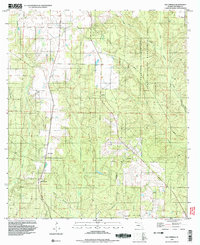
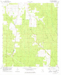 1978 Bay Springs1978 Print · USGSEscambia County in the late seventies is characterized by timber-lined creek basins and the vital rail corridor of the St Louis - San Francisco railroad. Researchers can trace the local landscape around Bay Springs and McKinnon, locating a rural Cem and industrial remnants like the western Claypit.2 unique versions available
 - 1981 Map of Bay Minette
 1981 Bay Minette1981 Print · USGSThe Alabama-Florida borderlands come to life in the early 1980s as the river delta meets the growing coastal communities. Researchers can trace the Louisville and Nashville rail lines or locate historical points like Twenty-two Mile Bluff and the Blackwater River State Forest.2 unique versions available
 - 1994 Map of Bay Springs, 1998 Print
 1994 Bay Springs1998 Print · USGSThe Florida Panhandle north of Pensacola is captured here in the mid-1990s, centered on the rural settlements of Bay Springs and McKinnon. Researchers can trace the local landscape through features like the Cem, old industrial sites such as a Sandpit, and the sprawling Champion International State Wildlife Management Area.2 unique versions available
 - 2012 Map of Bay Springs, 2012 Print
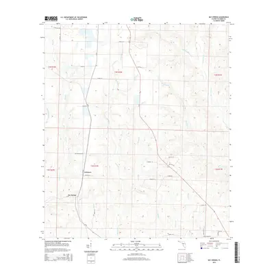
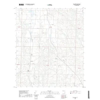
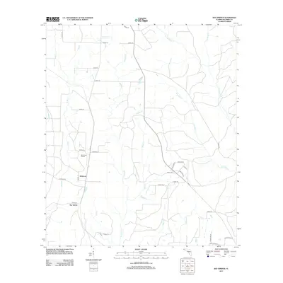 2012 Bay Springs2012 Print · USGSCovers McKinnon, including Bay Springs, Escambia County, and other nearby areas
 - 2015 Map of Bay Springs, 2015 Print
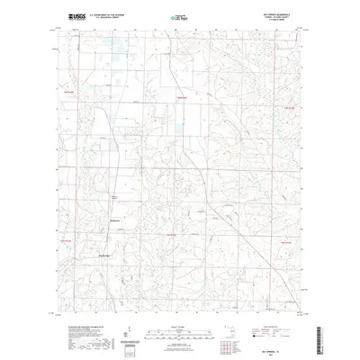
 2015 Bay Springs2015 Print · USGSCovers McKinnon, including Bay Springs, Escambia County, and other nearby areas
 - 2018 Map of Bay Springs, 2018 Print
 2018 Bay Springs2018 Print · USGSCovers McKinnon, including Bay Springs, Escambia County, and other nearby areas
 - 2021 Map of Bay Springs, 2021 Print
 2021 Bay Springs2021 Print · USGSCovers McKinnon, including Bay Springs, Escambia County, and other nearby areas
 - 2024 Map of Bay Springs, 2024 Print
 2024 Bay Springs2024 Print · USGSEscambia County’s rural interior is documented here in the 2020s, showing a landscape defined by the winding McDavid Creek. Researchers can locate family landmarks such as Bay Springs Cem and the Dogwood Park Baptist Church.
End of results
Showing maps 1-13 of 13
Top cities near McKinnon
- Atmore historical maps
- Robertsdale historical maps
- Loxley historical maps
- Century historical maps
- Flomaton historical maps
- McDavid historical maps
See more
Frequently asked questions
- What are the different types of historical maps available for McKinnon?
- What is the oldest map of McKinnon?
- Where can I purchase historical maps of McKinnon for my home or office?
- Where can I download high-res historical maps of McKinnon?
- Are there historical topographic maps available for McKinnon?
- Is there historical aerial imagery available for McKinnon?
- Where are historical maps of McKinnon sourced from?