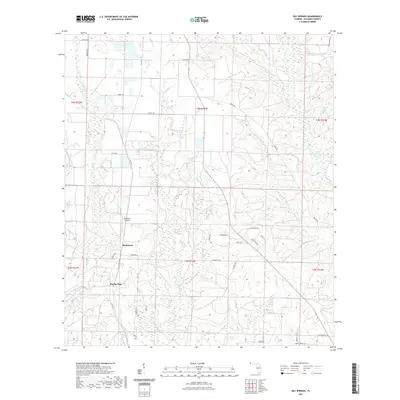
2021 Map of Bay Springs
USGS Topo · Published 2021About this map
The northern reaches of Escambia County are defined by a complex network of waterways, where Bay Springs and McKinnon sit amidst a landscape of winding creeks and branches. The terrain is crisscrossed by drainage systems including McDavid Cr, Blue Water Cr, and the northern tributaries of Pine Barren Cr. A modern airfield, the McKinnon Airpark, serves as a localized landmark within this rural setting.
Find a feature on this map
47 named features on this map. Tap any name to fly to it.
Don’t see what you’re looking for? This feature index may not catch every label — zoom into the map to look around manually.
Map Details
Editions of this 2021 Bay Springs Map
This is the sole edition of this map. No revisions or reprints were ever made.
Other maps of this area

1920 · Robertsdale
USGS Topo · 1:62,500

1921 · Muscogee
USGS Topo · 1:62,500

1941 · Muscogee
USGS Topo · 1:62,500

1941 · Robertsdale
USGS Topo · 1:62,500

1941 · Century
USGS Topo · 1:62,500

1942 · Dyas
USGS Topo · 1:62,500

1943 · Robertsdale
USGS Topo · 1:62,500

1943 · Muscogee
USGS Topo · 1:62,500

1943 · Century
USGS Topo · 1:62,500

1944 · Dyas
USGS Topo · 1:62,500