2020s Maps of Pensacola, Florida
Explore 6 historic maps of Pensacola from the 2020s. These maps offer a rare glimpse into what life looked like during the 2020s — showing old roads, neighborhoods, homes, and landmarks that have changed or disappeared over time.
Whether you're researching your family's past, planning a metal detecting trip, or studying how Pensacola's landscape evolved across the 2020s, these high-resolution maps are a powerful tool for exploring the history of this region.
- Focus on a specific era: All maps on this page are from the 2020s, giving you a focused view of this time period.
- See what’s changed: Compare century-old streets, trails, and buildings to today's modern landscape using overlays and satellite layers.
- Research with precision: Use these maps for genealogy, historical research, land use analysis, or educational projects.
- View, download, or print: Maps are fully viewable online in high resolution, and can be downloaded or printed for your own records.
Start exploring Pensacola's history through authentic maps from the 2020s. This is your window into the past.
Pensacola, FL maps
(6)- 2021 Map of Pace, 2021 Print
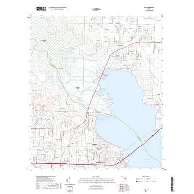 2021 Pace2021 Print · USGSCovers Pensacola, including Riverview, Otis Landing, and other nearby areas
 - 2021 Map of West Pensacola, 2021 Print
 2021 West Pensacola2021 Print · USGSCovers Pensacola, including Cerny Heights, Sand Cut, and other nearby areas
 - 2021 Map of Pensacola, 2021 Print
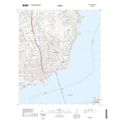 2021 Pensacola2021 Print · USGSCovers Pensacola, including Goulding, Sanders Beach, and other nearby areas
 - 2024 Map of Pace, 2024 Print
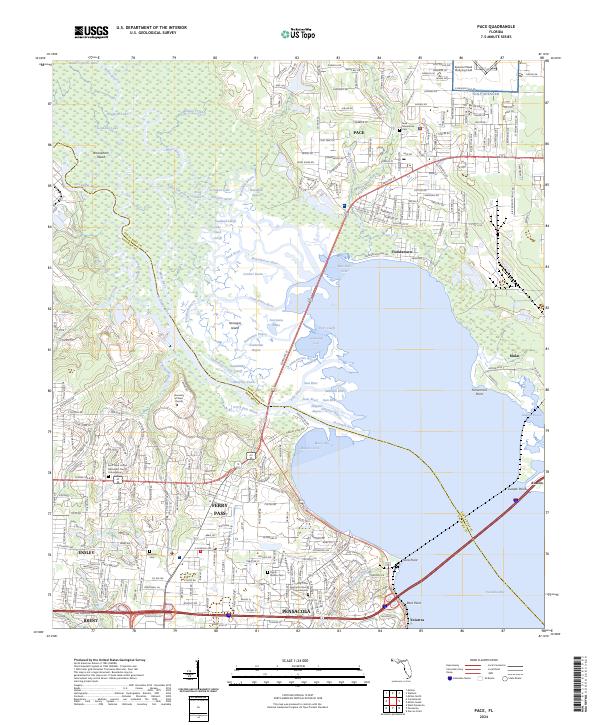 2024 Pace2024 Print · USGSThe Florida Panhandle comes into focus at a time of suburban expansion and historical preservation near the Escambia River. Genealogists and researchers can trace local landmarks like Whitmire Cem, the University of West Florida, and the coastal legacy of Floridatown.
 - 2024 Map of West Pensacola, 2024 Print
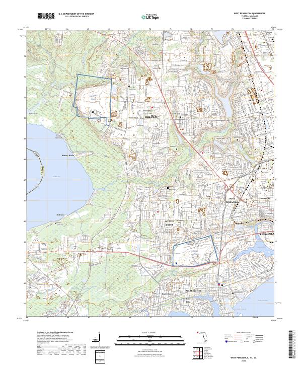 2024 West Pensacola2024 Print · USGSEscambia County's coastal suburbs and military installations are captured here in the mid-2020s. Researchers can locate family heritage sites like the Milsted Family Cem and Good Hope AME Church Cem or trace the development around Saufley Field.
 - 2024 Map of Pensacola, 2024 Print
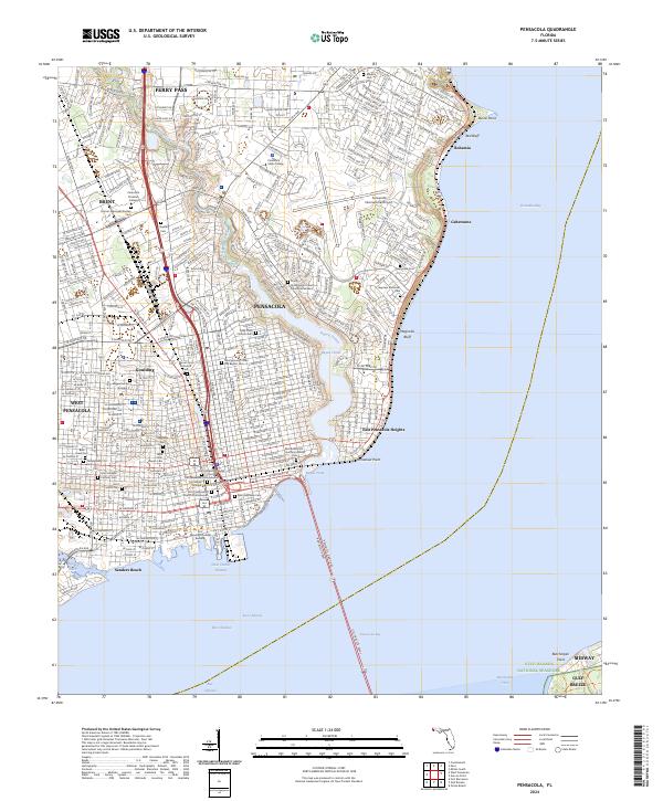 2024 Pensacola2024 Print · USGSCoastal Florida thrives in this recent survey of the Pensacola bayfront as the city reaches toward the Gulf. Genealogists can trace family heritage across a remarkable concentration of historic sites, including the Old Pensacola City Cem, Mount Zion Historical Cem, and Magnolia Cem.
End of results
Showing maps 1-6 of 6
Top cities near Pensacola
Top neighborhoods of Pensacola
- Bohemia historical maps
- Gaberonne historical maps
- East Pensacola Heights historical maps
- Sanders Beach historical maps
- Gull Point historical maps
- Cordova Park historical maps
See more
Frequently asked questions
- What are the different types of historical maps available for Pensacola?
- What is the oldest map of Pensacola?
- Where can I purchase historical maps of Pensacola for my home or office?
- Where can I download high-res historical maps of Pensacola?
- Are there historical topographic maps available for Pensacola?
- Is there historical aerial imagery available for Pensacola?
- Where are historical maps of Pensacola sourced from?