Old Maps of Seaglades, Florida for Genealogy
Trace your family roots with 16 historic maps of Seaglades. These high-res maps reveal old neighborhoods, homesites, landmarks, and streets — helping you uncover where your ancestors lived and how the area evolved over time.
- Explore historic neighborhoods: Identify where your relatives may have lived in the 1800s or 1900s.
- Compare maps over time: Trace the changes in streets, buildings, and landmarks for multi-generational research.
- Perfect for genealogy & ancestry research: Used by family historians and researchers to map out lineage and migration.
These maps are an incredible resource for exploring your personal connection to Seaglades's past.
Seaglades, FL maps
(16)- 1921 Map of Fort Barrancas
 1921 Fort Barrancas1921 Print · USGSThe Florida-Alabama coast at the start of the 1920s reveals a landscape defined by naval history and maritime industry. Researchers can trace the military layout of Ft. Barrancas, locate Pensacola Light, and find vanished streets in Woolsey.
 - 1941 Map of Fort Barrancas
 1941 Fort Barrancas1941 Print · USGSCoastal Florida and Alabama meet at the Perdido River during the early 1940s, showing a landscape of bayous, naval aviation, and growing bayside towns. Genealogists and historians can trace old homesteads near Millview, Fort Barrancas, and schools like Oakfield Sch.3 unique versions available
 - 1943 Map of Fort Barrancas
 1943 Fort Barrancas1943 Print · USGSThe Florida-Alabama borderlands at Perdido Bay come alive in the early 1940s, showing a landscape of coastal swamps and growing Pensacola suburbs. Researchers can trace the grounds of Fort Barrancas, locate Oakfield Sch, or find family roots near Millview and Seminole.2 unique versions available
 - 1944 Map of Perdido Bay South
 1944 Perdido Bay South1944 Print · USGSThe Florida-Alabama borderlands at Perdido Bay were a complex of waterways and barrier islands during the 1940s. Genealogists and maritime historians can trace old coastal landmarks like the Pontoon Swing Bridge, Perdido Beach, and the Old River.
 - 1957 Map of Pensacola, 1967 Print
 1957 Pensacola1967 Print · USGSThe Florida Panhandle and Alabama coast are seen here at the height of the Cold War, showcasing a unique mix of military aviation and emerging beach tourism. Genealogists and local historians can trace legacy sites like Old Corry Field, the lumber town of Bagdad, and the coastal reaches of Santa Rosa Island.3 unique versions available
 - 1959 Map of Pensacola
 1959 Pensacola1959 Print · USGSThe Florida Panhandle and Alabama coast come alive in this late fifties survey of military aviation and maritime life. Genealogists can trace family roots in Bagdad, Loxley, and Milton while mapping the rails of the Louisville and Nashville.
 - 1960 Map of Pensacola
 1960 Pensacola1960 Print · USGSThe Florida Panhandle and Alabama's eastern shore are shown during a period of rapid military and coastal growth. Genealogists and historians can trace the mid-century footprints of Warrington, the Pensacola NAS (Chevalier), and the Blackwater River timber lands.
 - 1970 Map of Perdido Bay, 1971 Print
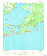 1970 Perdido Bay1971 Print · USGSPerdido Bay and the surrounding coastal reaches of Florida and Alabama are shown here during the early seventies. Researchers can trace the development of beachside communities like Seaglades and Gulf Beach or locate early marinas such as Holiday Harbor Marina.4 unique versions available
 - 1978 Map of Pensacola, 1980 Print
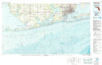 1978 Pensacola1980 Print · USGSThe Gulf Coast at the end of the 1970s reveals a landscape shaped by maritime industry and a heavy naval presence. Researchers can trace the development of Pensacola alongside quiet coastal hamlets like Magnolia Springs and the historic Fort Pickens State Park.3 unique versions available
 - 1994 Map of Perdido Bay
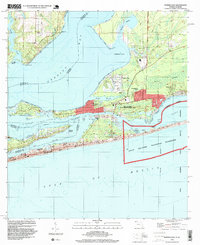 1994 Perdido Bay1994 Print · USGSCoastal Florida and Alabama meet at Perdido Bay in the mid-nineties, showing a landscape of growing beach communities and protected seashores. Trace local landmarks like the Holiday Harbor Marina, the residential blocks of Gulf Beach, and the wild expanses of Rabbit Island.
 - 2012 Map of Perdido Bay, 2012 Print
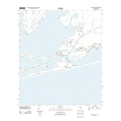 2012 Perdido Bay2012 Print · USGSThe Gulf Coast shoreline at the Alabama-Florida border is captured here in the early twenty-first century. Local researchers can trace the residential development of Ono Island and Gulf Beach Heights or locate landmarks like Holiday Harbor Marina and Johnsons Beach.
 - 2015 Map of Perdido Bay, 2015 Print
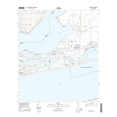 2015 Perdido Bay2015 Print · USGSThe Alabama and Florida borderlands meet along the shores of Perdido Bay in this coastal survey from the mid-2010s. Researchers can trace waterfront neighborhoods like Perdido Beach and Gulf Beach Heights or explore the protected expanse of the Gulf Islands National Seashore.
 - 2018 Map of Perdido Bay, 2018 Print
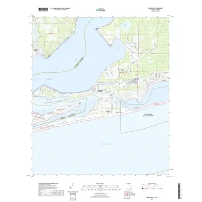 2018 Perdido Bay2018 Print · USGSCoastal Alabama and Florida meet at Perdido Bay in this recent survey of the barrier islands and bayous. Genealogists and local historians can trace modern property developments on Ono Island and Perdido Key or locate landmarks like Red Bluff and Tarkiln Point.
 - 2021 Map of Perdido Bay, 2021 Print
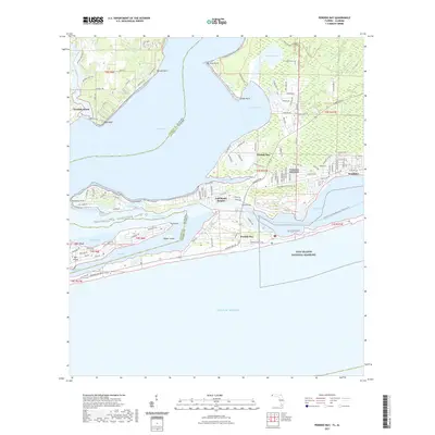 2021 Perdido Bay2021 Print · USGSPerdido Bay and the barrier islands of Alabama and Florida are mapped here in the early twenty-first century. Genealogists and historians can trace coastal development through Perdido Beach and Gulf Beach Heights, or explore the protected shores of Perdido Key.
 - 2024 Map of Perdido Bay, 2024 Print
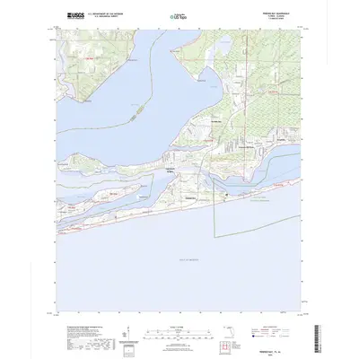 2024 Perdido Bay2024 Print · USGSThe coastal border of Alabama and Florida comes into focus in this contemporary survey of the bayous and barrier islands. Researchers can trace modern property lines and shoreline changes near Treasure Hill Park, Ono Island, and the Tarkin Bayou Preserve State Park.
 - 2025 Map of Perdido Bay, 2025 Print
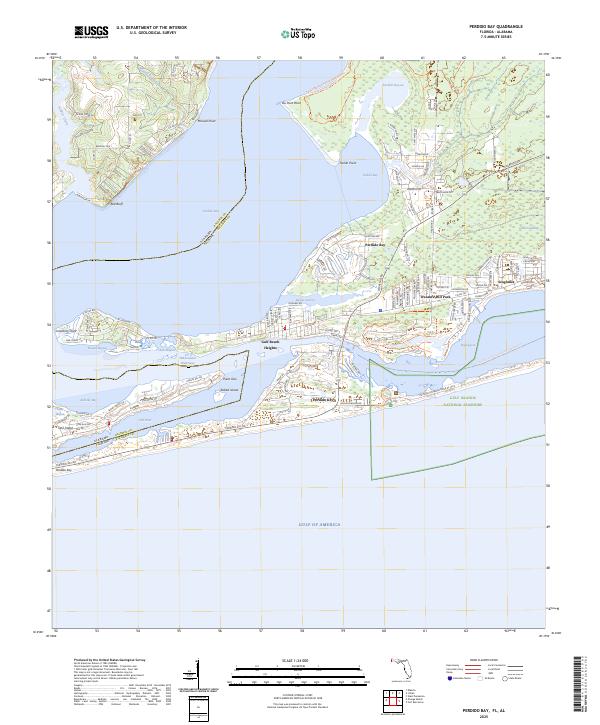 2025 Perdido Bay2025 Print · USGSPerdido Bay and the surrounding coastal islands are captured in this recent survey of the Florida-Alabama border. Researchers can trace the modern development of Gulf Beach Heights or explore the protected lands of Gulf Islands National Seashore and Big Lagoon.
End of results
Showing maps 1-16 of 16
Top cities near Seaglades
- Pensacola historical maps
- Ensley historical maps
- Foley historical maps
- Orange Beach historical maps
- Elberta historical maps
- Lillian historical maps
See more
Frequently asked questions
- What are the different types of historical maps available for Seaglades?
- What is the oldest map of Seaglades?
- Where can I purchase historical maps of Seaglades for my home or office?
- Where can I download high-res historical maps of Seaglades?
- Are there historical topographic maps available for Seaglades?
- Is there historical aerial imagery available for Seaglades?
- Where are historical maps of Seaglades sourced from?