2020s Maps of Gilchrist County, Florida
Explore 24 historic maps of Gilchrist County from the 2020s. These maps offer a rare glimpse into what life looked like during the 2020s — showing old roads, neighborhoods, homes, and landmarks that have changed or disappeared over time.
Whether you're researching your family's past, planning a metal detecting trip, or studying how Gilchrist County's landscape evolved across the 2020s, these high-resolution maps are a powerful tool for exploring the history of this region.
- Focus on a specific era: All maps on this page are from the 2020s, giving you a focused view of this time period.
- See what’s changed: Compare century-old streets, trails, and buildings to today's modern landscape using overlays and satellite layers.
- Research with precision: Use these maps for genealogy, historical research, land use analysis, or educational projects.
- View, download, or print: Maps are fully viewable online in high resolution, and can be downloaded or printed for your own records.
Start exploring Gilchrist County's history through authentic maps from the 2020s. This is your window into the past.
Gilchrist County, FL maps
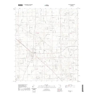
(24)- 2021 Map of Trenton, 2021 Print
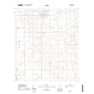 2021 Trenton2021 Print · USGSCovers Gilchrist County, including Chiefland, Trenton, and other nearby areas
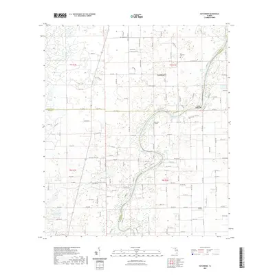
 - 2021 Map of Newberry SW, 2021 Print
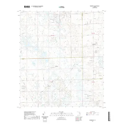 2021 Newberry SW2021 Print · USGSCovers Gilchrist County, including Newberry, Alachua County, and other nearby areas
 - 2021 Map of Wannee, 2021 Print
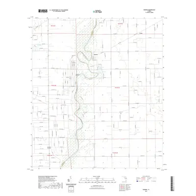 2021 Wannee2021 Print · USGSCovers Gilchrist County, including Blitchville, Curtis, and other nearby areas
 - 2021 Map of Branford, 2021 Print
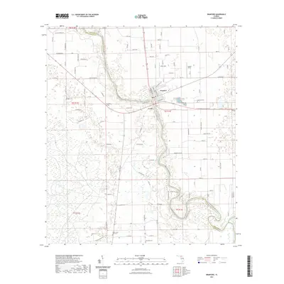 2021 Branford2021 Print · USGSCovers Gilchrist County, including Branford, Grady, and other nearby areas
 - 2021 Map of Fort White, 2021 Print
 2021 Fort White2021 Print · USGSCovers Gilchrist County, including Fort White, Columbia County, and other nearby areas
 - 2021 Map of Waters Lake, 2021 Print
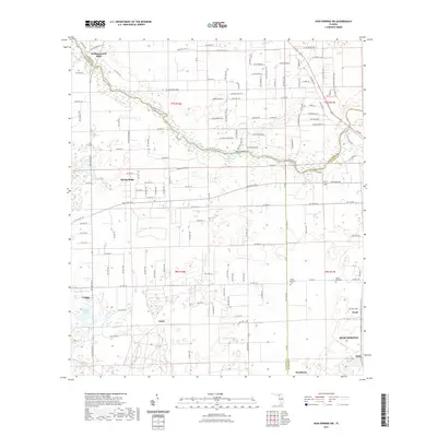
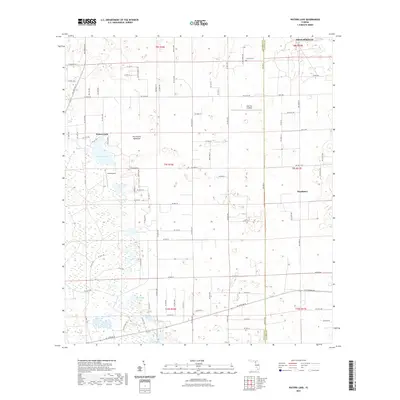 2021 Waters Lake2021 Print · USGSCovers Gilchrist County, including High Springs, Newberry, and other nearby areas
 - 2021 Map of Bell, 2021 Print
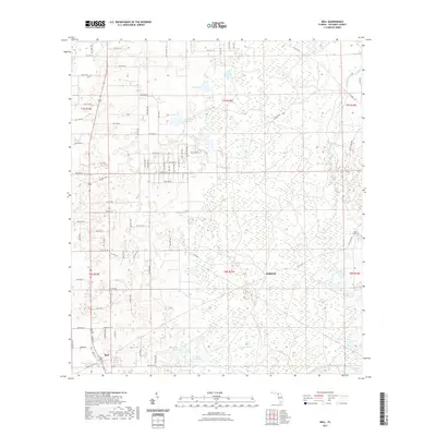 2021 Bell2021 Print · USGSCovers Gilchrist County, including Bell, Harvard, and other nearby areas
 - 2021 Map of Hildreth, 2021 Print
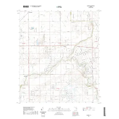 2021 Hildreth2021 Print · USGSCovers Gilchrist County, including Beachville, Sandy Point, and other nearby areas
 - 2021 Map of Fourmile Lake, 2021 Print
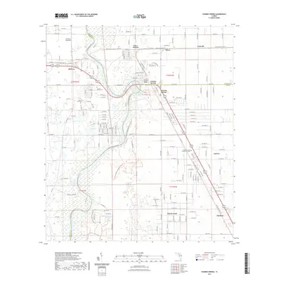
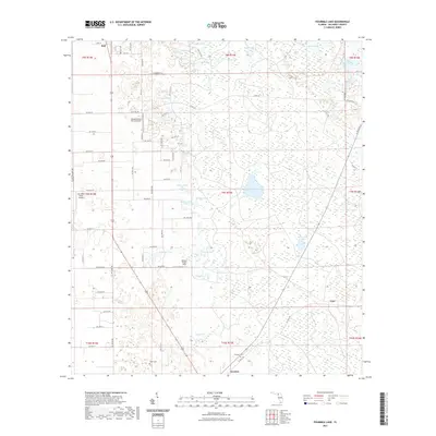 2021 Fourmile Lake2021 Print · USGSCovers Gilchrist County, including Trenton, Bell, and other nearby areas
 - 2021 Map of Hatchbend, 2021 Print
 2021 Hatchbend2021 Print · USGSCovers Gilchrist County, including Little Lake City, Hatchbend, and other nearby areas
 - 2021 Map of High Springs SW, 2021 Print
 2021 High Springs SW2021 Print · USGSCovers Gilchrist County, including High Springs, Hollingsworth Bluff, and other nearby areas
 - 2021 Map of Fanning Springs, 2021 Print
 2021 Fanning Springs2021 Print · USGSCovers Gilchrist County, including Chiefland, Fanning Springs, and other nearby areas
 - 2024 Map of Fanning Springs, 2024 Print
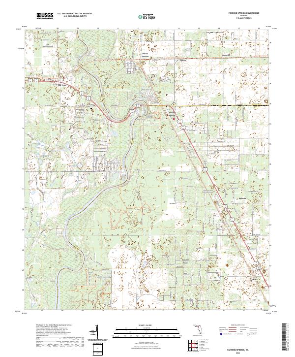 2024 Fanning Springs2024 Print · USGSThe Suwannee River corridor comes into sharp focus during the 2020s, showing the intersection of Dixie, Gilchrist, and Levy counties. Researchers can trace local history through the Old Town Memorial Cem or locate former rail-stops like Wilcox Junction and Lottieville.
 - 2024 Map of Branford, 2024 Print
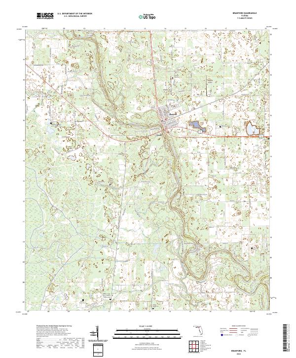 2024 Branford2024 Print · USGSThe Suwannee River valley near Branford is captured here in detail, showing a landscape of river bends and rural settlements. Researchers can trace family history through local landmarks like Hatch Bend Cem, Grady, and the Bethel Baptist Church Cem.
 - 2024 Map of Hatchbend, 2024 Print
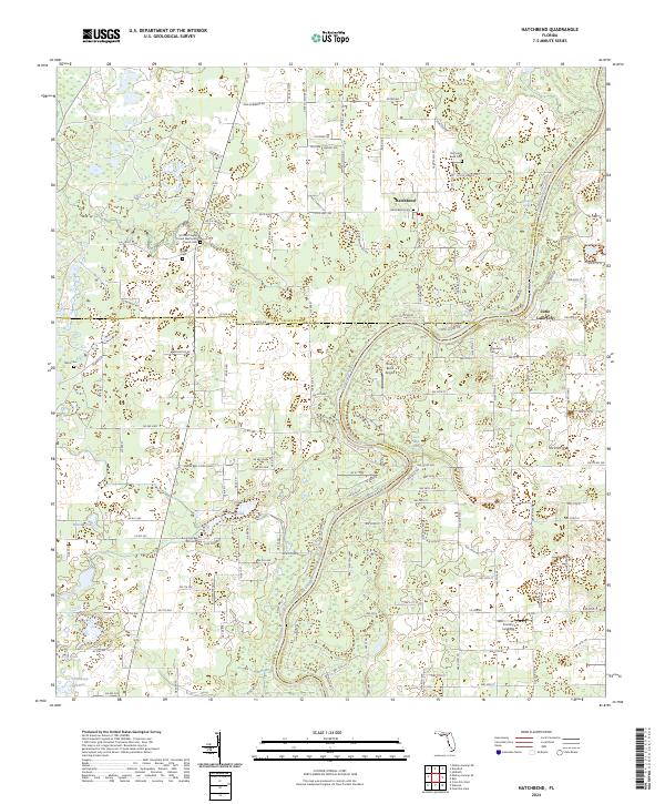 2024 Hatchbend2024 Print · USGSThe Suwannee River borderlands of Lafayette and Gilchrist counties are captured here in the contemporary era. Genealogists and local historians can locate numerous rural burial sites and springs, including Old Hatch Bend Cem, Townsend Cem, and Rock Bluff Spring.
 - 2024 Map of Newberry SW, 2024 Print
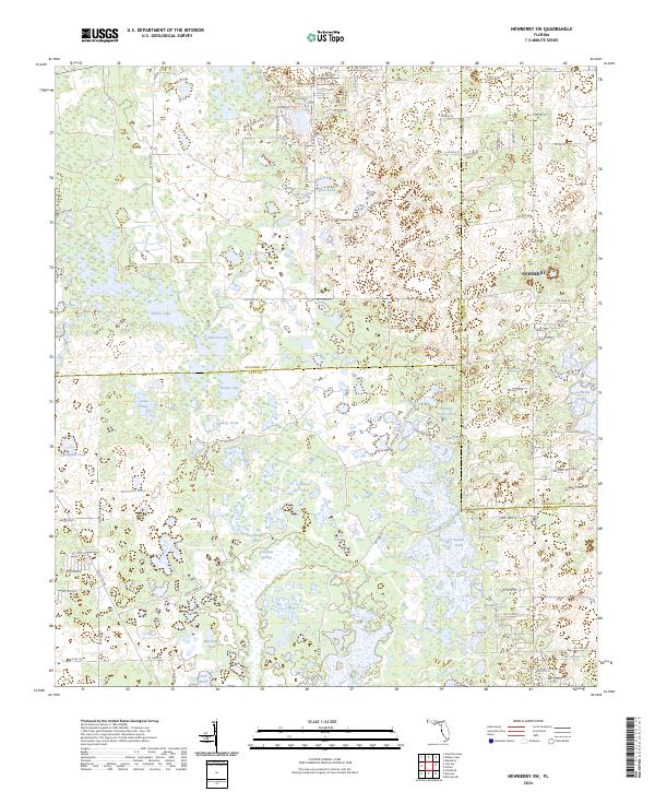 2024 Newberry SW2024 Print · USGSThe rural borderlands where Levy, Gilchrist, and Alachua counties meet are mapped here in the modern era. Genealogists and environmental researchers can trace the headwaters of the Waccasassa River and locate family landmarks like Billups Pond, Sawgrass Springs, and Shirley Lake.
 - 2024 Map of Trenton, 2024 Print
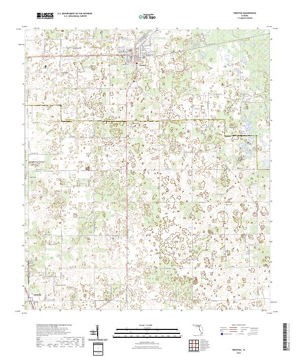 2024 Trenton2024 Print · USGSGilchrist County at the current moment shows the steady development of Trenton around the Gilchrist County Courthouse. Researchers can locate several private landing strips and rural burial grounds such as Pine Grove Cem and Shady Grove Cem.
 - 2024 Map of Hildreth, 2024 Print
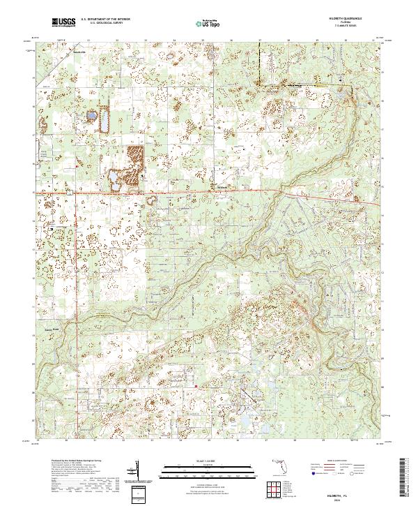 2024 Hildreth2024 Print · USGSSuwannee and Columbia counties are captured here in the 2020s, a landscape defined by the convergence of the Santa Fe and Ichetucknee rivers. Genealogists can trace local roots at Hunts Cem and Santa Fe Cem near the historic crossroads of Hildreth.
 - 2024 Map of Wannee, 2024 Print
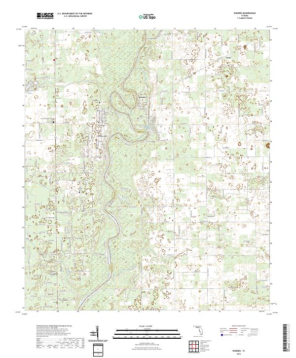 2024 Wannee2024 Print · USGSFlorida's Suwannee River valley is documented here in the early twenty-first century, showing the rural landscape of Gilchrist and Dixie counties. Genealogists and historians can locate several local burial grounds and landmarks like Wannee, the McCrabb Baptist Church, and Hart Springs.
 - 2024 Map of Bell, 2024 Print
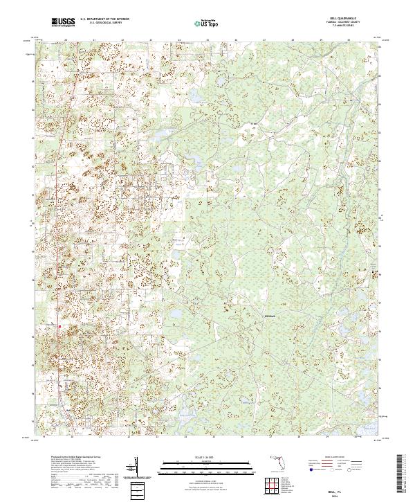 2024 Bell2024 Print · USGSFlorida's Gilchrist County interior is documented here in the early 2020s, showing a transition from the town of Bell to the wetlands of the east. Researchers can trace the rural landscape through family-named landmarks like Smiths Prairie and the Mount Horeb Cem.
 - 2024 Map of Fourmile Lake, 2024 Print
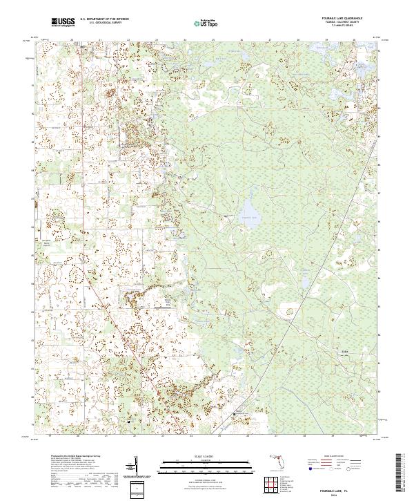 2024 Fourmile Lake2024 Print · USGSGilchrist County is shown in the modern era as a landscape of rural settlements and extensive wetland flats. Researchers can trace family roots at Trenton Community Cem and explore the geography of Waccasassa Flats and Fourmile Lake.
 - 2024 Map of Waters Lake, 2024 Print
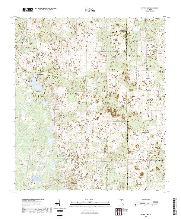 2024 Waters Lake2024 Print · USGSFlorida's wetlands and rural timberlands come into focus in this contemporary survey of the Gilchrist and Alachua county line. Researchers can locate isolated landmarks like Osceola Cem, Oak Tree Landing, and various family-named features including Knighting Lake.
 - 2024 Map of High Springs SW, 2024 Print
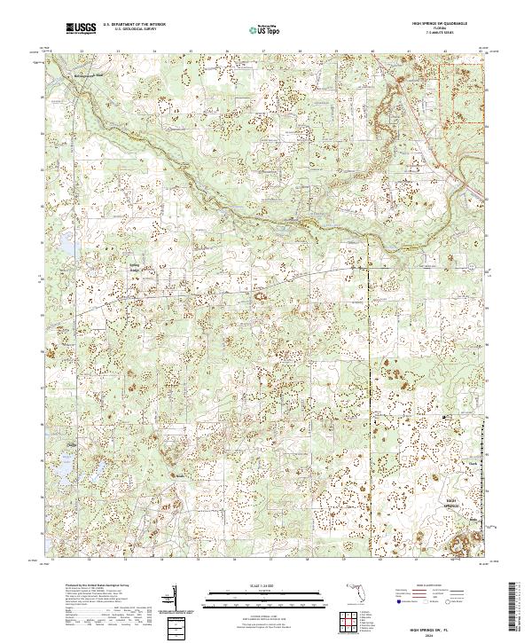 2024 High Springs SW2024 Print · USGSThe Santa Fe River basin in Gilchrist and Alachua counties is shown here during a period of modern rural development. Local historians can trace family ties at Mount Pleasant Cem and locate numerous river-side landmarks like Ginnie Spring and Rum Island.
 - 2024 Map of Fort White, 2024 Print
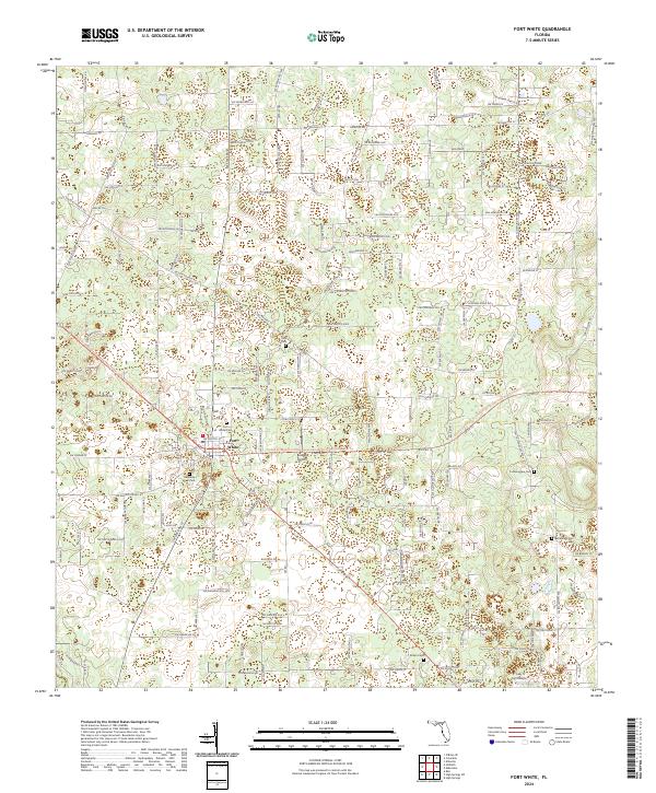 2024 Fort White2024 Print · USGSFlorida's rural interior comes into focus in the town of Fort White, showing a landscape defined by century-old road networks and family homesteads. Genealogists and historians can trace numerous burial sites such as Tustenuggee Cem and Shiloh Cem alongside landmarks like Bradley Airport.
End of results
Showing maps 1-24 of 24
Top cities of Gilchrist County
Frequently asked questions
- What are the different types of historical maps available for Gilchrist County?
- What is the oldest map of Gilchrist County?
- Where can I purchase historical maps of Gilchrist County for my home or office?
- Where can I download high-res historical maps of Gilchrist County?
- Are there historical topographic maps available for Gilchrist County?
- Is there historical aerial imagery available for Gilchrist County?
- Where are historical maps of Gilchrist County sourced from?