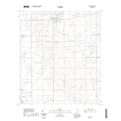
2021 Map of Trenton
USGS Topo · Published 2021About this map
The Gilchrist County Courthouse stands as the central landmark of Trenton, overlooking a grid of streets such as W Wade St and SE State Rd 26. This interior Florida landscape is defined by its transition between Levy and Gilchrist counties, where the land is dotted with numerous small depressions and sinkholes characteristic of the regional karst topography. Agriculture and aviation are prominent features of the local economy, evidenced by a high density of private runways and landing strips including Windy Acres Airport, Ames Field, Neal Field, and the Brookins Air Strip.
Find a feature on this map
64 named features on this map. Tap any name to fly to it.
Don’t see what you’re looking for? This feature index may not catch every label — zoom into the map to look around manually.
Map Details
Editions of this 2021 Trenton Map
This is the sole edition of this map. No revisions or reprints were ever made.
Other maps of this area

1954 · Chiefland
USGS Topo · 1:24,000

1954 · Bronson
USGS Topo · 1:24,000

1954 · Manatee Springs
USGS Topo · 1:24,000

1954 · Gainesville
USGS Topo · 1:250,000

1958 · Gainesville
USGS Topo · 1:250,000

1959 · Gainesville
USGS Topo · 1:250,000

1968 · Newberry SW
USGS Topo · 1:24,000

1968 · Waters Lake
USGS Topo · 1:24,000

1968 · Fourmile Lake
USGS Topo · 1:24,000

1968 · Trenton
USGS Topo · 1:24,000