Old Maps of The Venus Project, Highlands County for Genealogy
Trace your family roots with 11 historic maps of The Venus Project. These high-res maps reveal old neighborhoods, homesites, landmarks, and streets — helping you uncover where your ancestors lived and how the area evolved over time.
- Explore historic neighborhoods: Identify where your relatives may have lived in the 1800s or 1900s.
- Compare maps over time: Trace the changes in streets, buildings, and landmarks for multi-generational research.
- Perfect for genealogy & ancestry research: Used by family historians and researchers to map out lineage and migration.
These maps are an incredible resource for exploring your personal connection to The Venus Project's past.
The Venus Project, Highlands County maps
(11)- 1956 Map of Fort Pierce, 1965 Print
 1956 Fort Pierce1965 Print · USGSCentral and coastal Florida appear here during a period of rapid post-war growth and industrial expansion. Researchers can trace the mid-century rail-to-highway transition along the Sunshine State Parkway or locate old settlements like Ankona, Walton, and Indrio.4 unique versions available
 - 1957 Map of Venus SW, 1958 Print
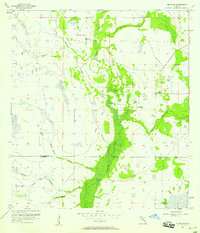 1957 Venus SW1958 Print · USGSThe Highlands and Glades county line in the mid-1950s reveals a landscape shaped by water and early transportation efforts. Trace the remnants of an Old Railroad Grade and locate features like Old Venus and the crossing at Robins Bridge.3 unique versions available
 - 1958 Map of Fort Pierce
 1958 Fort Pierce1958 Print · USGSCentral and South Florida are captured here in the late fifties as the citrus and ranching interior met the modern highway era. Researchers can trace the early path of the Sunshine State Parkway and locate established rail depots in Sebring, Okeechobee, and Arcadia.
 - 1959 Map of Fort Pierce
 1959 Fort Pierce1959 Print · USGSCentral Florida and the Treasure Coast are shown here in the late fifties, during a period of steady citrus and coastal growth. Trace the historic routes of the Florida East Coast Ry or locate the boundaries of the Seminole Indian Reservation and Highlands Hammock State Park.3 unique versions available
 - 1978 Map of Arcadia, 1980 Print
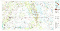 1978 Arcadia1980 Print · USGSDeSoto and Highlands counties are shown here in the late seventies, a landscape defined by the Peace River and extensive citrus groves. Genealogists and researchers can trace the SEABOARD COAST LINE railroad through old settlements like Nocatee, Zolfo Springs, and Fort Ogden.
 - 1988 Map of Fort Pierce
 1988 Fort Pierce1988 Print · USGSThe Atlantic coast and Florida’s interior lakelands are captured in the late eighties, just as the Treasure Coast was experiencing rapid development. Genealogists and historians can trace the rail lines of the Florida East Coast and explore the bounds of the Brighton Indian Reservation.
 - 2012 Map of Venus SW, 2012 Print
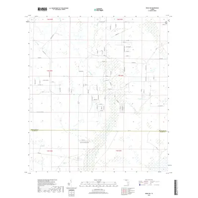
 2012 Venus SW2012 Print · USGSCovers The Venus Project, including Highlands County, Glades County, and other nearby areas
 - 2015 Map of Venus SW, 2015 Print
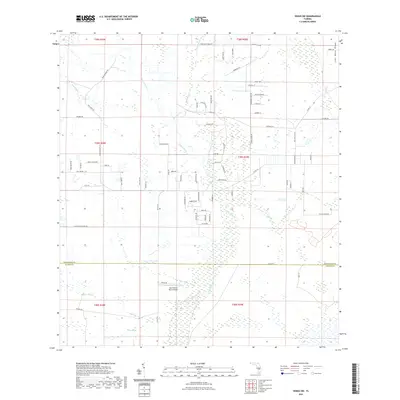
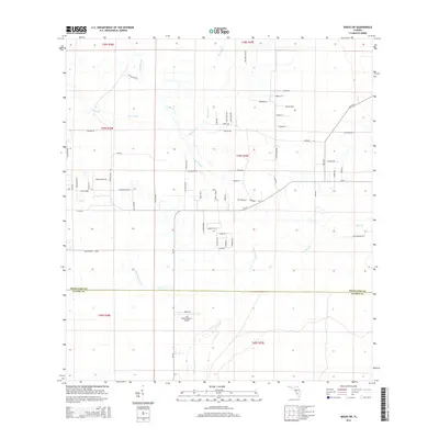 2015 Venus SW2015 Print · USGSCovers The Venus Project, including Highlands County, Glades County, and other nearby areas
 - 2018 Map of Venus SW, 2018 Print
 2018 Venus SW2018 Print · USGSCovers The Venus Project, including Highlands County, Glades County, and other nearby areas
 - 2021 Map of Venus SW, 2021 Print
 2021 Venus SW2021 Print · USGSCovers The Venus Project, including Highlands County, Glades County, and other nearby areas
 - 2024 Map of Venus SW, 2024 Print
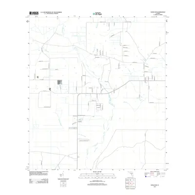
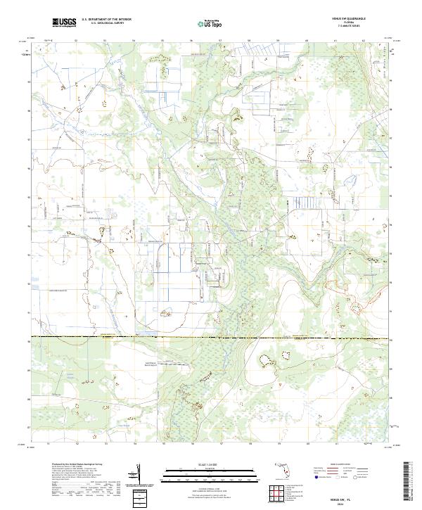 2024 Venus SW2024 Print · USGSIn the modern interior of Florida, this recent survey tracks the intricate wetlands and ranching landscapes where Highlands and Glades counties meet. Researchers can trace the winding paths of Fisheating Creek and Gannet Slough or locate the Last Chance Ranch Airport.
End of results
Showing maps 1-11 of 11
Frequently asked questions
- What are the different types of historical maps available for The Venus Project?
- What is the oldest map of The Venus Project?
- Where can I purchase historical maps of The Venus Project for my home or office?
- Where can I download high-res historical maps of The Venus Project?
- Are there historical topographic maps available for The Venus Project?
- Is there historical aerial imagery available for The Venus Project?
- Where are historical maps of The Venus Project sourced from?