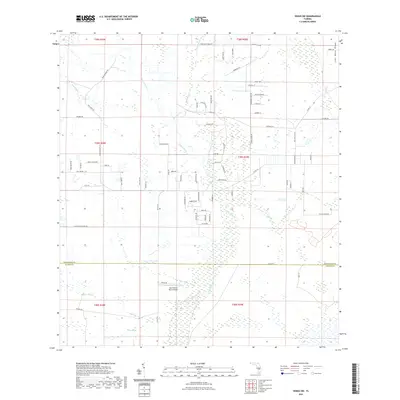
2021 Map of Venus SW
USGS Topo · Published 2021About this map
Fisheating Cr and its network of tributaries, including Bootheel Creek and Platt Br, dominate the low-lying terrain of this Florida interior. The landscape is characterized by a complex drainage system of sloughs such as John Henry Slough, Gannet Slough, and Joe Slough, reflecting the natural hydrology south of the Lake Wales Ridge. While much of the area remains open and undeveloped, small residential pockets like Melissa Manor and clustered farm roads such as Placid Farms Dr indicate localized settlement patterns.
Find a feature on this map
78 named features on this map. Tap any name to fly to it.
Don’t see what you’re looking for? This feature index may not catch every label — zoom into the map to look around manually.
Map Details
Editions of this 2021 Venus SW Map
This is the sole edition of this map. No revisions or reprints were ever made.
Other maps of this area

1953 · Venus NW
USGS Topo · 1:24,000

1953 · Childs
USGS Topo · 1:24,000

1956 · Telegraph Swamp NE
USGS Topo · 1:24,000

1956 · West Palm Beach
USGS Topo · 1:250,000

1956 · Fort Pierce
USGS Topo · 1:250,000

1957 · West Palm Beach
USGS Topo · 1:250,000

1957 · Long Island Marsh SE
USGS Topo · 1:24,000

1957 · Venus
USGS Topo · 1:24,000

1957 · Venus SW
USGS Topo · 1:24,000

1957 · Long Island Marsh NE
USGS Topo · 1:24,000