
1957 Map of Venus SW
USGS Topo · Published 1958About this map
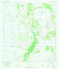
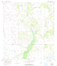
Fisheating Creek and its many tributary sloughs dominate this 1950s landscape along the border of Highlands and Glades Counties. The terrain is characterized by a complex network of seasonal watercourses and wetlands, including Joe Slough, Gannet Slough, and John Henry Slough. These natural drainages define the low-lying character of the region, where early infrastructure struggled against the subtropical environment. Evidence of former industrial activity is visible in the Old Railroad Grade that cuts across the southern portion of the sheet. The small settlement of Old Venus stands as a focal point of habitation near the eastern edge, while Robins Bridge provides a critical crossing over the northern reaches of the main creek. This survey provides a clear look at the hydraulic patterns and sparse settlement of the Florida interior before more intensive modern development and drainage projects altered the local hydrology.
Find a feature on this map
11 named features on this map. Tap any name to fly to it.
Don’t see what you’re looking for? This feature index may not catch every label — zoom into the map to look around manually.
Map Details
Editions of this 1957 Venus SW Map
3 editions found
Other maps of this area

1953 · Venus NW
USGS Topo · 1:24,000

1953 · Childs
USGS Topo · 1:24,000

1956 · Telegraph Swamp NE
USGS Topo · 1:24,000

1956 · West Palm Beach
USGS Topo · 1:250,000

1956 · Fort Pierce
USGS Topo · 1:250,000

1957 · West Palm Beach
USGS Topo · 1:250,000

1957 · Long Island Marsh SE
USGS Topo · 1:24,000

1957 · Venus
USGS Topo · 1:24,000

1957 · Long Island Marsh NE
USGS Topo · 1:24,000

1958 · Fort Pierce
USGS Topo · 1:250,000