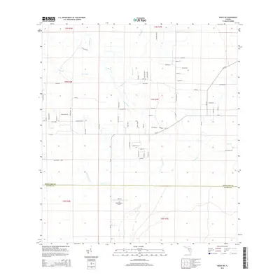
2015 Map of Venus SW
USGS Topo · Published 2015About this map
The boundary between Highlands Co and Glades Co cuts across this section of southern Florida, where the natural drainage of the Everglades ecosystem remains visible in the winding courses of Fisheating Cr and John Henry Slough. In the mid-2010s, this landscape is a patchwork of rural holdings and large-scale agricultural operations, evidenced by labels like Placid Farms Dr and Ranch Rd. The presence of the Last Chance Ranch Airport in the southern portion suggests the necessity of private aviation for managing these expansive inland properties.
Find a feature on this map
77 named features on this map. Tap any name to fly to it.
Don’t see what you’re looking for? This feature index may not catch every label — zoom into the map to look around manually.
Map Details
Editions of this 2015 Venus SW Map
This is the sole edition of this map. No revisions or reprints were ever made.
Other maps of this area

1953 · Venus NW
USGS Topo · 1:24,000

1953 · Childs
USGS Topo · 1:24,000

1956 · Telegraph Swamp NE
USGS Topo · 1:24,000

1956 · West Palm Beach
USGS Topo · 1:250,000

1956 · Fort Pierce
USGS Topo · 1:250,000

1957 · West Palm Beach
USGS Topo · 1:250,000

1957 · Long Island Marsh SE
USGS Topo · 1:24,000

1957 · Venus
USGS Topo · 1:24,000

1957 · Venus SW
USGS Topo · 1:24,000

1957 · Long Island Marsh NE
USGS Topo · 1:24,000