2000s (21st Century) Maps of Trout Creek Commons, Tampa
Explore 5 historic maps of Trout Creek Commons from the 2000s (21st Century). These maps offer a rare glimpse into what life looked like during the 2000s — showing old roads, neighborhoods, homes, and landmarks that have changed or disappeared over time.
Whether you're researching your family's past, planning a metal detecting trip, or studying how Trout Creek Commons's landscape evolved across the 2000s, these high-resolution maps are a powerful tool for exploring the history of this region.
- Focus on a specific era: All maps on this page are from the 2000s, giving you a focused view of this time period.
- See what’s changed: Compare century-old streets, trails, and buildings to today's modern landscape using overlays and satellite layers.
- Research with precision: Use these maps for genealogy, historical research, land use analysis, or educational projects.
- View, download, or print: Maps are fully viewable online in high resolution, and can be downloaded or printed for your own records.
Start exploring Trout Creek Commons's history through authentic maps from the 2000s. This is your window into the past.
Trout Creek Commons, Tampa maps
(5)- 2012 Map of Wesley Chapel, 2012 Print
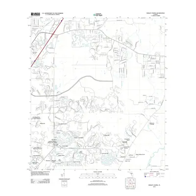 2012 Wesley Chapel2012 Print · USGSCovers Trout Creek Commons, including Tampa, Pebble Creek, and other nearby areas
 - 2015 Map of Wesley Chapel, 2015 Print
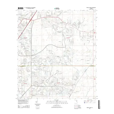 2015 Wesley Chapel2015 Print · USGSCovers Trout Creek Commons, including Tampa, Pebble Creek, and other nearby areas
 - 2018 Map of Wesley Chapel, 2018 Print
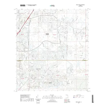 2018 Wesley Chapel2018 Print · USGSCovers Trout Creek Commons, including Tampa, Pebble Creek, and other nearby areas
 - 2021 Map of Wesley Chapel, 2021 Print
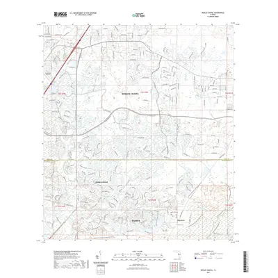 2021 Wesley Chapel2021 Print · USGSCovers Trout Creek Commons, including Tampa, Pebble Creek, and other nearby areas
 - 2024 Map of Wesley Chapel, 2024 Print
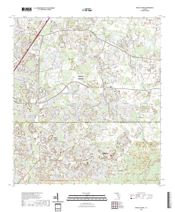 2024 Wesley Chapel2024 Print · USGSThe northern edge of the Tampa metropolitan area is captured here during its modern phase of development and suburban growth. Researchers can trace the waterways of the Hillsborough River and New River alongside major thoroughfares like Bruce B Downs Blvd and the community of Wesley Chapel.
End of results
Showing maps 1-5 of 5
Top cities near Trout Creek Commons
- Tampa historical maps
- Brandon historical maps
- Temple Terrace historical maps
- Lutz historical maps
- Zephyrhills historical maps
- Dade City historical maps
See more
Frequently asked questions
- What are the different types of historical maps available for Trout Creek Commons?
- What is the oldest map of Trout Creek Commons?
- Where can I purchase historical maps of Trout Creek Commons for my home or office?
- Where can I download high-res historical maps of Trout Creek Commons?
- Are there historical topographic maps available for Trout Creek Commons?
- Is there historical aerial imagery available for Trout Creek Commons?
- Where are historical maps of Trout Creek Commons sourced from?