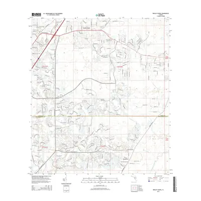
2015 Map of Wesley Chapel
USGS Topo · Published 2015About this map
Wesley Chapel serves as the focal point for this 2015 survey, illustrating the significant residential and infrastructure development occurring north of Tampa. The landscape is defined by a dense network of suburban corridors including Bruce B Downs Blvd and Cross Creek Blvd, which overlay the natural hydrology of the Hillsborough River and Trout Creek. This period captures the transition of the region from rural lands into a primary bedroom community, shown by the extensive residential looping roads like Wesley Chapel Loop and Pointe Pleasant Blvd.
Find a feature on this map
32 named features on this map. Tap any name to fly to it.
Don’t see what you’re looking for? This feature index may not catch every label — zoom into the map to look around manually.
Map Details
Editions of this 2015 Wesley Chapel Map
This is the sole edition of this map. No revisions or reprints were ever made.
Other maps of this area

1943 · Thonotosassa
USGS Topo · 1:24,000

1943 · Lutz
USGS Topo · 1:24,000

1944 · Sulphur Springs
USGS Topo · 1:31,680

1944 · Wesley Chapel
USGS Topo · 1:31,680

1944 · Lutz
USGS Topo · 1:31,680

1944 · Thonotosassa
USGS Topo · 1:31,680

1944 · Antioch
USGS Topo · 1:31,680

1945 · Sulphur Springs
USGS Topo · 1:31,680

1947 · Zephyrhills
USGS Topo · 1:24,000
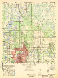
1949 · Sulphur Springs
USGS Topo · 1:25,000
Featured Places
- Tampa, FL
- Pebble Creek, FL
- Club Manor East of Grand Hampton, Tampa
- Trout Creek Commons, Tampa
- Branchton, FL