Old Maps of Royals Crossroads, Florida for Academic Research
Study the evolution of Royals Crossroads with 13 high-resolution historic maps. Whether you're teaching, researching, or modeling changes in land use, these maps provide essential visual documentation of urban, environmental, and geographic change.
- Analyze long-term change: Track patterns in development, transportation, and natural features.
- Ideal for environmental or urban studies: Support academic projects with primary historical map data.
- Use in the classroom or lab: Educators and researchers rely on these maps to bring historical context to life.
These maps are a powerful tool for teaching, research, and visualizing how Royals Crossroads has changed over the decades.
Royals Crossroads, FL maps
(13)- 1949 Map of Hobbs Crossroads, 1973 Print
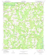 1949 Hobbs Crossroads1973 Print · USGSThe Alabama-Florida state line meets in the late 1940s near rural hubs and bayous. Researchers can trace family sites like McDuffie Cem and find old gathering places like Barker Store or the Poplar Head Ch.
 - 1950 Map of Hobbs Cross Roads
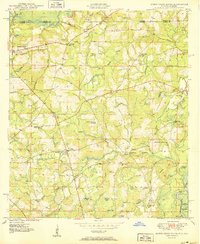 1950 Hobbs Cross Roads1950 Print · USGSThe Florida-Alabama state line at mid-century was a region of river landings and remote crossroad communities. Genealogists can trace family footprints through sites like McDuffie Cem, Beulah Anna Ch, and the old river access at Old Warehouse Landing.2 unique versions available
 - 1954 Map of Tallahassee, 1967 Print
 1954 Tallahassee1967 Print · USGSThe Florida Panhandle and South Georgia are captured here during a period of mid-century growth and military expansion. Researchers can trace the development of Panama City, the footprint of Tyndall Air Force Base, and the rail lines of the Atlantic Coast Line.4 unique versions available
 - 1959 Map of Tallahassee
 1959 Tallahassee1959 Print · USGSFlorida's Panhandle and the Big Bend region appear here in the mid-fifties, showing a landscape defined by its great river systems and developing coast. Trace the early layout of Panama City, the expansive Apalachicola National Forest, and the coastal St Marks Lighthouse.
 - 1960 Map of Tallahassee
 1960 Tallahassee1960 Print · USGSThe Florida Panhandle and southern Georgia are captured here in the mid-twentieth century, showing a region defined by its rivers and military installations. Genealogists and historians can trace the growth of Tallahassee or locate coastal landmarks like the St Marks Lighthouse and Tyndall Air Force Base.
 - 1979 Map of Marianna, 1980 Print
 1979 Marianna1980 Print · USGSFlorida's northern panhandle and the neighboring Alabama-Georgia borderlands are captured here in the late seventies. Genealogists and local historians can trace family roots through settlements like Graceville and Cottondale or follow the historic Louisville and Nashville rail lines.2 unique versions available
 - 1982 Map of Hobbs Crossroads
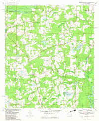 1982 Hobbs Crossroads1982 Print · USGSThe Florida-Alabama borderlands along the Pea River are captured here in the early eighties, showing a landscape of bay galls and rural settlements. Trace family roots at Sweet Gum Head Cemeteries or explore the river landings at Old Warehouse Landing.3 unique versions available
 - 1988 Map of Tallahassee
 1988 Tallahassee1988 Print · USGSThe Florida Panhandle and South Georgia are captured here in the late eighties, showing the expansion of the regional highway network and coastal growth. Genealogists and historians can trace rail lines like the Seaboard System Railroad or locate family roots in Blountstown, Graceville, or Crawfordville.2 unique versions available
 - 2012 Map of Hobbs Crossroads, 2012 Print
 2012 Hobbs Crossroads2012 Print · USGSCovers Royals Crossroads, including Hobbs Crossroads, Barker Store, and other nearby areas
 - 2015 Map of Hobbs Crossroads, 2015 Print
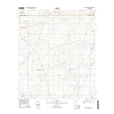 2015 Hobbs Crossroads2015 Print · USGSCovers Royals Crossroads, including Hobbs Crossroads, Barker Store, and other nearby areas
 - 2018 Map of Hobbs Crossroads, 2018 Print
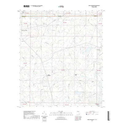 2018 Hobbs Crossroads2018 Print · USGSCovers Royals Crossroads, including Hobbs Crossroads, Barker Store, and other nearby areas
 - 2021 Map of Hobbs Crossroads, 2021 Print
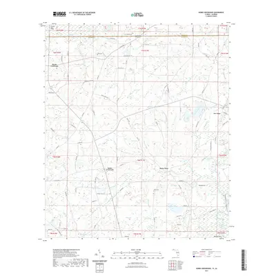 2021 Hobbs Crossroads2021 Print · USGSCovers Royals Crossroads, including Hobbs Crossroads, Barker Store, and other nearby areas
 - 2024 Map of Hobbs Crossroads, 2024 Print
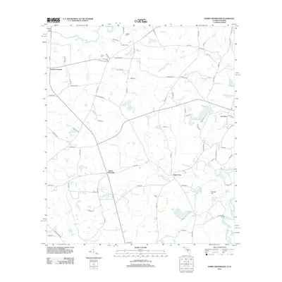
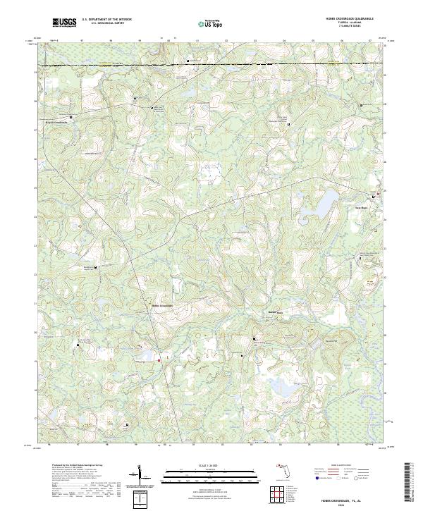 2024 Hobbs Crossroads2024 Print · USGSThe Florida-Alabama borderlands come into focus in the early 2020s as a region defined by river confluences and rural crossroads. Local historians can trace family roots through numerous cemetery sites like Merrill Cem and community centers such as Barker Store and Hobbs Crossroads.
End of results
Showing maps 1-13 of 13
Top cities near Royals Crossroads
- DeFuniak Springs historical maps
- Geneva historical maps
- Samson historical maps
- Kinston historical maps
- Eunola historical maps
- Caryville historical maps
See more
Frequently asked questions
- What are the different types of historical maps available for Royals Crossroads?
- What is the oldest map of Royals Crossroads?
- Where can I purchase historical maps of Royals Crossroads for my home or office?
- Where can I download high-res historical maps of Royals Crossroads?
- Are there historical topographic maps available for Royals Crossroads?
- Is there historical aerial imagery available for Royals Crossroads?
- Where are historical maps of Royals Crossroads sourced from?