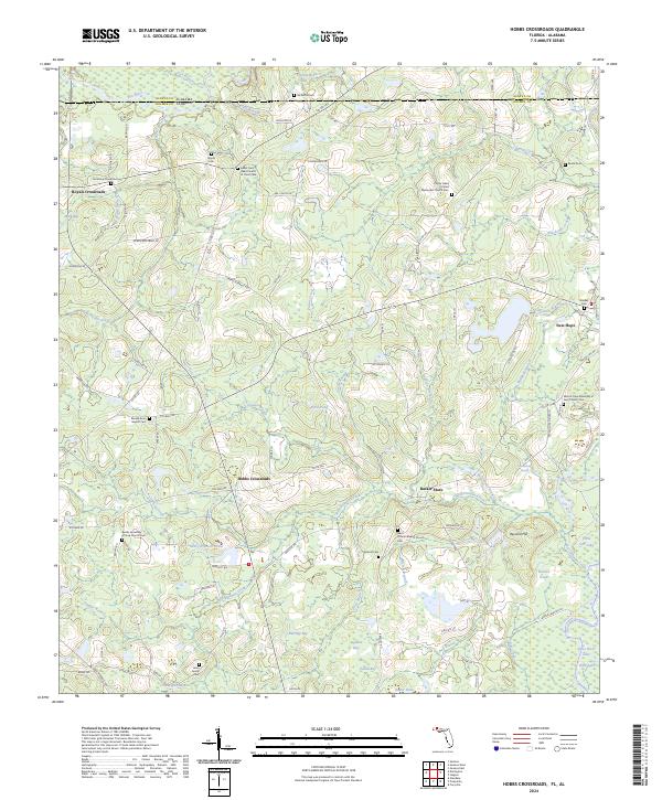
2024 Map of Hobbs Crossroads
USGS Topo · Published 2024About this map
Pea River and Choctawhatchee River converge along the state line in this Florida panhandle landscape, where Holmes County meets Alabama's Geneva County. The map reveals a dense network of country churches and community burial grounds, such as Sweet-Gum Head Church of Christ-Cem and Poplar Head United Methodist Church Cem, reflecting the deep-seated social geography of the region.
Find a feature on this map
120 named features on this map. Tap any name to fly to it.
Don’t see what you’re looking for? This feature index may not catch every label — zoom into the map to look around manually.
Map Details
Editions of this 2024 Hobbs Crossroads Map
This is the sole edition of this map. No revisions or reprints were ever made.
Other maps of this area

1942 · Enterprise
USGS Topo · 1:125,000

1949 · Glendale
USGS Topo · 1:62,500

1949 · Hobbs Crossroads
USGS Topo · 1:24,000

1949 · Caryville
USGS Topo · 1:24,000

1950 · Hobbs Cross Roads
USGS Topo · 1:24,000

1950 · Prosperity
USGS Topo · 1:24,000

1950 · Caryville
USGS Topo · 1:24,000

1950 · Izagora
USGS Topo · 1:24,000

1951 · Glendale
USGS Topo · 1:62,500

1953 · Andalusia
USGS Topo · 1:250,000