2000s (21st Century) Maps of Mascotte, Florida
Explore 20 historic maps of Mascotte from the 2000s (21st Century). These maps offer a rare glimpse into what life looked like during the 2000s — showing old roads, neighborhoods, homes, and landmarks that have changed or disappeared over time.
Whether you're researching your family's past, planning a metal detecting trip, or studying how Mascotte's landscape evolved across the 2000s, these high-resolution maps are a powerful tool for exploring the history of this region.
- Focus on a specific era: All maps on this page are from the 2000s, giving you a focused view of this time period.
- See what’s changed: Compare century-old streets, trails, and buildings to today's modern landscape using overlays and satellite layers.
- Research with precision: Use these maps for genealogy, historical research, land use analysis, or educational projects.
- View, download, or print: Maps are fully viewable online in high resolution, and can be downloaded or printed for your own records.
Start exploring Mascotte's history through authentic maps from the 2000s. This is your window into the past.
Mascotte, FL maps
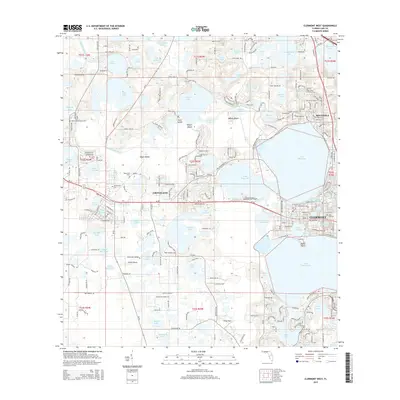
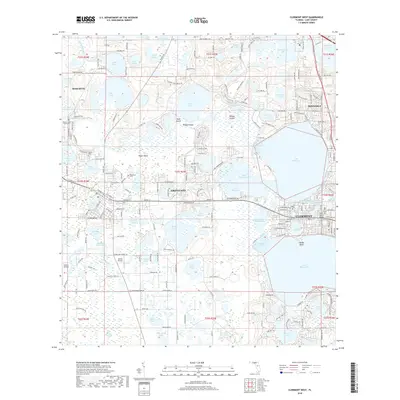
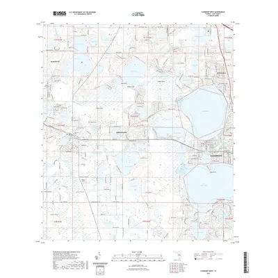
(20)- 2012 Map of Clermont West, 2012 Print
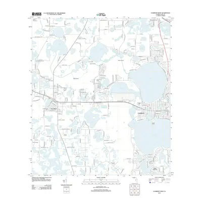 2012 Clermont West2012 Print · USGSCovers Mascotte, including Clermont, Groveland, and other nearby areas
 - 2012 Map of Mascotte, 2012 Print
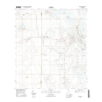
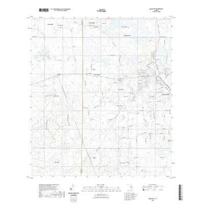
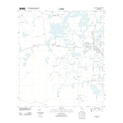 2012 Mascotte2012 Print · USGSCovers Mascotte, including Groveland, Center Hill, and other nearby areas
 - 2012 Map of Howey-in-the-Hills, 2012 Print
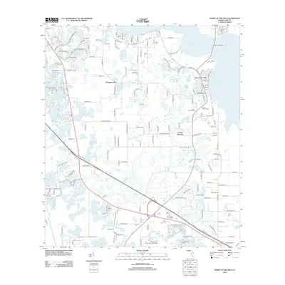 2012 Howey-in-the-Hills2012 Print · USGSCovers Mascotte, including Groveland, Astatula, and other nearby areas
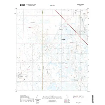
 - 2012 Map of Center Hill, 2012 Print
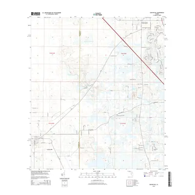
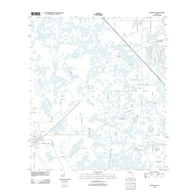 2012 Center Hill2012 Print · USGSCovers Mascotte, including Wildwood, Center Hill, and other nearby areas
 - 2015 Map of Mascotte, 2015 Print
 2015 Mascotte2015 Print · USGSCovers Mascotte, including Groveland, Center Hill, and other nearby areas
 - 2015 Map of Center Hill, 2015 Print
 2015 Center Hill2015 Print · USGSCovers Mascotte, including Wildwood, Center Hill, and other nearby areas
 - 2015 Map of Howey-in-the-Hills, 2015 Print
 2015 Howey-in-the-Hills2015 Print · USGSCovers Mascotte, including Groveland, Astatula, and other nearby areas
 - 2015 Map of Clermont West, 2015 Print
 2015 Clermont West2015 Print · USGSCovers Mascotte, including Clermont, Groveland, and other nearby areas
 - 2018 Map of Mascotte, 2018 Print
 2018 Mascotte2018 Print · USGSCovers Mascotte, including Groveland, Center Hill, and other nearby areas
 - 2018 Map of Clermont West, 2018 Print
 2018 Clermont West2018 Print · USGSCovers Mascotte, including Clermont, Groveland, and other nearby areas
 - 2018 Map of Center Hill, 2018 Print
 2018 Center Hill2018 Print · USGSCovers Mascotte, including Wildwood, Center Hill, and other nearby areas
 - 2018 Map of Howey-in-the-Hills, 2018 Print
 2018 Howey-in-the-Hills2018 Print · USGSCovers Mascotte, including Groveland, Astatula, and other nearby areas
 - 2021 Map of Mascotte, 2021 Print
 2021 Mascotte2021 Print · USGSCovers Mascotte, including Groveland, Center Hill, and other nearby areas
 - 2021 Map of Center Hill, 2021 Print
 2021 Center Hill2021 Print · USGSCovers Mascotte, including Wildwood, Center Hill, and other nearby areas
 - 2021 Map of Clermont West, 2021 Print
 2021 Clermont West2021 Print · USGSCovers Mascotte, including Clermont, Groveland, and other nearby areas
 - 2021 Map of Howey-in-the-Hills, 2021 Print
 2021 Howey-in-the-Hills2021 Print · USGSCovers Mascotte, including Groveland, Astatula, and other nearby areas
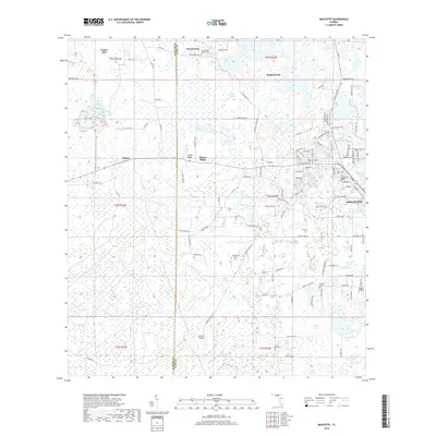
 - 2024 Map of Mascotte, 2024 Print
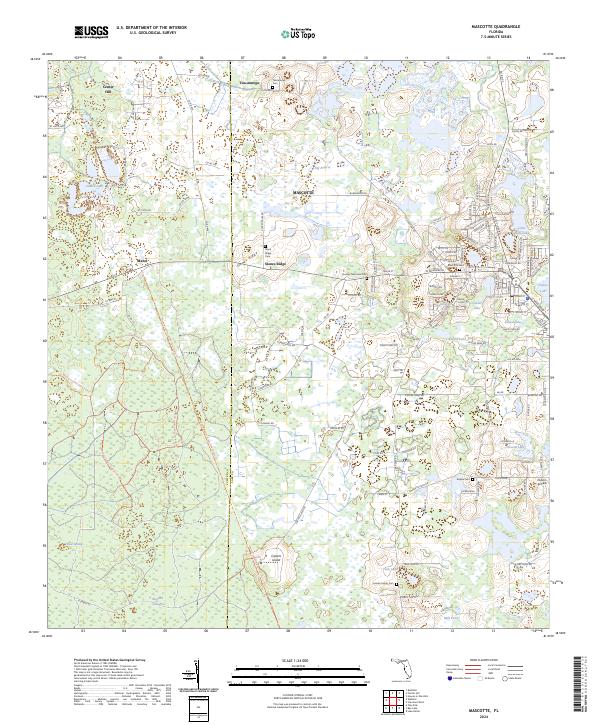 2024 Mascotte2024 Print · USGSThe Lake and Sumter County line comes alive in this study of the Mascotte area, showing a landscape defined by the General James A Van Fleet State Trl and rural ridges. Genealogists can locate several local burial sites, including Tuscannoga Cem, Mascotte Cem, and the Empire Cem.
 - 2024 Map of Center Hill, 2024 Print
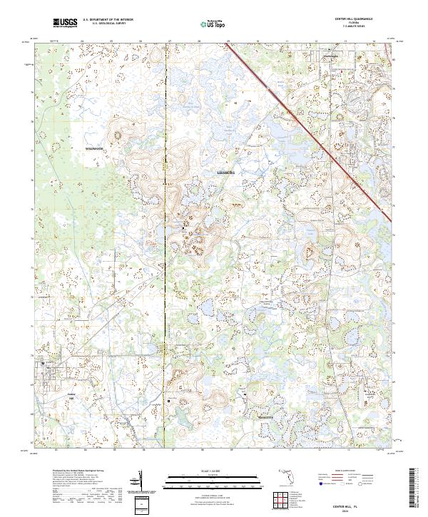 2024 Center Hill2024 Print · USGSThe Sumter and Lake County borderlands are shown here in the contemporary era, where rural wetlands meet growing residential developments. Genealogists and researchers can locate family sites at Cool Spring Cemetery or follow the waters of the Palatlakaha River and Baptising Pond.
 - 2024 Map of Clermont West, 2024 Print
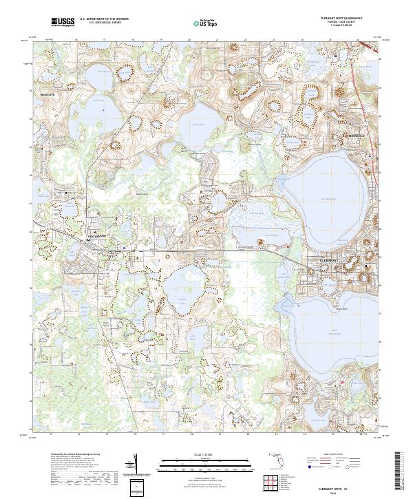 2024 Clermont West2024 Print · USGSThe Lake County citrus belt is shown here in detail, centering on the interconnected waters of Clermont and Groveland. Researchers can trace local lineage through Edgewood Cem and Oak Hill Cem or locate private aviation history at Osborn Airfield.
 - 2024 Map of Howey-in-the-Hills, 2024 Print
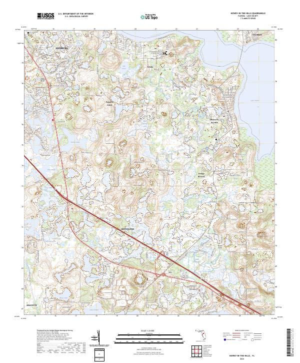 2024 Howey-in-the-Hills2024 Print · USGSLake County's waterfront communities and citrus groves are mapped here during a period of steady growth. Genealogists can locate family names at Yalaha Cem or Taylor Memorial Cem, while tracing the waters of Lake Harris and the Palatlakaha River.
End of results
Showing maps 1-20 of 20
Top cities near Mascotte
- The Villages historical maps
- Clermont historical maps
- Leesburg historical maps
- Tavares historical maps
- Groveland historical maps
- Wildwood historical maps
See more
Frequently asked questions
- What are the different types of historical maps available for Mascotte?
- What is the oldest map of Mascotte?
- Where can I purchase historical maps of Mascotte for my home or office?
- Where can I download high-res historical maps of Mascotte?
- Are there historical topographic maps available for Mascotte?
- Is there historical aerial imagery available for Mascotte?
- Where are historical maps of Mascotte sourced from?