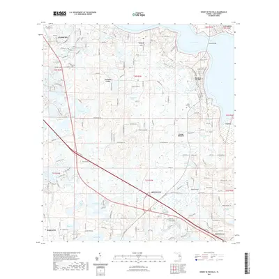
2021 Map of Howey-in-the-Hills
USGS Topo · Published 2021About this map
The Palatlakaha River and a dense network of freshwater lakes define this portion of Lake County, where small citrus-era settlements like Howie In The Hills and Orange Blossom sit among the groves and hills. The landscape is characterized by its high concentration of named water bodies, ranging from the expansive Lake Harris in the north to the smaller Lake Annabelle Reed, Lake Illinois, and the central Turkey Lake. For genealogists and local historians, several small burial grounds are documented, including the Allen Pierce Cem and Taylor Memorial Cem, as well as the Church of God by Faith Cem near Blue Springs. The transition from the established streets of Groveland and Mascotte to the unincorporated crossroads of Pumpkin Center illustrates the varied pace of development across the region in the early 21st century.
Find a feature on this map
171 named features on this map. Tap any name to fly to it.
Don’t see what you’re looking for? This feature index may not catch every label — zoom into the map to look around manually.
Map Details
Editions of this 2021 Howey-in-the-Hills Map
This is the sole edition of this map. No revisions or reprints were ever made.
Other maps of this area

1955 · Orlando
USGS Topo · 1:250,000

1957 · Orlando
USGS Topo · 1:250,000

1958 · Orlando
USGS Topo · 1:250,000

1962 · Orlando
USGS Topo · 1:250,000

1962 · Clermont East
USGS Topo · 1:24,000

1962 · Astatula
USGS Topo · 1:24,000

1965 · Leesburg East
USGS Topo · 1:24,000

1966 · Leesburg West
USGS Topo · 1:24,000
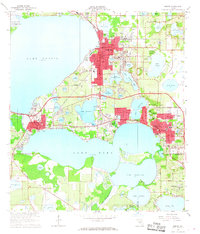
1966 · Eustis
USGS Topo · 1:24,000
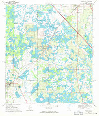
1969 · Center Hill
USGS Topo · 1:24,000