Old Maps of Fort Myers, Florida for Metal Detecting
Plan your next treasure hunt with 30 historic maps of Fort Myers. Find old homesites, ghost towns, trails, and gathering spots that may be lost to time — perfect for identifying promising metal detecting locations.
- Locate forgotten sites: Uncover places like long-lost settlements, abandoned rail lines, or gathering spots.
- Plan better hunts: Use map overlays combined with LiDAR or satellite views to narrow in on historically rich areas.
- Made for detectorists: Thousands of hobbyists use these maps to discover relics, coins, and hidden history.
Use these historic maps to boost your research and find new opportunities beneath the surface of Fort Myers.
Fort Myers, FL maps
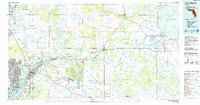
(30)- 1956 Map of West Palm Beach, 1964 Print
 1956 West Palm Beach1964 Print · USGSSouth Florida during the mid-fifties exhibits a fascinating balance between expanding coastal cities and the vast interior wetlands. Researchers can trace the development of inland settlements like Immokalee and Okeelanta or locate vanished landmarks like Chosen and Buckingham Cem.2 unique versions available
 - 1957 Map of West Palm Beach
 1957 West Palm Beach1957 Print · USGSSouthern Florida in the mid-fifties reveals a landscape defined by massive drainage canals and the early expansion of the Gold Coast. Genealogists and historians can trace industrial outposts like the Sugar plant and Everglades Labor Center, or locate the Jupiter Auxiliary Air Force Base.
 - 1958 Map of West Palm Beach
 1958 West Palm Beach1958 Print · USGSSouth Florida in the late fifties was a land of transition between massive agricultural works and rapid coastal growth. Genealogists and historians can trace old canal networks, early rail lines like the Florida East Coast, and landmarks like the Moore Haven Lock or Jupiter Auxiliary Air Force Base.2 unique versions available
 - 1958 Map of Fort Myers NW, 1959 Print
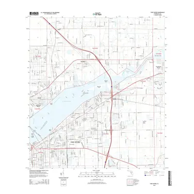
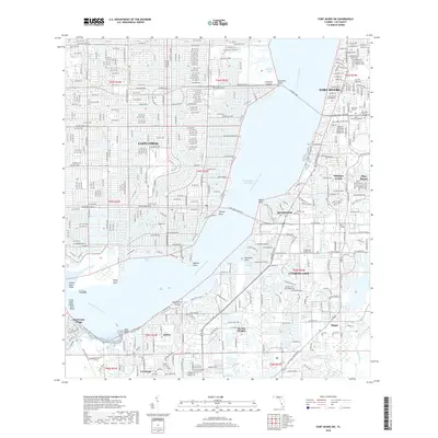
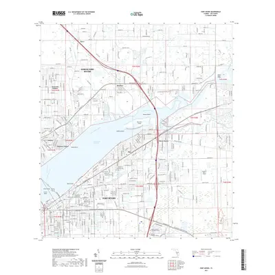
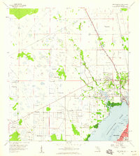 1958 Fort Myers NW1959 Print · USGSThe Caloosahatchee River waterfront and the emerging suburbs of North Fort Myers come alive in this late-fifties topographic record. Local historians can trace the foundations of the community through the English Sch, the State Prison Camp, and the Old Railroad Grade that once served the region.5 unique versions available
 - 1958 Map of Fort Myers SW, 1959 Print
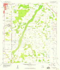
 1958 Fort Myers SW1959 Print · USGSThe Caloosahatchee River waterfront and Southwest Florida's early development are captured here in the late fifties. Genealogists and researchers can trace local landmarks like Orangewood Sch, Truckland, and the Iona Sch (Abandoned).6 unique versions available
 - 1958 Map of Fort Myers, 1959 Print
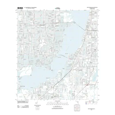
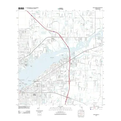
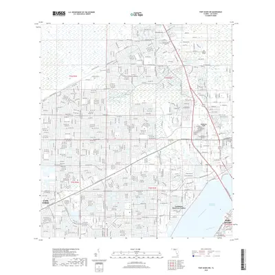
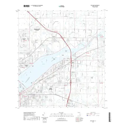
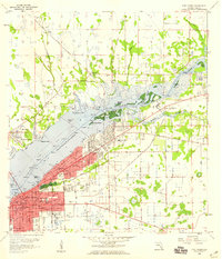 1958 Fort Myers1959 Print · USGSFort Myers and the banks of the Caloosahatchee River are captured here in the late fifties, showing a city expanding into its surrounding wetlands. Genealogists can locate family sites near Fort Myers Cemetery or trace the early paths of the Atlantic Coast Line railroad.5 unique versions available
 - 1958 Map of Fort Myers SE, 1959 Print
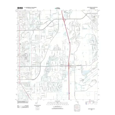
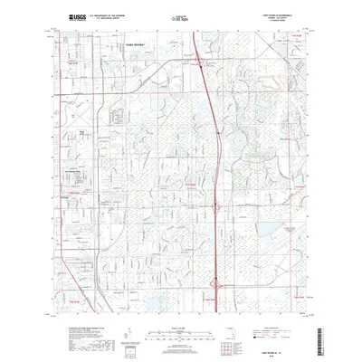
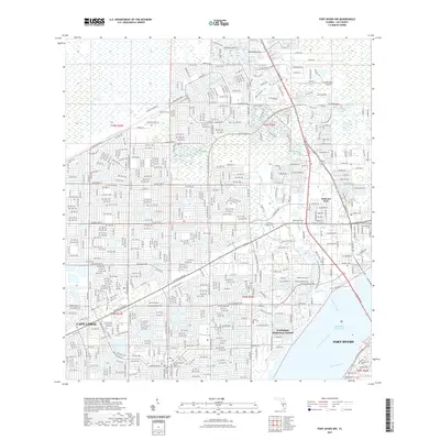
 1958 Fort Myers SE1959 Print · USGSFort Myers enters a period of post-war expansion in the late fifties as residential subdivisions begin to push into the wetlands. Genealogists and local historians can trace the development of Page Park and Fort Myers Villas near the Page Airport.5 unique versions available
 - 1981 Map of Fort Myers
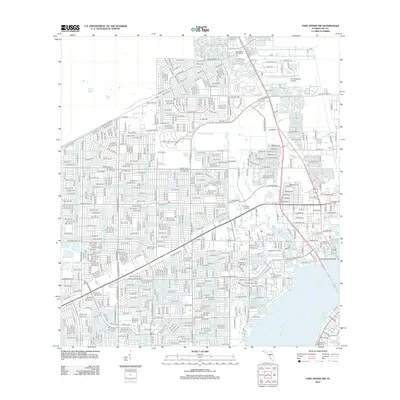
 1981 Fort Myers1981 Print · USGSSouthwest Florida experienced a transformative era of growth during the early eighties as coastal cities pushed inland toward the Everglades. Trace the expansion of Lehigh Acres and Cape Coral or locate rural landmarks like Palmdale and the Brighton Indian Reservation.
 - 1985 Map of Fort Myers, 1986 Print
 1985 Fort Myers1986 Print · USGSSouthwest Florida during the mid-eighties shows a region of transition, where the riverfront growth of Fort Myers meets the inland marshes of the Everglades. Genealogists and historians can trace suburban expansion in Lehigh Acres or locate the old canal-side hubs of La Belle and Moore Haven.
 - 1987 Map of West Palm Beach, 1988 Print
 1987 West Palm Beach1988 Print · USGSSouth Florida is captured in the mid-1980s, showcasing the intricate balance between rapid coastal growth and the vast interior wetlands. Researchers can trace the drainage canals of The Everglades or locate the boundaries of the Big Cypress Seminole Indian Reservation and Loxahatchee National Wildlife Refuge.2 unique versions available
 - 2012 Map of Fort Myers SW, 2012 Print
 2012 Fort Myers SW2012 Print · USGSCovers Fort Myers, including Cape Coral, McGregor Park, and other nearby areas
 - 2012 Map of Fort Myers SE, 2012 Print
 2012 Fort Myers SE2012 Print · USGSCovers Fort Myers, including Arborwood, Pine Manor, and other nearby areas
 - 2012 Map of Fort Myers NW, 2012 Print
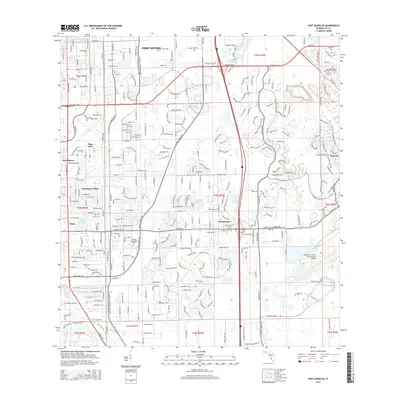
 2012 Fort Myers NW2012 Print · USGSCovers Fort Myers, including Cape Coral, North Fort Myers, and other nearby areas
 - 2012 Map of Fort Myers, 2012 Print
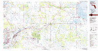
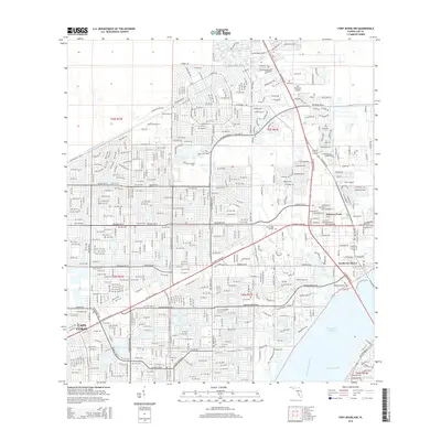
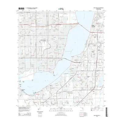
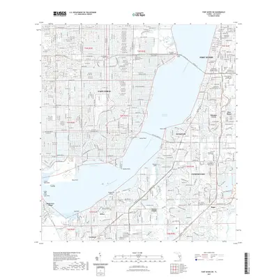
 2012 Fort Myers2012 Print · USGSCovers Fort Myers, including Fort Myers Shores, Bayshore Commons, and other nearby areas
 - 2015 Map of Fort Myers SE, 2015 Print
 2015 Fort Myers SE2015 Print · USGSCovers Fort Myers, including Arborwood, Pine Manor, and other nearby areas
 - 2015 Map of Fort Myers, 2015 Print
 2015 Fort Myers2015 Print · USGSCovers Fort Myers, including Fort Myers Shores, Bayshore Commons, and other nearby areas
 - 2015 Map of Fort Myers NW, 2015 Print
 2015 Fort Myers NW2015 Print · USGSCovers Fort Myers, including Cape Coral, North Fort Myers, and other nearby areas
 - 2015 Map of Fort Myers SW, 2015 Print
 2015 Fort Myers SW2015 Print · USGSCovers Fort Myers, including Cape Coral, McGregor Park, and other nearby areas
 - 2018 Map of Fort Myers NW, 2018 Print
 2018 Fort Myers NW2018 Print · USGSCovers Fort Myers, including Cape Coral, North Fort Myers, and other nearby areas
 - 2018 Map of Fort Myers SE, 2018 Print
 2018 Fort Myers SE2018 Print · USGSCovers Fort Myers, including Arborwood, Pine Manor, and other nearby areas
 - 2018 Map of Fort Myers SW, 2018 Print
 2018 Fort Myers SW2018 Print · USGSCovers Fort Myers, including Cape Coral, McGregor Park, and other nearby areas
 - 2018 Map of Fort Myers, 2018 Print
 2018 Fort Myers2018 Print · USGSCovers Fort Myers, including Fort Myers Shores, Bayshore Commons, and other nearby areas
 - 2021 Map of Fort Myers SW, 2021 Print
 2021 Fort Myers SW2021 Print · USGSCovers Fort Myers, including Cape Coral, McGregor Park, and other nearby areas
 - 2021 Map of Fort Myers, 2021 Print
 2021 Fort Myers2021 Print · USGSCovers Fort Myers, including Fort Myers Shores, Bayshore Commons, and other nearby areas
 - 2021 Map of Fort Myers NW, 2021 Print
 2021 Fort Myers NW2021 Print · USGSCovers Fort Myers, including Cape Coral, North Fort Myers, and other nearby areas
Showing maps 1-25 of 30
Top cities near Fort Myers
- Cape Coral historical maps
- Lehigh Acres historical maps
- North Fort Myers historical maps
- Punta Gorda historical maps
- Fort Myers Beach historical maps
- Sanibel historical maps
See more
Top neighborhoods of Fort Myers
- Old McGregor Estates historical maps
- The Forum historical maps
- Arborwood historical maps
- Downtown Fort Myers River District historical maps
- Lexington Palms at the Forum historical maps
- Majorca Palms Estates historical maps
See more
Frequently asked questions
- What are the different types of historical maps available for Fort Myers?
- What is the oldest map of Fort Myers?
- Where can I purchase historical maps of Fort Myers for my home or office?
- Where can I download high-res historical maps of Fort Myers?
- Are there historical topographic maps available for Fort Myers?
- Is there historical aerial imagery available for Fort Myers?
- Where are historical maps of Fort Myers sourced from?