2020s Maps of Eastgate, Tallahassee
Explore 4 historic maps of Eastgate from the 2020s. These maps offer a rare glimpse into what life looked like during the 2020s — showing old roads, neighborhoods, homes, and landmarks that have changed or disappeared over time.
Whether you're researching your family's past, planning a metal detecting trip, or studying how Eastgate's landscape evolved across the 2020s, these high-resolution maps are a powerful tool for exploring the history of this region.
- Focus on a specific era: All maps on this page are from the 2020s, giving you a focused view of this time period.
- See what’s changed: Compare century-old streets, trails, and buildings to today's modern landscape using overlays and satellite layers.
- Research with precision: Use these maps for genealogy, historical research, land use analysis, or educational projects.
- View, download, or print: Maps are fully viewable online in high resolution, and can be downloaded or printed for your own records.
Start exploring Eastgate's history through authentic maps from the 2020s. This is your window into the past.
Eastgate, Tallahassee maps
(4)- 2021 Map of Lafayette, 2021 Print
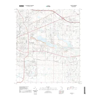 2021 Lafayette2021 Print · USGSCovers Eastgate, including Tallahassee, Perkins, and other nearby areas
 - 2021 Map of Bradfordville, 2021 Print
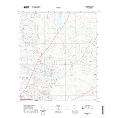 2021 Bradfordville2021 Print · USGSCovers Eastgate, including Tallahassee, Centerville, and other nearby areas
 - 2024 Map of Bradfordville, 2024 Print
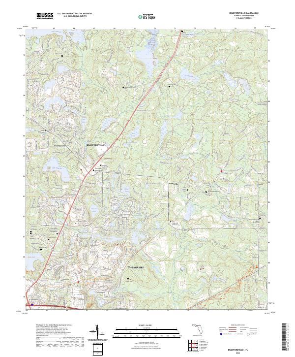 2024 Bradfordville2024 Print · USGSNorth of the Florida state capital in the early 21st century, this area balances modern growth with historic rural roots. Genealogists and historians can locate family-named grounds such as the Eppes Cem and Whitaker Family Cem or trace the lands around Lake McBride.
 - 2024 Map of Lafayette, 2024 Print
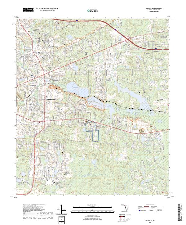 2024 Lafayette2024 Print · USGSLeon County, Florida, is documented here in its contemporary state, showing the blend of suburban expansion and significant heritage sites. Genealogists can locate several family and church burial grounds, such as the Southwood Plantation Cem and Pallbearers Lodge No 25 Cem.
End of results
Showing maps 1-4 of 4
Frequently asked questions
- What are the different types of historical maps available for Eastgate?
- What is the oldest map of Eastgate?
- Where can I purchase historical maps of Eastgate for my home or office?
- Where can I download high-res historical maps of Eastgate?
- Are there historical topographic maps available for Eastgate?
- Is there historical aerial imagery available for Eastgate?
- Where are historical maps of Eastgate sourced from?