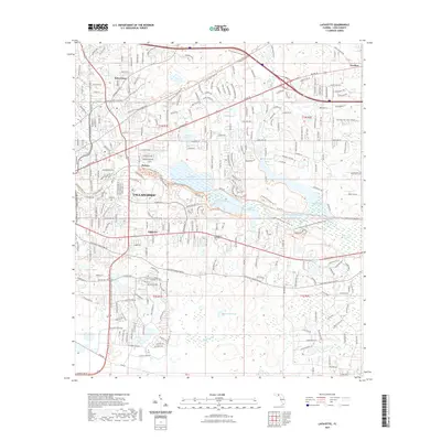
2021 Map of Lafayette
USGS Topo · Published 2021About this map
The eastern edges of Tallahassee meet the sprawling aquatic systems of Upper Lake Lafayette and Piney Z Lake in this modern survey. The map documents a landscape where urban development transitions into recreational and conservation lands, notably through the extensive network of the Lafayette Heritage Trl Park Trl and the Jr Alford Greenway Trl. For genealogists and local historians, several burial sites are clearly marked, including the Tallahassee National Cem, the Soda Field Cem, and the Old Saint Augustine Rd Cem. The area around the small settlements of Saint Peter, Perkins, and Lafayette is intersected by major transport arteries like Interstate 10 and US Hwy 90, illustrating the continued growth and connectivity of the Florida state capital's periphery.
Find a feature on this map
42 named features on this map. Tap any name to fly to it.
Don’t see what you’re looking for? This feature index may not catch every label — zoom into the map to look around manually.
Map Details
Editions of this 2021 Lafayette Map
This is the sole edition of this map. No revisions or reprints were ever made.
Other maps of this area

1940 · Tallahassee
USGS Topo · 1:62,500

1942 · Tallahassee
USGS Topo · 1:62,500

1943 · Tallahassee
USGS Topo · 1:62,500

1954 · Lloyd
USGS Topo · 1:24,000

1954 · Lafayette
USGS Topo · 1:24,000

1954 · Cody
USGS Topo · 1:24,000

1954 · Woodville
USGS Topo · 1:24,000

1954 · Tallahassee
USGS Topo · 1:250,000

1959 · Tallahassee
USGS Topo · 1:250,000

1960 · Tallahassee
USGS Topo · 1:250,000