Old Maps of Eastgate, Tallahassee for Hiking & Exploration
Hike through history with 22 historic maps of Eastgate. Explore old trails, ghost towns, and forgotten backroads — perfect for outdoor adventurers and local explorers.
- Rediscover forgotten places: Map out old mining camps, roads, and footpaths that no longer exist on modern maps.
- Layer with modern tools: Combine with LiDAR or satellite views to plan hikes through historical terrain.
- Made for exploration: Popular among hikers, overlanders, and local history lovers.
Use these maps to find adventure and explore the hidden past of Eastgate.
Eastgate, Tallahassee maps
(22)- 1954 Map of Lafayette, 1955 Print
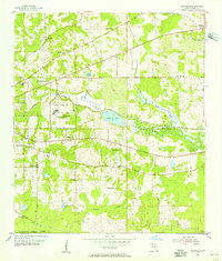 1954 Lafayette1955 Print · USGSLeon County at mid-century shows a landscape of institutional growth and established rural hamlets east of the capital. Researchers can trace the lineage of local congregations at Shady Grove Ch and New Zion Ch or locate the Ward Sch and Southfield Cem.3 unique versions available
 - 1954 Map of Tallahassee, 1967 Print
 1954 Tallahassee1967 Print · USGSThe Florida Panhandle and South Georgia are captured here during a period of mid-century growth and military expansion. Researchers can trace the development of Panama City, the footprint of Tyndall Air Force Base, and the rail lines of the Atlantic Coast Line.4 unique versions available
 - 1959 Map of Tallahassee
 1959 Tallahassee1959 Print · USGSFlorida's Panhandle and the Big Bend region appear here in the mid-fifties, showing a landscape defined by its great river systems and developing coast. Trace the early layout of Panama City, the expansive Apalachicola National Forest, and the coastal St Marks Lighthouse.
 - 1960 Map of Tallahassee
 1960 Tallahassee1960 Print · USGSThe Florida Panhandle and southern Georgia are captured here in the mid-twentieth century, showing a region defined by its rivers and military installations. Genealogists and historians can trace the growth of Tallahassee or locate coastal landmarks like the St Marks Lighthouse and Tyndall Air Force Base.
 - 1963 Map of Bradfordville, 1964 Print
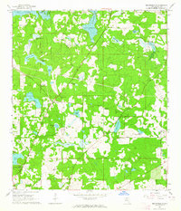 1963 Bradfordville1964 Print · USGSNorth of Tallahassee in the early sixties, this area shows a landscape of traditional communities and numerous named ponds. Genealogists and historians can locate family landmarks like the Bradford-Eppes Cem and long-standing congregations at Pisgah Ch or St Philips Ch.
 - 1978 Map of Bainbridge, 1980 Print
 1978 Bainbridge1980 Print · USGSIn the late seventies, this Georgia-Florida borderland was defined by the confluence of the Flint and Chattahoochee rivers. Trace the region's infrastructure via the Seaboard Coast Line Railroad and find sites like Bainbridge State Hospital.
 - 1979 Map of Tallahassee, 1980 Print
 1979 Tallahassee1980 Print · USGSFlorida's capital and the Gulf coast are captured here in the late seventies, showing the region's balance between urban growth and massive protected wetlands. Researchers can trace the routes of the Apalachicola Northern Railroad or locate small inland hubs like Sopchoppy, Panacea, and Hosford.
 - 1982 Map of Lafayette, 1983 Print
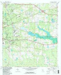 1982 Lafayette1983 Print · USGSEastern Leon County comes alive in the early eighties as the capital city meets the wetlands of Lake Lafayette. Genealogists and historians can trace local landmarks like St Peter Cem Ch, the Seminole Fish Hatchery, and the Federal Correctional Institution.2 unique versions available
 - 1982 Map of Bradfordville, 1983 Print
 1982 Bradfordville1983 Print · USGSNorth of Tallahassee in the early eighties, this area shows a transition from rural homesteads to modern suburban expansion. Genealogists and local historians can locate many family-named landmarks including Bradford-Eppes Cem, Lester Island, and the St Philips Cem.
 - 1988 Map of Tallahassee
 1988 Tallahassee1988 Print · USGSThe Florida Panhandle and South Georgia are captured here in the late eighties, showing the expansion of the regional highway network and coastal growth. Genealogists and historians can trace rail lines like the Seaboard System Railroad or locate family roots in Blountstown, Graceville, or Crawfordville.2 unique versions available
 - 1999 Map of Lafayette, 2003 Print
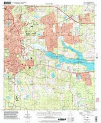 1999 Lafayette2003 Print · USGSTallahassee and its eastern suburbs are shown at the turn of the millennium as urban growth meets the sprawling wetlands of Lake Lafayette. Genealogists and local historians can trace the grounds of St Peter Cemetery, Lincoln High Sch, and the Federal Correctional Institution.
 - 1999 Map of Bradfordville, 2004 Print
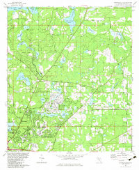
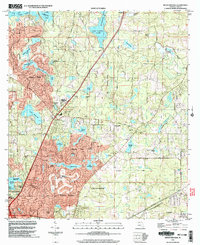 1999 Bradfordville2004 Print · USGSThe northern Tallahassee suburbs take shape in the late nineties as residential development meets historic Florida plantations. Genealogists and local historians can trace legacy sites like the Bradford-Eppes Cem, Pisgah Ch, and the original settlement at Bradfordville.
 - 2012 Map of Bradfordville, 2012 Print
 2012 Bradfordville2012 Print · USGSCovers Eastgate, including Tallahassee, Centerville, and other nearby areas
 - 2012 Map of Lafayette, 2012 Print
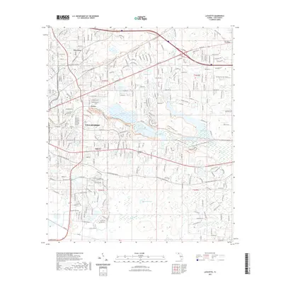
 2012 Lafayette2012 Print · USGSCovers Eastgate, including Tallahassee, Perkins, and other nearby areas
 - 2015 Map of Lafayette, 2015 Print
 2015 Lafayette2015 Print · USGSCovers Eastgate, including Tallahassee, Perkins, and other nearby areas
 - 2015 Map of Bradfordville, 2015 Print
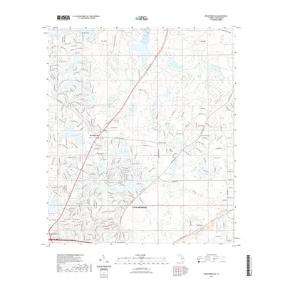
 2015 Bradfordville2015 Print · USGSCovers Eastgate, including Tallahassee, Centerville, and other nearby areas
 - 2018 Map of Bradfordville, 2018 Print
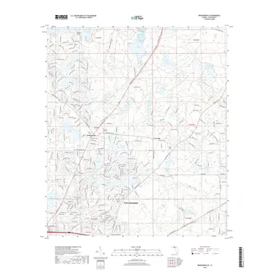 2018 Bradfordville2018 Print · USGSCovers Eastgate, including Tallahassee, Centerville, and other nearby areas
 - 2018 Map of Lafayette, 2018 Print
 2018 Lafayette2018 Print · USGSCovers Eastgate, including Tallahassee, Perkins, and other nearby areas
 - 2021 Map of Lafayette, 2021 Print
 2021 Lafayette2021 Print · USGSCovers Eastgate, including Tallahassee, Perkins, and other nearby areas
 - 2021 Map of Bradfordville, 2021 Print
 2021 Bradfordville2021 Print · USGSCovers Eastgate, including Tallahassee, Centerville, and other nearby areas
 - 2024 Map of Bradfordville, 2024 Print
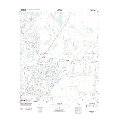
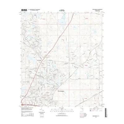
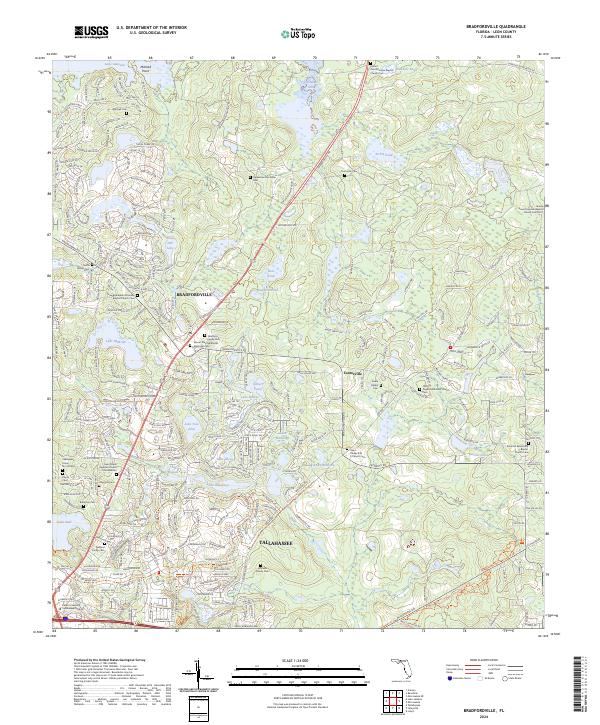 2024 Bradfordville2024 Print · USGSNorth of the Florida state capital in the early 21st century, this area balances modern growth with historic rural roots. Genealogists and historians can locate family-named grounds such as the Eppes Cem and Whitaker Family Cem or trace the lands around Lake McBride.
 - 2024 Map of Lafayette, 2024 Print
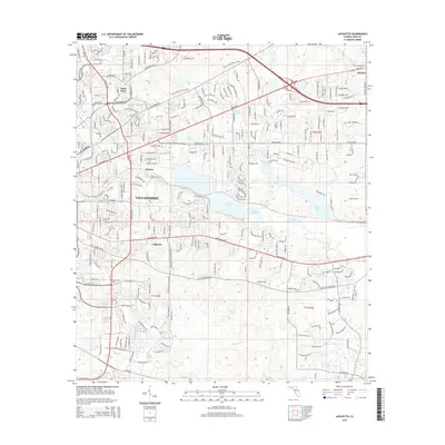
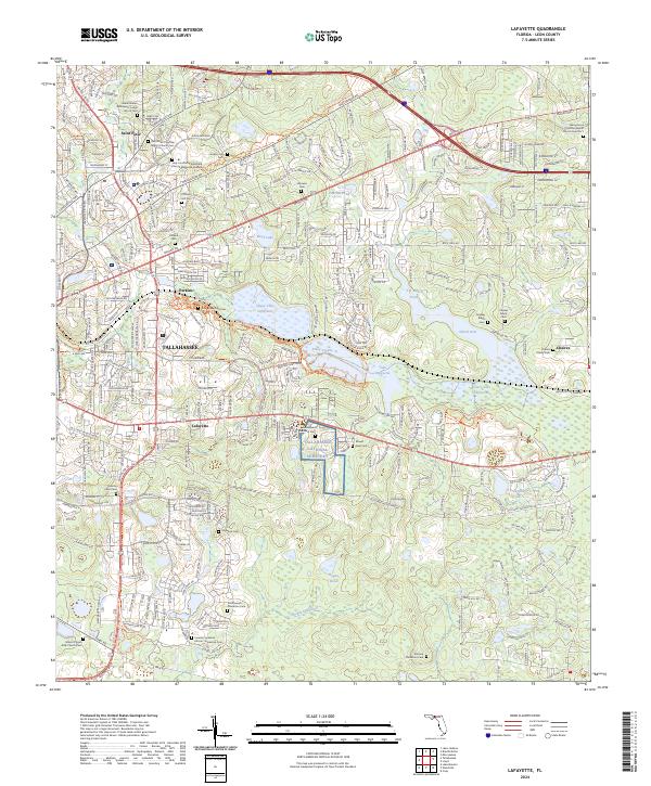 2024 Lafayette2024 Print · USGSLeon County, Florida, is documented here in its contemporary state, showing the blend of suburban expansion and significant heritage sites. Genealogists can locate several family and church burial grounds, such as the Southwood Plantation Cem and Pallbearers Lodge No 25 Cem.
End of results
Showing maps 1-22 of 22
Frequently asked questions
- What are the different types of historical maps available for Eastgate?
- What is the oldest map of Eastgate?
- Where can I purchase historical maps of Eastgate for my home or office?
- Where can I download high-res historical maps of Eastgate?
- Are there historical topographic maps available for Eastgate?
- Is there historical aerial imagery available for Eastgate?
- Where are historical maps of Eastgate sourced from?