2000s (21st Century) Maps of Chiefland, Florida
Explore 20 historic maps of Chiefland from the 2000s (21st Century). These maps offer a rare glimpse into what life looked like during the 2000s — showing old roads, neighborhoods, homes, and landmarks that have changed or disappeared over time.
Whether you're researching your family's past, planning a metal detecting trip, or studying how Chiefland's landscape evolved across the 2000s, these high-resolution maps are a powerful tool for exploring the history of this region.
- Focus on a specific era: All maps on this page are from the 2000s, giving you a focused view of this time period.
- See what’s changed: Compare century-old streets, trails, and buildings to today's modern landscape using overlays and satellite layers.
- Research with precision: Use these maps for genealogy, historical research, land use analysis, or educational projects.
- View, download, or print: Maps are fully viewable online in high resolution, and can be downloaded or printed for your own records.
Start exploring Chiefland's history through authentic maps from the 2000s. This is your window into the past.
Chiefland, FL maps
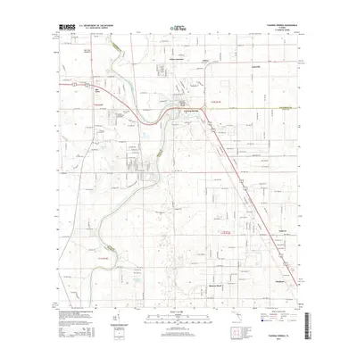
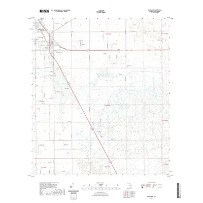
(20)- 2012 Map of Chiefland, 2012 Print
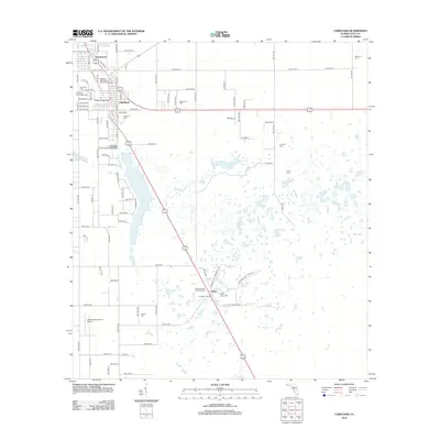 2012 Chiefland2012 Print · USGSCovers Chiefland, including Chiefland Astronomy Village, Usher, and other nearby areas
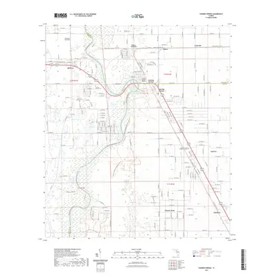
 - 2012 Map of Fanning Springs, 2012 Print
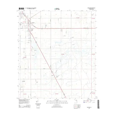
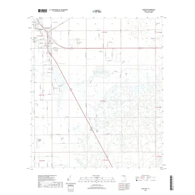
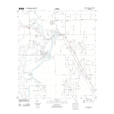 2012 Fanning Springs2012 Print · USGSCovers Chiefland, including Fanning Springs, Lottieville, and other nearby areas
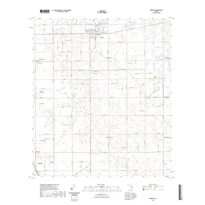
 - 2012 Map of Trenton, 2012 Print
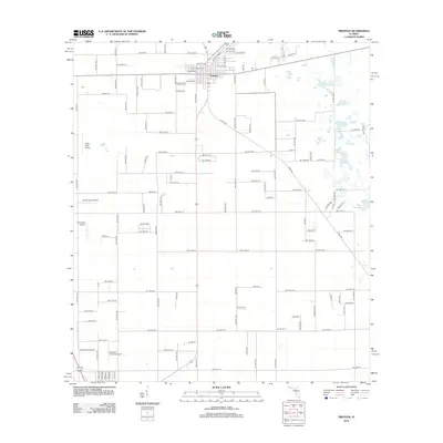 2012 Trenton2012 Print · USGSCovers Chiefland, including Trenton, Andrews, and other nearby areas
 - 2012 Map of Manatee Springs, 2012 Print
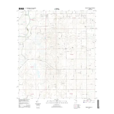
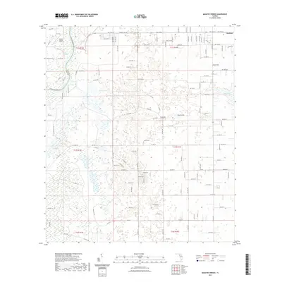
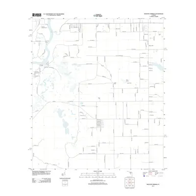 2012 Manatee Springs2012 Print · USGSCovers Chiefland, including Levy County, Dixie County, and other nearby areas
 - 2015 Map of Manatee Springs, 2015 Print
 2015 Manatee Springs2015 Print · USGSCovers Chiefland, including Levy County, Dixie County, and other nearby areas
 - 2015 Map of Trenton, 2015 Print
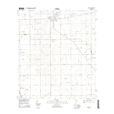 2015 Trenton2015 Print · USGSCovers Chiefland, including Trenton, Andrews, and other nearby areas
 - 2015 Map of Chiefland, 2015 Print
 2015 Chiefland2015 Print · USGSCovers Chiefland, including Chiefland Astronomy Village, Usher, and other nearby areas
 - 2015 Map of Fanning Springs, 2015 Print
 2015 Fanning Springs2015 Print · USGSCovers Chiefland, including Fanning Springs, Lottieville, and other nearby areas
 - 2018 Map of Manatee Springs, 2018 Print
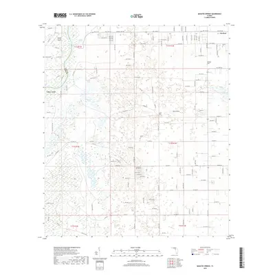 2018 Manatee Springs2018 Print · USGSCovers Chiefland, including Levy County, Dixie County, and other nearby areas
 - 2018 Map of Chiefland, 2018 Print
 2018 Chiefland2018 Print · USGSCovers Chiefland, including Chiefland Astronomy Village, Usher, and other nearby areas
 - 2018 Map of Trenton, 2018 Print
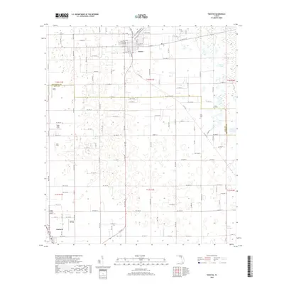 2018 Trenton2018 Print · USGSCovers Chiefland, including Trenton, Andrews, and other nearby areas
 - 2018 Map of Fanning Springs, 2018 Print
 2018 Fanning Springs2018 Print · USGSCovers Chiefland, including Fanning Springs, Lottieville, and other nearby areas
 - 2021 Map of Chiefland, 2021 Print
 2021 Chiefland2021 Print · USGSCovers Chiefland, including Chiefland Astronomy Village, Usher, and other nearby areas
 - 2021 Map of Trenton, 2021 Print
 2021 Trenton2021 Print · USGSCovers Chiefland, including Trenton, Andrews, and other nearby areas
 - 2021 Map of Manatee Springs, 2021 Print
 2021 Manatee Springs2021 Print · USGSCovers Chiefland, including Levy County, Dixie County, and other nearby areas
 - 2021 Map of Fanning Springs, 2021 Print
 2021 Fanning Springs2021 Print · USGSCovers Chiefland, including Fanning Springs, Lottieville, and other nearby areas
 - 2024 Map of Fanning Springs, 2024 Print
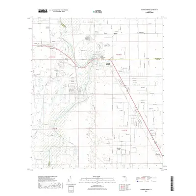
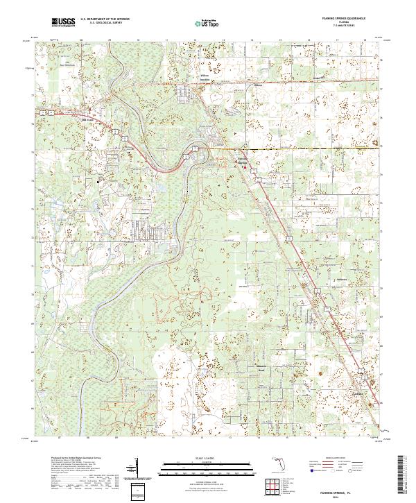 2024 Fanning Springs2024 Print · USGSThe Suwannee River corridor comes into sharp focus during the 2020s, showing the intersection of Dixie, Gilchrist, and Levy counties. Researchers can trace local history through the Old Town Memorial Cem or locate former rail-stops like Wilcox Junction and Lottieville.
 - 2024 Map of Trenton, 2024 Print
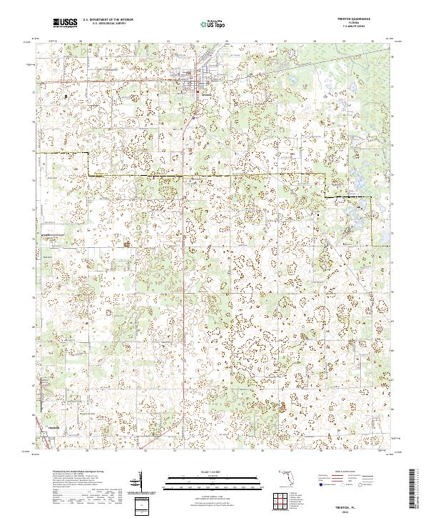 2024 Trenton2024 Print · USGSGilchrist County at the current moment shows the steady development of Trenton around the Gilchrist County Courthouse. Researchers can locate several private landing strips and rural burial grounds such as Pine Grove Cem and Shady Grove Cem.
 - 2024 Map of Chiefland, 2024 Print
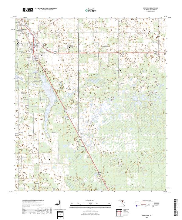 2024 Chiefland2024 Print · USGSLevy County at the start of the 2020s shows a deeply rooted landscape of family settlements and rural communities. Researchers can trace local lineages through a dense network of burial sites like Levyville Cem, Carter Cem, and the Usher Family Cem.
 - 2024 Map of Manatee Springs, 2024 Print
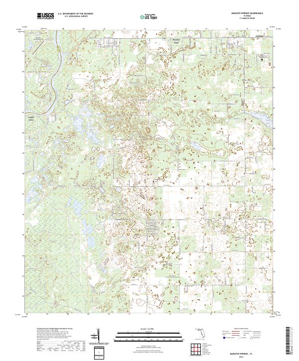 2024 Manatee Springs2024 Print · USGSThe Suwannee River and its famous freshwater springs define this Levy County landscape in the early twenty-first century. Genealogists can locate family landmarks such as Hardee-town Methodist Cem, Antioch Cem, and the riverfront settlement of Yellow Jacket.
End of results
Showing maps 1-20 of 20
Top cities near Chiefland
- Newberry historical maps
- Trenton historical maps
- Bronson historical maps
- Fanning Springs historical maps
- Otter Creek historical maps
Frequently asked questions
- What are the different types of historical maps available for Chiefland?
- What is the oldest map of Chiefland?
- Where can I purchase historical maps of Chiefland for my home or office?
- Where can I download high-res historical maps of Chiefland?
- Are there historical topographic maps available for Chiefland?
- Is there historical aerial imagery available for Chiefland?
- Where are historical maps of Chiefland sourced from?