Old Maps of Chiefland, Florida for Metal Detecting
Plan your next treasure hunt with 29 historic maps of Chiefland. Find old homesites, ghost towns, trails, and gathering spots that may be lost to time — perfect for identifying promising metal detecting locations.
- Locate forgotten sites: Uncover places like long-lost settlements, abandoned rail lines, or gathering spots.
- Plan better hunts: Use map overlays combined with LiDAR or satellite views to narrow in on historically rich areas.
- Made for detectorists: Thousands of hobbyists use these maps to discover relics, coins, and hidden history.
Use these historic maps to boost your research and find new opportunities beneath the surface of Chiefland.
Chiefland, FL maps
(29)- 1954 Map of Chiefland, 1956 Print
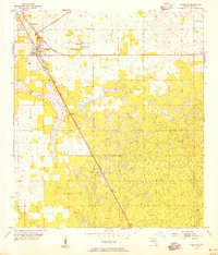 1954 Chiefland1956 Print · USGSThe Levy County countryside during the mid-fifties is captured here as the ATLANTIC COAST LINE corridor shapes the local geography. Trace family roots at Hardee town or find rural landmarks like Levyville Cem and Morning Star Ch.4 unique versions available
 - 1954 Map of Manatee Springs, 1956 Print
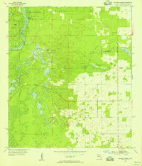 1954 Manatee Springs1956 Print · USGSThe Suwannee River forms the heart of this mid-1950s Florida survey, where the river-fed Manatee Springs meets the dense wetlands of Levy County. Local historians can trace riverside life at Lower Clay Landing and find family roots at Antioch Cem and Long Pond Ch.3 unique versions available
 - 1954 Map of Gainesville, 1965 Print
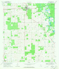
 1954 Gainesville1965 Print · USGSMid-century North Central Florida comes into focus as a landscape of timber, rails, and river towns along the Gulf. Trace family roots in established centers like Gainesville or follow the path of the Suwannee River to the coastal docks of Cedar Key.3 unique versions available
 - 1958 Map of Gainesville
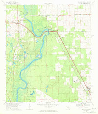
 1958 Gainesville1958 Print · USGSNorth Central Florida’s rail and river networks are frozen in time just before the interstate era. Genealogists and historians can trace the paths of the Atlantic Coast Line through Gainesville or locate coastal settlements like Steinhatchee and Cedar Key.
 - 1959 Map of Gainesville
 1959 Gainesville1959 Print · USGSNorth Florida in the mid-fifties is seen here from the Gulf coast to the inland lakes, showing the rail-and-river network before modern highways dominated. Researchers can trace the paths of the Seaboard Air Line through towns like Chiefland and Micanopy, or explore the coastal inlets of Waccasassa Bay.
 - 1968 Map of Trenton, 1971 Print
 1968 Trenton1971 Print · USGSThe rural interior of Gilchrist County comes into focus during the late sixties, centered on the rail-side settlement of Trenton. Researchers can trace the Seaboard Coast Line tracks and the specific grid of the town center as it stood before modern growth.3 unique versions available
 - 1968 Map of Suwannee River, 1971 Print
 1968 Suwannee River1971 Print · USGSThe Florida river country comes alive in this survey of the tri-county borderlands during the late sixties. Genealogists and local historians can trace the foundations of Old Town and Fanning Springs, or locate rural landmarks like St Christophers Ch and the Old Town Cem.3 unique versions available
 - 1978 Map of Ocala, 1980 Print
 1978 Ocala1980 Print · USGSFlorida's interior heartland and Gulf coast are seen here in the late seventies, showing the transition from freshwater springs to coastal hammocks. Genealogists and historians can trace the Seaboard Coast Line Railroad through Chiefland, Bronson, and Dunnellon.2 unique versions available
 - 1981 Map of Gainesville, 1982 Print
 1981 Gainesville1982 Print · USGSGainesville and its surrounding North Central Florida counties are captured in the early eighties, showcasing a mix of university growth and rural agriculture. Genealogists and historians can trace small settlements like Arredondo, Wacahoota, and Island Grove alongside major rail lines like the Seaboard Coast Line.2 unique versions available
 - 2012 Map of Chiefland, 2012 Print
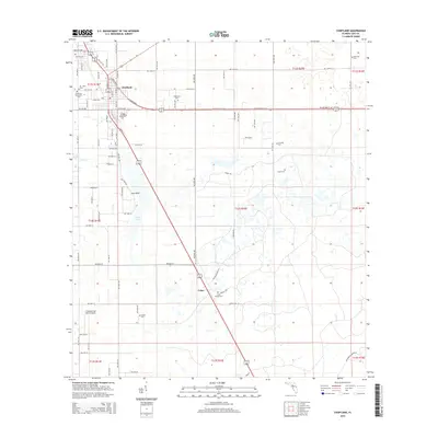
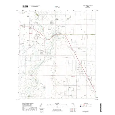
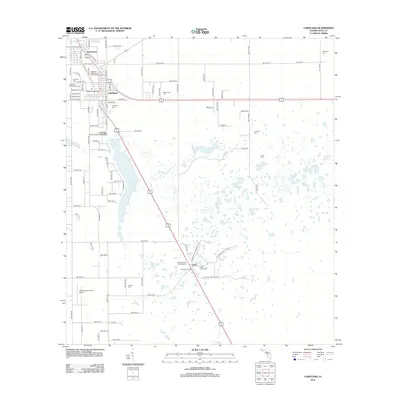 2012 Chiefland2012 Print · USGSCovers Chiefland, including Chiefland Astronomy Village, Usher, and other nearby areas
 - 2012 Map of Fanning Springs, 2012 Print
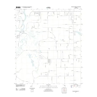
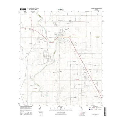
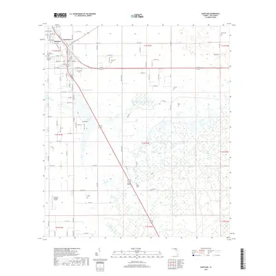
 2012 Fanning Springs2012 Print · USGSCovers Chiefland, including Fanning Springs, Lottieville, and other nearby areas
 - 2012 Map of Trenton, 2012 Print
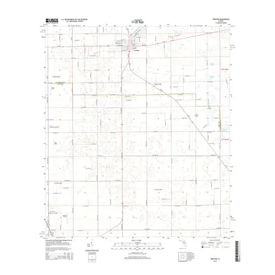
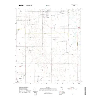
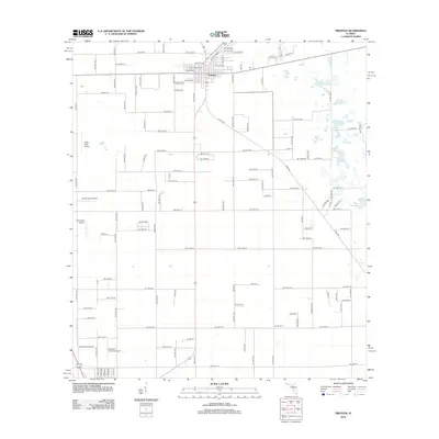 2012 Trenton2012 Print · USGSCovers Chiefland, including Trenton, Andrews, and other nearby areas
 - 2012 Map of Manatee Springs, 2012 Print
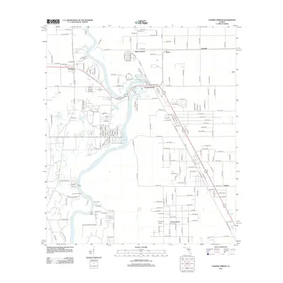
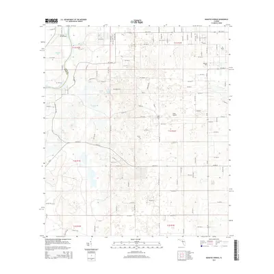
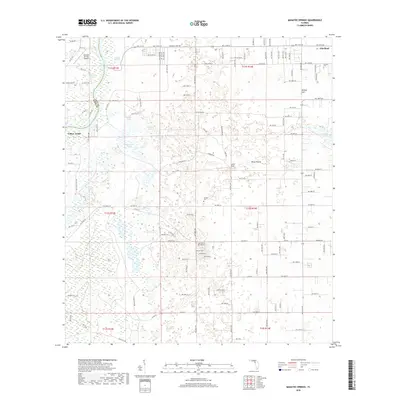
 2012 Manatee Springs2012 Print · USGSCovers Chiefland, including Levy County, Dixie County, and other nearby areas
 - 2015 Map of Manatee Springs, 2015 Print
 2015 Manatee Springs2015 Print · USGSCovers Chiefland, including Levy County, Dixie County, and other nearby areas
 - 2015 Map of Trenton, 2015 Print
 2015 Trenton2015 Print · USGSCovers Chiefland, including Trenton, Andrews, and other nearby areas
 - 2015 Map of Chiefland, 2015 Print
 2015 Chiefland2015 Print · USGSCovers Chiefland, including Chiefland Astronomy Village, Usher, and other nearby areas
 - 2015 Map of Fanning Springs, 2015 Print
 2015 Fanning Springs2015 Print · USGSCovers Chiefland, including Fanning Springs, Lottieville, and other nearby areas
 - 2018 Map of Manatee Springs, 2018 Print
 2018 Manatee Springs2018 Print · USGSCovers Chiefland, including Levy County, Dixie County, and other nearby areas
 - 2018 Map of Chiefland, 2018 Print
 2018 Chiefland2018 Print · USGSCovers Chiefland, including Chiefland Astronomy Village, Usher, and other nearby areas
 - 2018 Map of Trenton, 2018 Print
 2018 Trenton2018 Print · USGSCovers Chiefland, including Trenton, Andrews, and other nearby areas
 - 2018 Map of Fanning Springs, 2018 Print
 2018 Fanning Springs2018 Print · USGSCovers Chiefland, including Fanning Springs, Lottieville, and other nearby areas
 - 2021 Map of Chiefland, 2021 Print
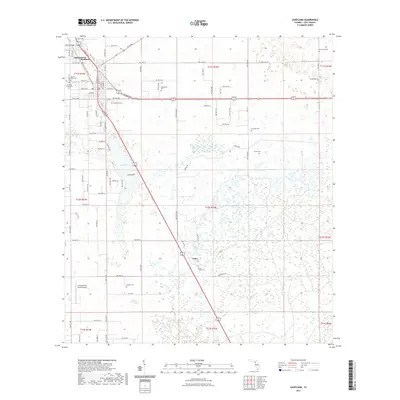 2021 Chiefland2021 Print · USGSCovers Chiefland, including Chiefland Astronomy Village, Usher, and other nearby areas
 - 2021 Map of Trenton, 2021 Print
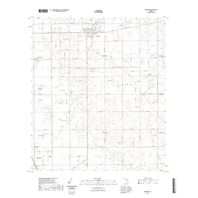 2021 Trenton2021 Print · USGSCovers Chiefland, including Trenton, Andrews, and other nearby areas
 - 2021 Map of Manatee Springs, 2021 Print
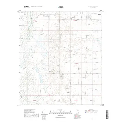 2021 Manatee Springs2021 Print · USGSCovers Chiefland, including Levy County, Dixie County, and other nearby areas
 - 2021 Map of Fanning Springs, 2021 Print
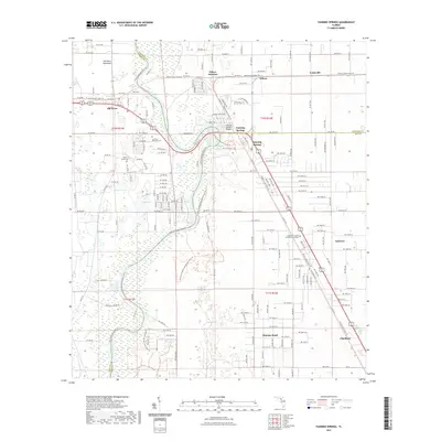 2021 Fanning Springs2021 Print · USGSCovers Chiefland, including Fanning Springs, Lottieville, and other nearby areas
Showing maps 1-25 of 29
Top cities near Chiefland
- Newberry historical maps
- Trenton historical maps
- Bronson historical maps
- Fanning Springs historical maps
- Otter Creek historical maps
Frequently asked questions
- What are the different types of historical maps available for Chiefland?
- What is the oldest map of Chiefland?
- Where can I purchase historical maps of Chiefland for my home or office?
- Where can I download high-res historical maps of Chiefland?
- Are there historical topographic maps available for Chiefland?
- Is there historical aerial imagery available for Chiefland?
- Where are historical maps of Chiefland sourced from?