Old Maps of Williston, Florida for Metal Detecting
Plan your next treasure hunt with 17 historic maps of Williston. Find old homesites, ghost towns, trails, and gathering spots that may be lost to time — perfect for identifying promising metal detecting locations.
- Locate forgotten sites: Uncover places like long-lost settlements, abandoned rail lines, or gathering spots.
- Plan better hunts: Use map overlays combined with LiDAR or satellite views to narrow in on historically rich areas.
- Made for detectorists: Thousands of hobbyists use these maps to discover relics, coins, and hidden history.
Use these historic maps to boost your research and find new opportunities beneath the surface of Williston.
Williston, FL maps
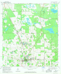
(17)- 1895 Map of Williston
 1895 Williston1895 Print · USGSNorth Central Florida in the mid-1890s reveals a landscape shaped by phosphate mining and the arrival of the iron horse. Genealogists and historians can trace early rail hubs like Williston and Montbrook, alongside industrial sites like Standard Mine and Phosphate.6 unique versions available
 - 1954 Map of Gainesville, 1965 Print
 1954 Gainesville1965 Print · USGSMid-century North Central Florida comes into focus as a landscape of timber, rails, and river towns along the Gulf. Trace family roots in established centers like Gainesville or follow the path of the Suwannee River to the coastal docks of Cedar Key.3 unique versions available
 - 1958 Map of Gainesville
 1958 Gainesville1958 Print · USGSNorth Central Florida’s rail and river networks are frozen in time just before the interstate era. Genealogists and historians can trace the paths of the Atlantic Coast Line through Gainesville or locate coastal settlements like Steinhatchee and Cedar Key.
 - 1959 Map of Gainesville
 1959 Gainesville1959 Print · USGSNorth Florida in the mid-fifties is seen here from the Gulf coast to the inland lakes, showing the rail-and-river network before modern highways dominated. Researchers can trace the paths of the Seaboard Air Line through towns like Chiefland and Micanopy, or explore the coastal inlets of Waccasassa Bay.
 - 1969 Map of Williston, 1971 Print
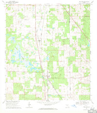
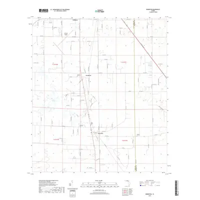
 1969 Williston1971 Print · USGSFlorida's limestone country and the rail corridors of Levy County are documented here in the late sixties. Genealogists and researchers can locate several rural churches and burial grounds like New Hope Cem, the Orange Hill Cem, and St Josephs Ch.2 unique versions available
 - 1969 Map of Morriston, 1971 Print
 1969 Morriston1971 Print · USGSLevy County at the end of the sixties shows a landscape of rail-side settlements and karst lakes. Trace the tracks of the Seaboard Coast Line through Montbrook and Morriston, or locate family burial sites at Plummers Cem and Pleasant Hill Cem.3 unique versions available
 - 1978 Map of Ocala, 1980 Print
 1978 Ocala1980 Print · USGSFlorida's interior heartland and Gulf coast are seen here in the late seventies, showing the transition from freshwater springs to coastal hammocks. Genealogists and historians can trace the Seaboard Coast Line Railroad through Chiefland, Bronson, and Dunnellon.2 unique versions available
 - 2012 Map of Williston, 2012 Print
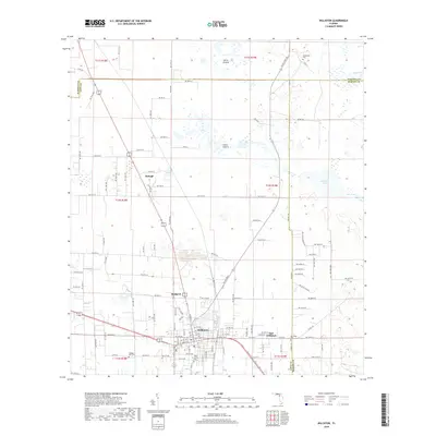
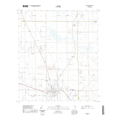
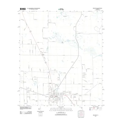 2012 Williston2012 Print · USGSCovers Williston, including East Williston, Hodgson, and other nearby areas
 - 2012 Map of Morriston, 2012 Print
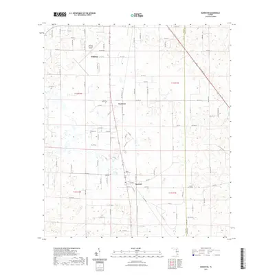
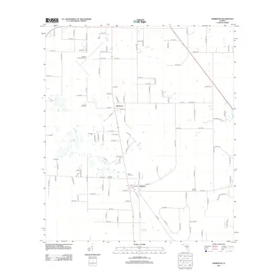 2012 Morriston2012 Print · USGSCovers Williston, including Morriston, Montbrook, and other nearby areas
 - 2015 Map of Morriston, 2015 Print
 2015 Morriston2015 Print · USGSCovers Williston, including Morriston, Montbrook, and other nearby areas
 - 2015 Map of Williston, 2015 Print
 2015 Williston2015 Print · USGSCovers Williston, including East Williston, Hodgson, and other nearby areas
 - 2018 Map of Williston, 2018 Print
 2018 Williston2018 Print · USGSCovers Williston, including East Williston, Hodgson, and other nearby areas
 - 2018 Map of Morriston, 2018 Print
 2018 Morriston2018 Print · USGSCovers Williston, including Morriston, Montbrook, and other nearby areas
 - 2021 Map of Williston, 2021 Print
 2021 Williston2021 Print · USGSCovers Williston, including East Williston, Hodgson, and other nearby areas
 - 2021 Map of Morriston, 2021 Print
 2021 Morriston2021 Print · USGSCovers Williston, including Morriston, Montbrook, and other nearby areas
 - 2024 Map of Williston, 2024 Print
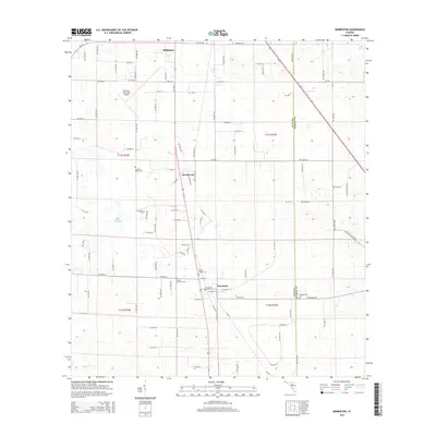
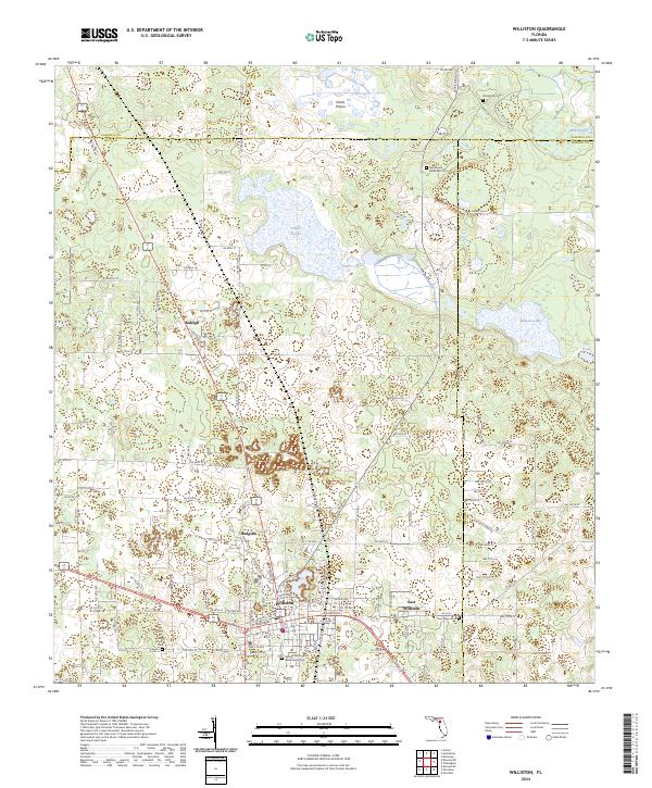 2024 Williston2024 Print · USGSWilliston and the surrounding prairies of Levy County are shown here at a time of modern growth alongside deep family roots. Genealogists can trace family landmarks and burial sites like the George Washington Willis Family Cem or the Orange Hill Cem near Hodgson.
 - 2024 Map of Morriston, 2024 Print
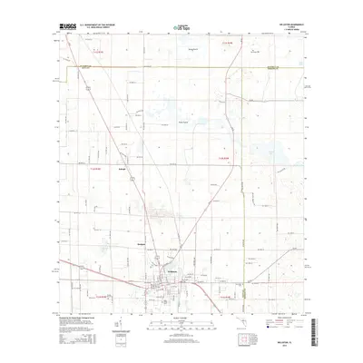
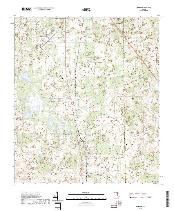 2024 Morriston2024 Print · USGSThis central Florida corridor near the Levy and Marion county line shows the rural settlements of Morriston and Williston in the modern era. Researchers can trace local genealogy through several family burial sites, including Sistrunk Family Cem and Barber Family Cem.
End of results
Showing maps 1-17 of 17
Top cities near Williston
- Gainesville historical maps
- Ocala historical maps
- Newberry historical maps
- East Bronson historical maps
- Archer historical maps
- Bronson historical maps
See more
Frequently asked questions
- What are the different types of historical maps available for Williston?
- What is the oldest map of Williston?
- Where can I purchase historical maps of Williston for my home or office?
- Where can I download high-res historical maps of Williston?
- Are there historical topographic maps available for Williston?
- Is there historical aerial imagery available for Williston?
- Where are historical maps of Williston sourced from?