Old Maps of Woods, Florida for Genealogy
Trace your family roots with 12 historic maps of Woods. These high-res maps reveal old neighborhoods, homesites, landmarks, and streets — helping you uncover where your ancestors lived and how the area evolved over time.
- Explore historic neighborhoods: Identify where your relatives may have lived in the 1800s or 1900s.
- Compare maps over time: Trace the changes in streets, buildings, and landmarks for multi-generational research.
- Perfect for genealogy & ancestry research: Used by family historians and researchers to map out lineage and migration.
These maps are an incredible resource for exploring your personal connection to Woods's past.
Woods, FL maps
(12)- 1945 Map of Woods
 1945 Woods1945 Print · USGSLiberty County's remote timber and swamp lands are captured here at the end of the Second World War. Researchers can trace traditional backcountry routes through the Apalachicola National Forest and identify old landmarks like Smokehouse Crossing and Half Open Pond.4 unique versions available
 - 1954 Map of Tallahassee, 1967 Print
 1954 Tallahassee1967 Print · USGSThe Florida Panhandle and South Georgia are captured here during a period of mid-century growth and military expansion. Researchers can trace the development of Panama City, the footprint of Tyndall Air Force Base, and the rail lines of the Atlantic Coast Line.4 unique versions available
 - 1959 Map of Tallahassee
 1959 Tallahassee1959 Print · USGSFlorida's Panhandle and the Big Bend region appear here in the mid-fifties, showing a landscape defined by its great river systems and developing coast. Trace the early layout of Panama City, the expansive Apalachicola National Forest, and the coastal St Marks Lighthouse.
 - 1960 Map of Tallahassee
 1960 Tallahassee1960 Print · USGSThe Florida Panhandle and southern Georgia are captured here in the mid-twentieth century, showing a region defined by its rivers and military installations. Genealogists and historians can trace the growth of Tallahassee or locate coastal landmarks like the St Marks Lighthouse and Tyndall Air Force Base.
 - 1979 Map of Tallahassee, 1980 Print
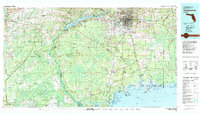 1979 Tallahassee1980 Print · USGSFlorida's capital and the Gulf coast are captured here in the late seventies, showing the region's balance between urban growth and massive protected wetlands. Researchers can trace the routes of the Apalachicola Northern Railroad or locate small inland hubs like Sopchoppy, Panacea, and Hosford.
 - 1988 Map of Tallahassee
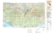 1988 Tallahassee1988 Print · USGSThe Florida Panhandle and South Georgia are captured here in the late eighties, showing the expansion of the regional highway network and coastal growth. Genealogists and historians can trace rail lines like the Seaboard System Railroad or locate family roots in Blountstown, Graceville, or Crawfordville.2 unique versions available
 - 1990 Map of Woods
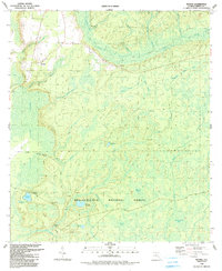 1990 Woods1990 Print · USGSLiberty County's pine flatwoods and cypress bays are meticulously mapped here during the late twentieth century. Genealogists and local historians can locate the community of Woods, trace the path to Smokehouse Crossing, or find the remote Fawn Ford along the New River.
 - 2012 Map of Woods, 2012 Print
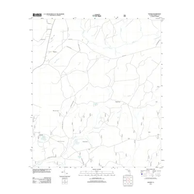 2012 Woods2012 Print · USGSLiberty County was defined by its water and woods in the early 21st century, as rural outposts like Woods remained tied to the local landscape. Genealogists and researchers can locate family-named routes like Stephen J Revell Rd or trace historic points like Smokehouse Crossing and Fawn Ford.
 - 2015 Map of Woods, 2015 Print
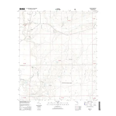 2015 Woods2015 Print · USGSLiberty County's timberlands and forest tracks are preserved in this 2015 survey of the Woods area. Researchers can trace the path of the Florida National Scenic Trail through the Apalachicola National Forest or locate landmarks like Fawn Ford and Memery Island.
 - 2018 Map of Woods, 2018 Print
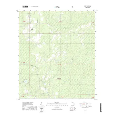 2018 Woods2018 Print · USGSLiberty County's forested interior is captured here in the late twenty-teens, showing the vast wetland systems of the Apalachicola National Forest. Researchers can trace the path of the Florida National Scenic Trail and locate local landmarks like Fawn Ford and Memery Island.
 - 2021 Map of Woods, 2021 Print
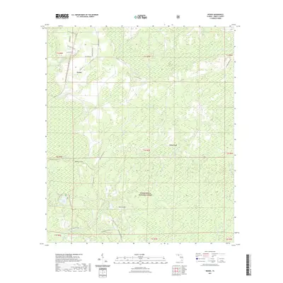 2021 Woods2021 Print · USGSThe Apalachicola National Forest south of Bristol remains a dense network of pine flatwoods and cypress bays as it appeared in the early 2020s. Genealogists and hikers can trace the Florida National Scenic Trl past remote landmarks like Fawn Ford and Sheep Island.
 - 2024 Map of Woods, 2024 Print
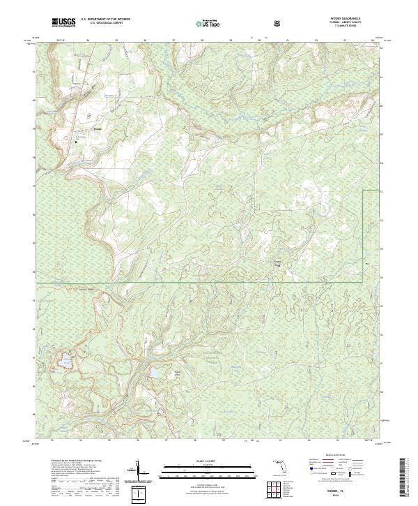 2024 Woods2024 Print · USGSLiberty County's deep forest interior is revealed in this modern survey of the panhandle's wetland landscape. Researchers can trace local genealogy at the Potter Family Cem or follow the historic drainage of Telogia Creek and Johnson Juniper Swamp.
End of results
Showing maps 1-12 of 12
Top cities near Woods
Frequently asked questions
- What are the different types of historical maps available for Woods?
- What is the oldest map of Woods?
- Where can I purchase historical maps of Woods for my home or office?
- Where can I download high-res historical maps of Woods?
- Are there historical topographic maps available for Woods?
- Is there historical aerial imagery available for Woods?
- Where are historical maps of Woods sourced from?