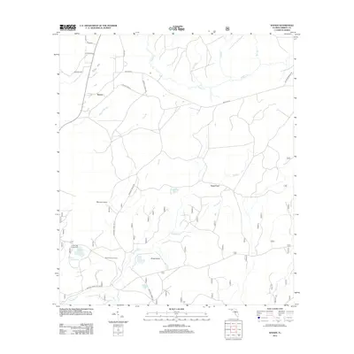
2012 Map of Woods
USGS Topo · Published 2012About this map
Telogia Cr and its various tributaries, including Johnson Br and Johnson Mill Br, carve a complex drainage pattern through this part of the Florida Panhandle. The settlement of Woods serves as a central point in a landscape defined by names that hint at early backcountry travel and navigation, such as Smokehouse Crossing and Fawn Ford. The presence of Memery Island and Sheep Island amid the low-lying terrain suggests the persistent influence of seasonal water levels on local land use.
Find a feature on this map
33 named features on this map. Tap any name to fly to it.
Don’t see what you’re looking for? This feature index may not catch every label — zoom into the map to look around manually.
Map Details
Editions of this 2012 Woods Map
This is the sole edition of this map. No revisions or reprints were ever made.
Other maps of this area

1944 · Queens Bay
USGS Topo · 1:24,000

1945 · Blountstown
USGS Topo · 1:31,680

1945 · Hosford
USGS Topo · 1:31,680

1945 · Estiffanulga
USGS Topo · 1:31,680

1945 · Orange
USGS Topo · 1:31,680

1945 · Bristol
USGS Topo · 1:31,680

1945 · Woods
USGS Topo · 1:31,680

1945 · Telogia
USGS Topo · 1:24,000

1946 · Queens Bay
USGS Topo · 1:31,680

1946 · Telogia
USGS Topo · 1:31,680