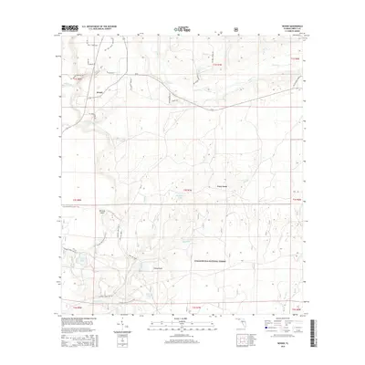
2015 Map of Woods
USGS Topo · Published 2015About this map
Woods and the surrounding pine-timbered lowlands of Liberty County appear here in the early twenty-first century, dominated by the sprawling reaches of the Apalachicola National Forest. The landscape is defined by a dense network of hydrologic features including the winding Telogia Cr and several named wetlands such as Half Open Pond and Camel Pond. The map reveals a transition between rural settlement and protected wilderness, with legacy place names like Fawn Ford and Johnson Mill Br hinting at earlier agricultural or milling activities along the local waterways. Public access is highlighted by the passage of the Florida National Scenic Trail and the Trail of Lakes, which weave through terrain characterized by interior islands like Memery Island and Sheep Island. The survey provides an exacting look at the local road system, from county routes like CR-67 to specific forest roads including National Forest Rd 105.
Find a feature on this map
48 named features on this map. Tap any name to fly to it.
Don’t see what you’re looking for? This feature index may not catch every label — zoom into the map to look around manually.
Map Details
Editions of this 2015 Woods Map
This is the sole edition of this map. No revisions or reprints were ever made.
Other maps of this area

1944 · Queens Bay
USGS Topo · 1:24,000

1945 · Blountstown
USGS Topo · 1:31,680

1945 · Hosford
USGS Topo · 1:31,680

1945 · Estiffanulga
USGS Topo · 1:31,680

1945 · Orange
USGS Topo · 1:31,680

1945 · Bristol
USGS Topo · 1:31,680

1945 · Woods
USGS Topo · 1:31,680

1945 · Telogia
USGS Topo · 1:24,000

1946 · Queens Bay
USGS Topo · 1:31,680

1946 · Telogia
USGS Topo · 1:31,680