2020s Maps of Madison County, Florida
Explore 40 historic maps of Madison County from the 2020s. These maps offer a rare glimpse into what life looked like during the 2020s — showing old roads, neighborhoods, homes, and landmarks that have changed or disappeared over time.
Whether you're researching your family's past, planning a metal detecting trip, or studying how Madison County's landscape evolved across the 2020s, these high-resolution maps are a powerful tool for exploring the history of this region.
- Focus on a specific era: All maps on this page are from the 2020s, giving you a focused view of this time period.
- See what’s changed: Compare century-old streets, trails, and buildings to today's modern landscape using overlays and satellite layers.
- Research with precision: Use these maps for genealogy, historical research, land use analysis, or educational projects.
- View, download, or print: Maps are fully viewable online in high resolution, and can be downloaded or printed for your own records.
Start exploring Madison County's history through authentic maps from the 2020s. This is your window into the past.
Madison County, FL maps
(40)- 2020 Map of Clyattville, 2020 Print
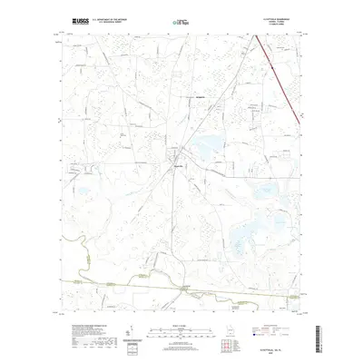 2020 Clyattville2020 Print · USGSCovers Madison County, including Old Clyattville, Briggston, and other nearby areas
 - 2020 Map of Nankin, 2020 Print
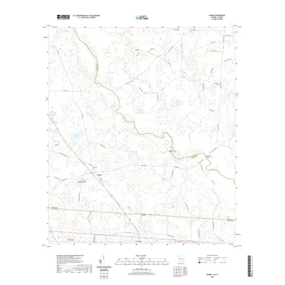 2020 Nankin2020 Print · USGSCovers Madison County, including Nankin, Lowndes County, and other nearby areas
 - 2020 Map of Baden, 2020 Print
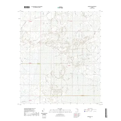
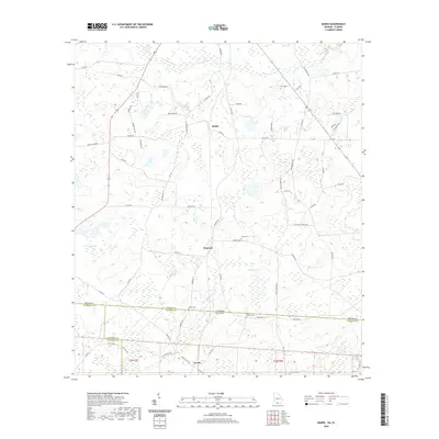 2020 Baden2020 Print · USGSCovers Madison County, including Baden, Lovett, and other nearby areas
 - 2021 Map of Madison, 2021 Print
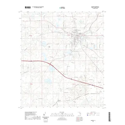 2021 Madison2021 Print · USGSCovers Madison County, including Madison, Hopewell, and other nearby areas
 - 2021 Map of Cherry Lake, 2021 Print
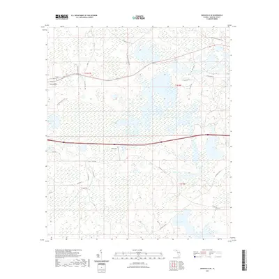
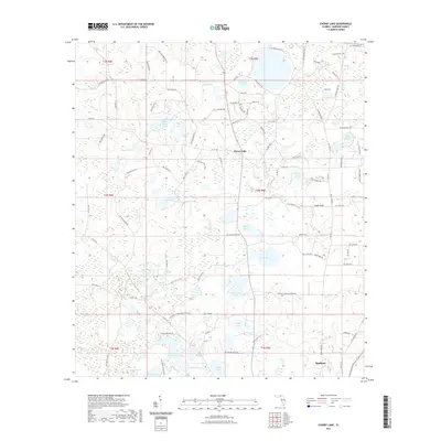 2021 Cherry Lake2021 Print · USGSCovers Madison County, including Cherry Lake, United States, and other nearby areas
 - 2021 Map of Ashville, 2021 Print
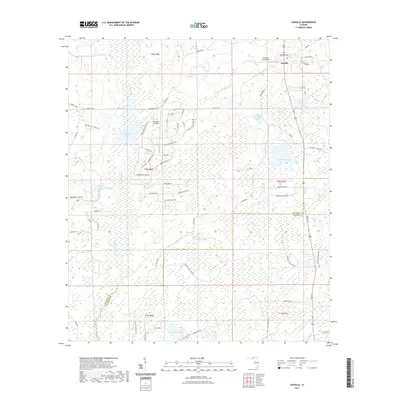 2021 Ashville2021 Print · USGSCovers Madison County, including Ashville, Jefferson County, and other nearby areas
 - 2021 Map of Ellaville, 2021 Print
 2021 Ellaville2021 Print · USGSCovers Madison County, including Ellaville, Blue Springs, and other nearby areas
 - 2021 Map of Lamont, 2021 Print
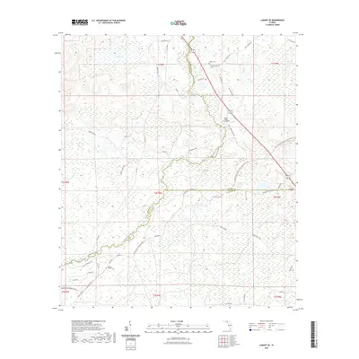
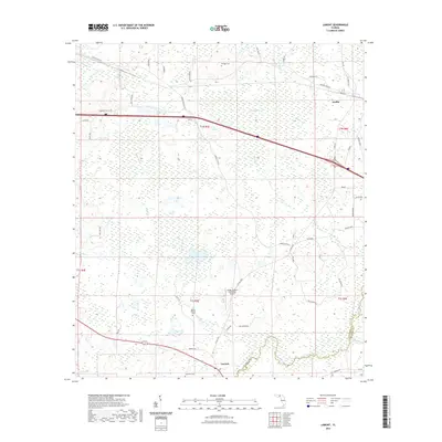 2021 Lamont2021 Print · USGSCovers Madison County, including Lamont, Aucilla, and other nearby areas
 - 2021 Map of Lamont SE, 2021 Print
 2021 Lamont SE2021 Print · USGSCovers Madison County, including Covington, Taylor County, and other nearby areas
 - 2021 Map of Shady Grove, 2021 Print
 2021 Shady Grove2021 Print · USGSCovers Madison County, including Shady Grove, Iddo, and other nearby areas
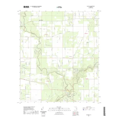
 - 2021 Map of Falmouth, 2021 Print
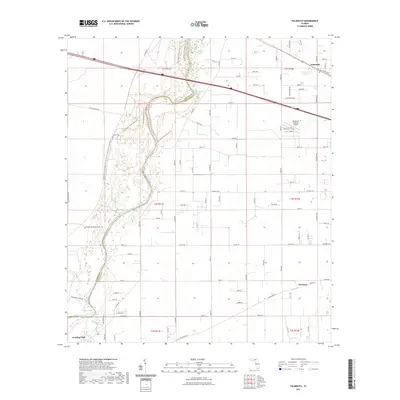 2021 Falmouth2021 Print · USGSCovers Madison County, including Newburn, Falmouth, and other nearby areas
 - 2021 Map of Pinetta, 2021 Print
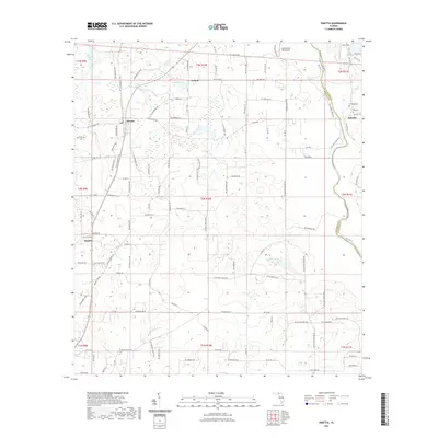 2021 Pinetta2021 Print · USGSCovers Madison County, including Bellville, Pinetta, and other nearby areas
 - 2021 Map of Madison SE, 2021 Print
 2021 Madison SE2021 Print · USGSCovers Madison County, including Suwannee County, Taylor County, and other nearby areas
 - 2021 Map of Greenville SE, 2021 Print
 2021 Greenville SE2021 Print · USGSCovers Madison County, including Taylor County, United States, and other nearby areas
 - 2021 Map of Hamburg, 2021 Print
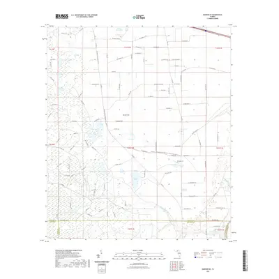
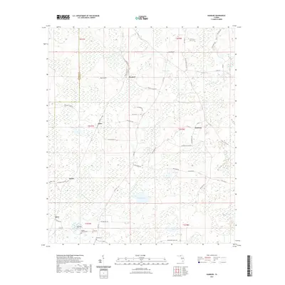 2021 Hamburg2021 Print · USGSCovers Madison County, including Maysland, Dennet, and other nearby areas
 - 2021 Map of Octahatchee, 2021 Print
 2021 Octahatchee2021 Print · USGSCovers Madison County, including Jennings, Octahatchee, and other nearby areas
 - 2021 Map of Madison SW, 2021 Print
 2021 Madison SW2021 Print · USGSCovers Madison County, including Taylor County, United States, and other nearby areas
 - 2021 Map of Lee, 2021 Print
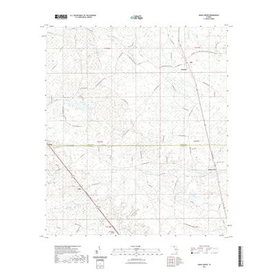
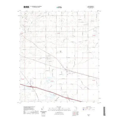 2021 Lee2021 Print · USGSCovers Madison County, including Lee, United States, and other nearby areas
 - 2021 Map of Greenville, 2021 Print
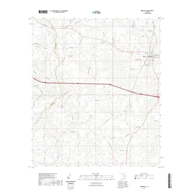 2021 Greenville2021 Print · USGSCovers Madison County, including Greenville, Stern, and other nearby areas
 - 2021 Map of Greenville NE, 2021 Print
 2021 Greenville NE2021 Print · USGSCovers Madison County, including Greenville, United States, and other nearby areas
 - 2024 Map of Baden, 2024 Print
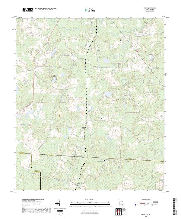 2024 Baden2024 Print · USGSThe Georgia-Florida borderlands come into focus in this recent survey of the rural landscape between Brooks, Madison, and Jefferson counties. Genealogists can trace family footprints across several sites like Pineview Cem and the small settlement of Empress.
 - 2024 Map of Lee, 2024 Print
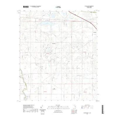
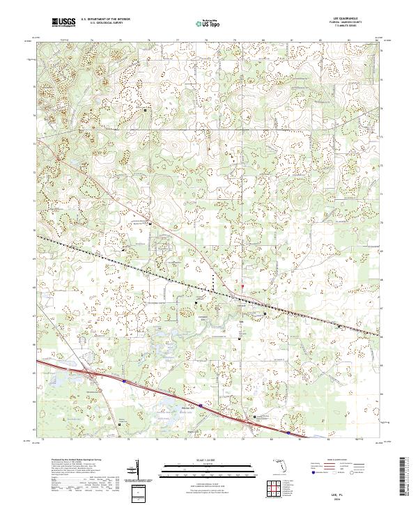 2024 Lee2024 Print · USGSMadison County, Florida, is captured here in the early twenty-first century, centered on the historic town of Lee. Local historians can trace numerous family-named burial sites like Stonewall Cem and unique geological features such as Lee Sink.
 - 2024 Map of Lamont SE, 2024 Print
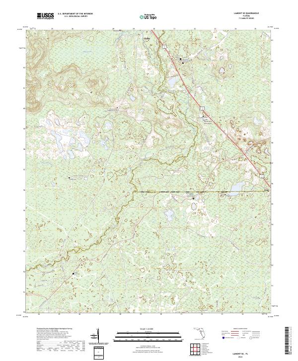 2024 Lamont SE2024 Print · USGSThe Jefferson and Madison county line comes alive in this current survey of North Florida's rural interior. Genealogists and historians can trace family ties at the Lamont Henderson Historical Cem, Rocky Ford Cem, and the quiet crossroads of Eridu.
 - 2024 Map of Pinetta, 2024 Print
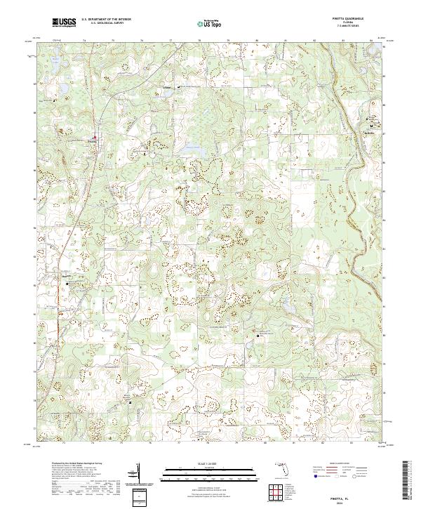 2024 Pinetta2024 Print · USGSNorthern Madison County at the turn of the quarter-century remains a landscape of quiet rural settlements and family landmarks. Genealogists can trace local roots through numerous sites like Allen Family Cemetery, Hanson, and the Bellville Cemetery near the Withlacoochee River.
 - 2024 Map of Ashville, 2024 Print
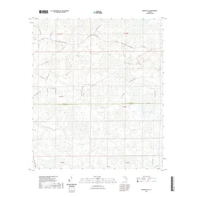
 2024 Ashville2024 Print · USGSNorth Florida's wetland-rich borderlands are mapped here at the intersection of Jefferson and Madison counties. Genealogists can locate several burial sites including Howard Bellamy Cem and Lyndhurst Plantation Cem near Ashville.
Showing maps 1-25 of 40
Top cities of Madison County
Frequently asked questions
- What are the different types of historical maps available for Madison County?
- What is the oldest map of Madison County?
- Where can I purchase historical maps of Madison County for my home or office?
- Where can I download high-res historical maps of Madison County?
- Are there historical topographic maps available for Madison County?
- Is there historical aerial imagery available for Madison County?
- Where are historical maps of Madison County sourced from?