2000s (21st Century) Maps of Madison County, Florida
Explore 101 historic maps of Madison County from the 2000s (21st Century). These maps offer a rare glimpse into what life looked like during the 2000s — showing old roads, neighborhoods, homes, and landmarks that have changed or disappeared over time.
Whether you're researching your family's past, planning a metal detecting trip, or studying how Madison County's landscape evolved across the 2000s, these high-resolution maps are a powerful tool for exploring the history of this region.
- Focus on a specific era: All maps on this page are from the 2000s, giving you a focused view of this time period.
- See what’s changed: Compare century-old streets, trails, and buildings to today's modern landscape using overlays and satellite layers.
- Research with precision: Use these maps for genealogy, historical research, land use analysis, or educational projects.
- View, download, or print: Maps are fully viewable online in high resolution, and can be downloaded or printed for your own records.
Start exploring Madison County's history through authentic maps from the 2000s. This is your window into the past.
Madison County, FL maps
(101)- 2011 Map of Octahatchee, 2011 Print
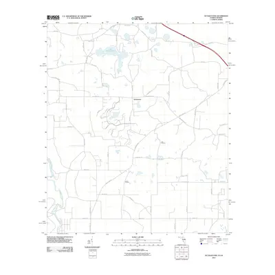 2011 Octahatchee2011 Print · USGSHamilton County, Florida, is shown here in the early twenty-first century as a rural landscape of winding riverbanks and quiet lakes. Genealogists can locate family burial sites at Blair Cemetery and McCall Cemetery near the shores of Lake Octahatchee.
 - 2011 Map of Nankin, 2011 Print
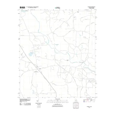 2011 Nankin2011 Print · USGSNankin and the surrounding Brooks County countryside are seen here as the new millennium progressed, defined by the winding Withlacoochee River. Genealogists and researchers can locate family sites at the Columbia Primitive Baptist Church Cemetery, Wade Cemetery, or the crossing at Rocky Ford Bridge.
 - 2011 Map of Baden, 2011 Print
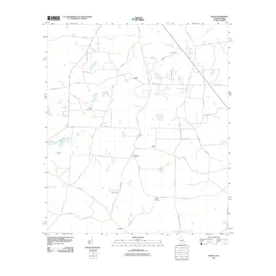 2011 Baden2011 Print · USGSThe Georgia-Florida borderlands come into focus in 2011, showing a rural landscape of scattered homesteads and family farms. Researchers can locate several burial grounds like Worn Cemetery or Redford Denson Cemetery and trace the old route of Knights Ferry Rd.
 - 2011 Map of Clyattville, 2011 Print
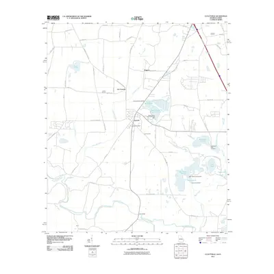 2011 Clyattville2011 Print · USGSThe Georgia-Florida borderlands near Valdosta come into focus in the early twenty-first century, showing a landscape of timber-industry lakes and rural settlements. Researchers can trace local lineage at Hunter Cemetery or locate the site of Old Clyattville near the winding Withlacoochee River.
 - 2012 Map of Cherry Lake, 2012 Print
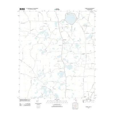 2012 Cherry Lake2012 Print · USGSMadison County at the start of the 2010s is a landscape of rural settlements and numerous karst water bodies. Genealogists and local historians can trace the community around Cherry Lake, locate the Cherry Lake 4 H Camp, and identify remote landmarks like Caulk Flats.
 - 2012 Map of Lee, 2012 Print
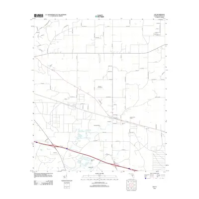 2012 Lee2012 Print · USGSMadison County's rural landscape is mapped here in the early twenty-first century, showing a region defined by its karst geology and agricultural heritage. Genealogists and local historians can locate Brady Cemetery, West Farm, and unique natural features like Lee Sink.
 - 2012 Map of Pinetta, 2012 Print
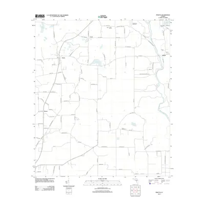 2012 Pinetta2012 Print · USGSNear the Georgia border in Hamilton County, this era captures a landscape of riverine settlements and rural aviation. Researchers can trace family history at Herndon Cem, locate the Gibson Lookout Tower, or explore the crossroads of Bellville and Pinetta.
 - 2012 Map of Ellaville, 2012 Print
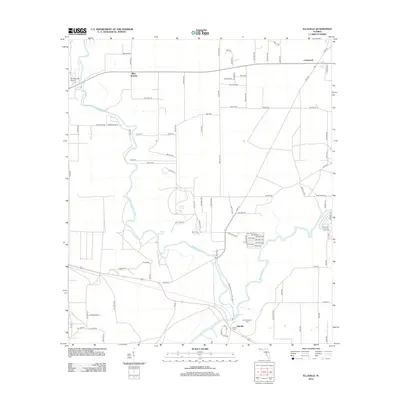 2012 Ellaville2012 Print · USGSThe confluence of the Withlacoochee River and Suwannee River takes center stage in this early twenty-first-century survey. Genealogists can locate family sites near Old Columbus Cem or trace the natural waters of Blue Springs and Suwanacoochee Spring.
 - 2012 Map of Lamont SE, 2012 Print
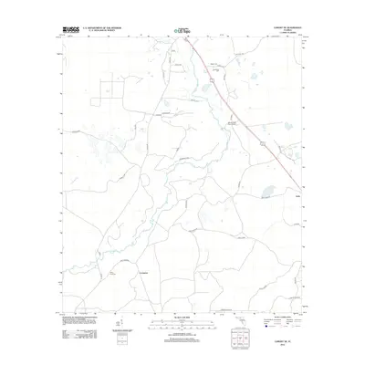 2012 Lamont SE2012 Print · USGSFlorida's Big Bend region is captured here in the early 2010s, where rural communities like Covington and Eridu are connected by a network of timber and farm roads. Genealogists can locate several family burial grounds, including Poppell Cem and Rocky Ford Cem, along the winding Aucilla River.
 - 2012 Map of Madison, 2012 Print
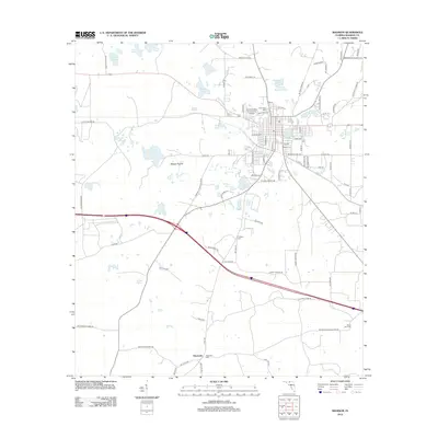 2012 Madison2012 Print · USGSMadison and its surrounding lakes are documented here in the early twenty-first century as a growing college town. Researchers can trace local genealogy and land use through labels like Hopewell, Oak Ridge Cem, and the reaches of Messer Prairie.
 - 2012 Map of Ashville, 2012 Print
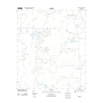 2012 Ashville2012 Print · USGSInland Jefferson County comes into focus in the early 2010s, showing a rural landscape defined by the Aucilla River and private airfields. Genealogists and local historians can trace the road networks around Ashville or locate family landmarks like Sneads Smokehouse Lake and Finlayson Farm Airport.
 - 2012 Map of Octahatchee, 2012 Print
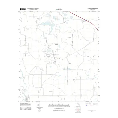 2012 Octahatchee2012 Print · USGSIn this corner of Hamilton County during the early 2010s, modern subdivisions began to wrap around Lake Octahatchee. Local historians can trace family roots at McCall Cem and Blair Cem or locate the rural Squires Aviation Ranch Airport near the Withlacoochee River.
 - 2012 Map of Lamont, 2012 Print
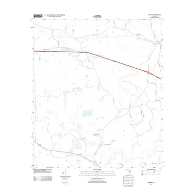 2012 Lamont2012 Print · USGSJefferson County’s rural heritage is well-preserved in this modern-era study of the Florida Panhandle's agricultural and riverine landscape. Family historians can trace ancestral connections through Scruggs Cem and old routes like Curtis Mill Rd or W P A Rd.
 - 2012 Map of Madison SE, 2012 Print
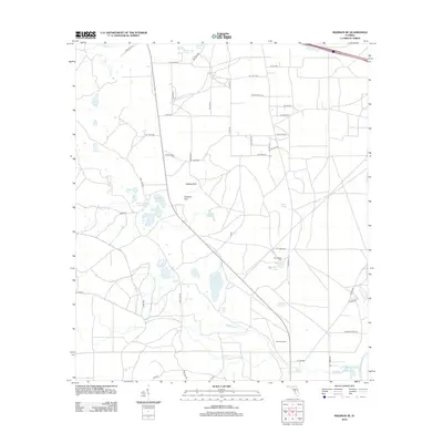 2012 Madison SE2012 Print · USGSSuwannee County remains a landscape of hidden limestone sinks and historic rural crossroads in the early twenty-first century. Genealogists and local historians can locate the Winquepin Cem and trace the course of Blacksnake Cr toward the Suwannee River.
 - 2012 Map of Shady Grove, 2012 Print
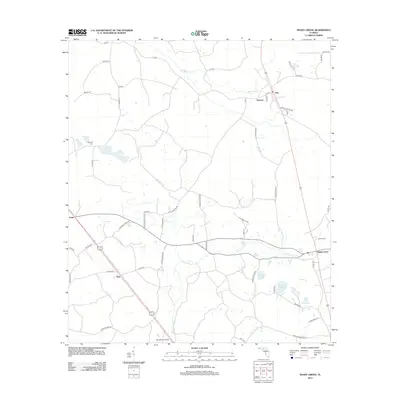 2012 Shady Grove2012 Print · USGSTaylor County at the start of the 2010s reveals a quiet landscape of river bends and small crossroads. Researchers can trace family history at Campbell Cem or locate old community centers like Eridu, Sirmans, and the eponymous Shady Grove.
 - 2012 Map of Hamburg, 2012 Print
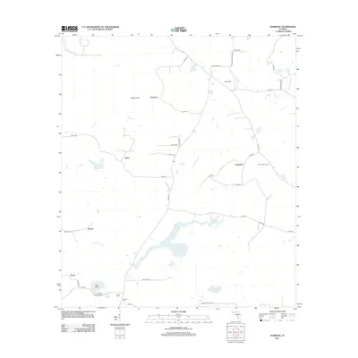 2012 Hamburg2012 Print · USGSNorthern Madison County in the early 2010s is a landscape of river bends and quiet crossroads. Genealogists and historians can locate remote family burial grounds like Reaper Cem and trace the timber and farming lands near Maysland and Hamburg.
 - 2012 Map of Greenville NE, 2012 Print
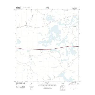 2012 Greenville NE2012 Print · USGSMadison County's marshy landscape and rural ranchlands are captured here in the early 2010s. Genealogists and local historians can locate Evergreen Cem, Oakland Cem, and aviation landmarks like the Pratt Ranch Airport.
 - 2012 Map of Madison SW, 2012 Print
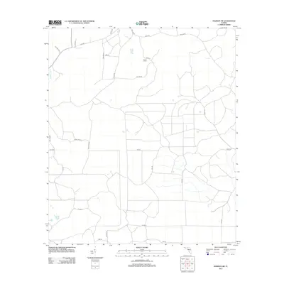 2012 Madison SW2012 Print · USGSTaylor County's timberlands and rural networks are meticulously mapped here in the early twenty-first century. Genealogists and historians can trace family-named routes like Tom Gunter Rd and John Green III near landmarks like Sinclair Lookout.
 - 2012 Map of Falmouth, 2012 Print
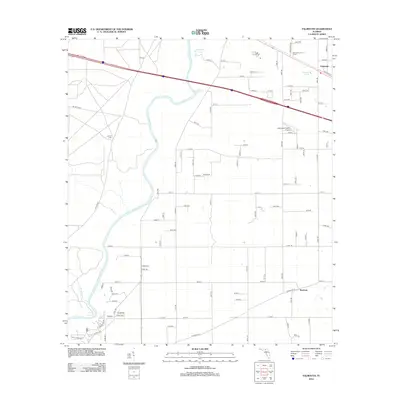 2012 Falmouth2012 Print · USGSSuwannee County's riverfront and springs are captured here in the early twenty-first century as rural communities like Falmouth and Newburn endure. Researchers can locate the Stroud Cem and trace local landmarks like the Falmouth Lookout Tower.
 - 2012 Map of Greenville SE, 2012 Print
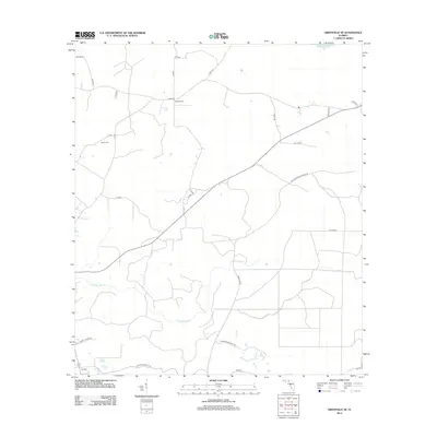 2012 Greenville SE2012 Print · USGSTaylor County's timberlands and river bottoms are captured here in the early 2010s, showing a landscape of quiet crossroads and family-named routes. Researchers can trace the rural communities of Moseley Hall and Lake Bird, or locate the Bailey Cem and the Econfina River.
 - 2012 Map of Greenville, 2012 Print
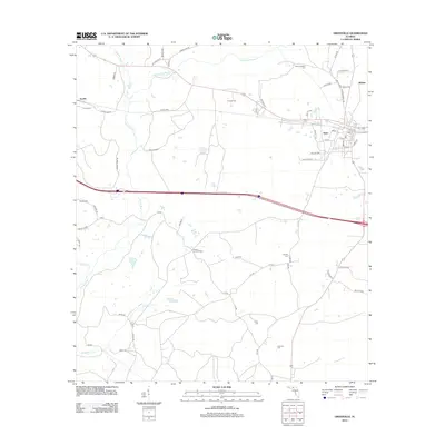 2012 Greenville2012 Print · USGSMadison County at the start of the 2010s reveals a landscape of quiet rural settlements and established family farms. Genealogists and historians can trace local lineages through numerous burial sites like New Hopewell Cem and Bishop Cem or explore the street grid at Stern.
 - 2014 Map of Clyattville, 2014 Print
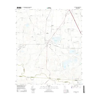 2014 Clyattville2014 Print · USGSSouthern Georgia's borderlands near the Florida line are captured here in the early twenty-first century, showing a landscape of industry and heritage. Genealogists can locate several family burial grounds including Forest Grove Cem and Lane Cem near the Withlacoochee River.
 - 2014 Map of Nankin, 2014 Print
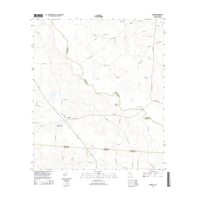 2014 Nankin2014 Print · USGSNankin and the surrounding riverlands of Brooks and Lowndes counties are documented here in the early twenty-first century. Researchers can trace family roots at the Columbia Primitive Baptist Church Cem or map the river at Godwin Bluff.
 - 2014 Map of Baden, 2014 Print
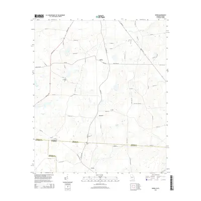 2014 Baden2014 Print · USGSBrooks County, Georgia, sits at the Florida border in the early 2010s, defined by its rural intersections and wetland basins. Genealogists and historians can locate family landmarks like Worn Cem or trace the road network through Baden and Empress.
 - 2015 Map of Greenville SE, 2015 Print
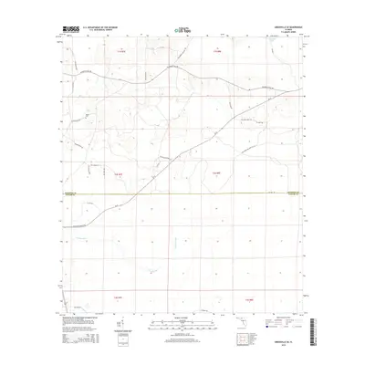 2015 Greenville SE2015 Print · USGSMadison and Taylor counties meet in this Florida timberland during the mid-2010s, where rural life follows the winding Econfina River. Genealogists and local historians can trace the Bailey Cem and family-named routes like SW Moseley Hall Rd and Alton Wentworth Rd.
Showing maps 1-25 of 101
Top cities of Madison County
Frequently asked questions
- What are the different types of historical maps available for Madison County?
- What is the oldest map of Madison County?
- Where can I purchase historical maps of Madison County for my home or office?
- Where can I download high-res historical maps of Madison County?
- Are there historical topographic maps available for Madison County?
- Is there historical aerial imagery available for Madison County?
- Where are historical maps of Madison County sourced from?