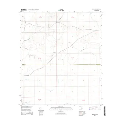
2015 Map of Greenville SE
USGS Topo · Published 2015About this map
The Econfina River winds through the southern reaches of this Florida panhandle landscape, defining a terrain largely shaped by timberlands and rural transit. In the northern section, Sampala Lake sits near the border of Madison and Taylor counties, providing a focal point for the surrounding wetlands. This 2015 survey documents the transition from the upland pine woods down toward the marshes of the San Pedro Bay WMA Ent 26. Local history is anchored by the Bailey Cem along SW Friendship Rd, while the network of unpaved and county roads like Co Line Rd and SW Moseley Hall Rd reveals the persistent, low-density settlement patterns of this region. The landscape remains primarily defined by its natural water systems and the administrative boundaries of the Public Land Survey System.
Find a feature on this map
27 named features on this map. Tap any name to fly to it.
Don’t see what you’re looking for? This feature index may not catch every label — zoom into the map to look around manually.
Map Details
Editions of this 2015 Greenville SE Map
This is the sole edition of this map. No revisions or reprints were ever made.
Other maps of this area

1952 · Secotan
USGS Topo · 1:24,000

1954 · Boyd
USGS Topo · 1:24,000

1954 · Secotan
USGS Topo · 1:24,000

1954 · Day NW
USGS Topo · 1:24,000

1954 · Greenville
USGS Topo · 1:24,000

1954 · Greenville NE
USGS Topo · 1:24,000

1954 · Valdosta
USGS Topo · 1:250,000

1955 · Shady Grove
USGS Topo · 1:24,000

1955 · Greenville SE
USGS Topo · 1:24,000

1958 · Valdosta
USGS Topo · 1:250,000