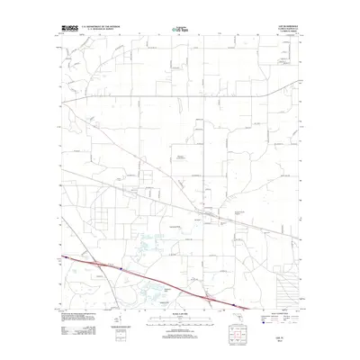
2012 Map of Lee
USGS Topo · Published 2012About this map
Madison County Airport and the surrounding agricultural landscape define this area east of Madison, Florida. The terrain is notably characterized by a complex of karst features, including Lee Sink, Campbell Sink, and Peterson Sink, which indicate the underlying limestone geography of the region. These natural basins appear alongside several water bodies like Riggins Lake, Williamson Pond, and Booze Lake, forming a distinctive hydrological network that flows toward Norton Creek.
Find a feature on this map
92 named features on this map. Tap any name to fly to it.
Don’t see what you’re looking for? This feature index may not catch every label — zoom into the map to look around manually.
Map Details
Editions of this 2012 Lee Map
This is the sole edition of this map. No revisions or reprints were ever made.
Other maps of this area

1954 · Valdosta
USGS Topo · 1:250,000

1956 · Octahatchee
USGS Topo · 1:24,000

1958 · Valdosta
USGS Topo · 1:250,000

1958 · Madison SW
USGS Topo · 1:24,000

1958 · Madison SE
USGS Topo · 1:24,000

1958 · Lee
USGS Topo · 1:24,000

1959 · Valdosta
USGS Topo · 1:250,000

1959 · Madison
USGS Topo · 1:24,000

1959 · Ellaville
USGS Topo · 1:24,000

1959 · Falmouth
USGS Topo · 1:24,000