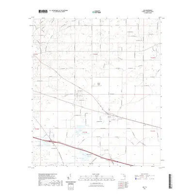
2021 Map of Lee
USGS Topo · Published 2021About this map
The town of Lee serves as the focal point for this Madison County survey, situated at the intersection of local transport routes and agricultural lands. The landscape is defined by its karst topography, evidenced by numerous depressions and water bodies including Peterson Sink, Lee Sink, and Rogers Sink. These geological features, along with names like Booze Lake and Riggins Lake, suggest a terrain where surface water and subterranean drainage systems are closely linked. To the south, the margin of San Pedro Bay indicates the transition into more expansive wetland environments typical of the region.
Find a feature on this map
130 named features on this map. Tap any name to fly to it.
Don’t see what you’re looking for? This feature index may not catch every label — zoom into the map to look around manually.
Map Details
Editions of this 2021 Lee Map
This is the sole edition of this map. No revisions or reprints were ever made.
Other maps of this area

1954 · Valdosta
USGS Topo · 1:250,000

1956 · Octahatchee
USGS Topo · 1:24,000

1958 · Valdosta
USGS Topo · 1:250,000

1958 · Madison SW
USGS Topo · 1:24,000

1958 · Madison SE
USGS Topo · 1:24,000

1958 · Lee
USGS Topo · 1:24,000

1959 · Valdosta
USGS Topo · 1:250,000

1959 · Madison
USGS Topo · 1:24,000

1959 · Ellaville
USGS Topo · 1:24,000

1959 · Falmouth
USGS Topo · 1:24,000