Old Maps of Aquarius Mobile Home Park, Homestead for Academic Research
Study the evolution of Aquarius Mobile Home Park with 13 high-resolution historic maps. Whether you're teaching, researching, or modeling changes in land use, these maps provide essential visual documentation of urban, environmental, and geographic change.
- Analyze long-term change: Track patterns in development, transportation, and natural features.
- Ideal for environmental or urban studies: Support academic projects with primary historical map data.
- Use in the classroom or lab: Educators and researchers rely on these maps to bring historical context to life.
These maps are a powerful tool for teaching, research, and visualizing how Aquarius Mobile Home Park has changed over the decades.
Aquarius Mobile Home Park, Homestead maps
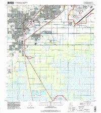
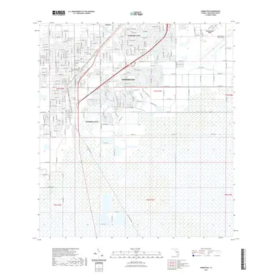
(13)- 1950 Map of Homestead
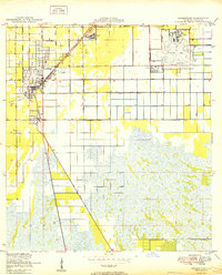 1950 Homestead1950 Print · USGSSouth Florida's agricultural heartland is documented here just after the war, showing the expansion of Homestead and Florida City. Genealogists and historians can trace the early road network of Avocado Drive and the vital Florida East Coast railway.
 - 1956 Map of Homestead, 1957 Print
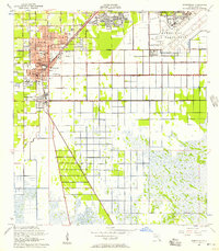 1956 Homestead1957 Print · USGSMid-century South Florida comes alive in this survey of a region transitioning from citrus groves to suburban and military hubs. Trace the parallel routes of the Florida East Coast Railway and Old Dixie Highway past Sacred Heart Sch and the massive Homestead Air Force Base.3 unique versions available
 - 1956 Map of Miami, 1963 Print
 1956 Miami1963 Print · USGSSouthern Florida experiences post-war expansion in the 1950s, even as the wilderness remains dominant across the southern peninsula. Genealogists and historians can trace suburban growth in Opa-locka and Perrine or locate remote sites like the Tamiami Ranger Station.5 unique versions available
 - 1958 Map of Miami
 1958 Miami1958 Print · USGSSoutheast Florida in the late fifties reveals a coastal boom held in balance with the wild sawgrass and mangroves of Everglades National Park. Trace the paths of the Florida East Coast RR through Homestead or locate the U S Marine Corps Air Station during the height of the Cold War.
 - 1982 Map of Homestead, 1983 Print
 1982 Homestead1983 Print · USGSThe transition from South Florida's citrus and military hubs to the wilderness of the Everglades is captured here in the early eighties. Researchers can trace the development of Homestead Air Force Base and find remote sites like the Royal Palm Ranger Station and Flamingo.2 unique versions available
 - 1988 Map of Miami
 1988 Miami1988 Print · USGSSouth Florida in the late eighties shows the sharp edge between the growing urban Atlantic coast and the vast wetlands of Everglades National Park. Researchers can trace the path of the Tamiami Trail and locate coastal settlements like Ochopee or Chokoloskee.
 - 1988 Map of Homestead
 1988 Homestead1988 Print · USGSSouthern Florida at the end of the eighties shows a landscape of rapid suburban growth defined by military installations and vital drainage canals. Genealogists and historians can locate specific neighborhood sites like Sacred Heart Ch, Modello, and the original footprint of Homestead Air Force Base.2 unique versions available
 - 1994 Map of Homestead, 1999 Print
 1994 Homestead1999 Print · USGSSouthern Florida at the end of the twentieth century shows a landscape defined by rapid suburban growth and massive military installations. Local researchers can trace the development of Leisure City or locate community anchors like Sacred Heart Ch and Harris Field.
 - 2012 Map of Homestead, 2012 Print
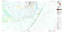
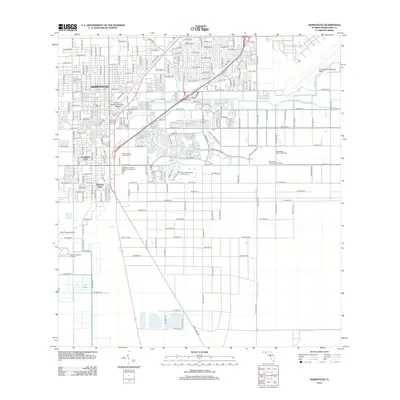 2012 Homestead2012 Print · USGSCovers Aquarius Mobile Home Park, including Homestead, Leisure City, and other nearby areas
 - 2015 Map of Homestead, 2015 Print
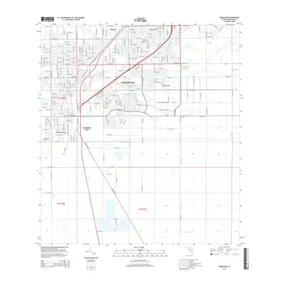 2015 Homestead2015 Print · USGSCovers Aquarius Mobile Home Park, including Homestead, Leisure City, and other nearby areas
 - 2018 Map of Homestead, 2018 Print
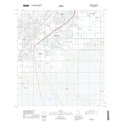 2018 Homestead2018 Print · USGSCovers Aquarius Mobile Home Park, including Homestead, Leisure City, and other nearby areas
 - 2021 Map of Homestead, 2021 Print
 2021 Homestead2021 Print · USGSCovers Aquarius Mobile Home Park, including Homestead, Leisure City, and other nearby areas
 - 2024 Map of Homestead, 2024 Print
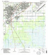
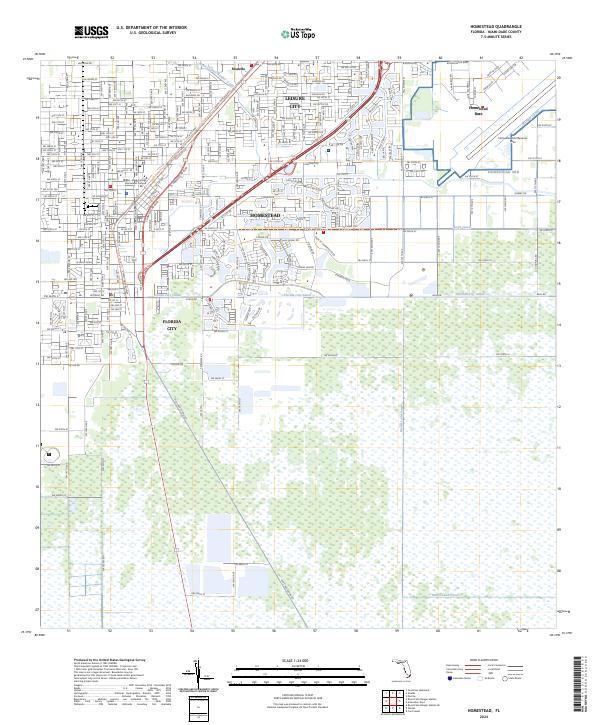 2024 Homestead2024 Print · USGSSouthern Florida at the edge of the Everglades is defined here by its intersection of military infrastructure and tropical agriculture. You can trace the lineage of travel from Old Dixie Hwy to the S Miami-Dade Busway and locate the vast Homestead ARB.
End of results
Showing maps 1-13 of 13
Top cities near Aquarius Mobile Home Park
- Kendall historical maps
- Homestead historical maps
- Cutler Bay historical maps
- Palmetto Bay historical maps
- Leisure City historical maps
- Princeton historical maps
See more
Frequently asked questions
- What are the different types of historical maps available for Aquarius Mobile Home Park?
- What is the oldest map of Aquarius Mobile Home Park?
- Where can I purchase historical maps of Aquarius Mobile Home Park for my home or office?
- Where can I download high-res historical maps of Aquarius Mobile Home Park?
- Are there historical topographic maps available for Aquarius Mobile Home Park?
- Is there historical aerial imagery available for Aquarius Mobile Home Park?
- Where are historical maps of Aquarius Mobile Home Park sourced from?