2000s (21st Century) Maps of Kendall, Florida
Explore 10 historic maps of Kendall from the 2000s (21st Century). These maps offer a rare glimpse into what life looked like during the 2000s — showing old roads, neighborhoods, homes, and landmarks that have changed or disappeared over time.
Whether you're researching your family's past, planning a metal detecting trip, or studying how Kendall's landscape evolved across the 2000s, these high-resolution maps are a powerful tool for exploring the history of this region.
- Focus on a specific era: All maps on this page are from the 2000s, giving you a focused view of this time period.
- See what’s changed: Compare century-old streets, trails, and buildings to today's modern landscape using overlays and satellite layers.
- Research with precision: Use these maps for genealogy, historical research, land use analysis, or educational projects.
- View, download, or print: Maps are fully viewable online in high resolution, and can be downloaded or printed for your own records.
Start exploring Kendall's history through authentic maps from the 2000s. This is your window into the past.
Kendall, FL maps
(10)- 2012 Map of South Miami NW, 2012 Print
 2012 South Miami NW2012 Print · USGSCovers Kendall, including Calusa Manor, Three Lakes, and other nearby areas
 - 2012 Map of South Miami, 2012 Print
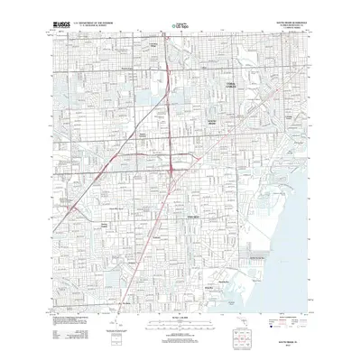 2012 South Miami2012 Print · USGSCovers Kendall, including Miami, Coral Gables, and other nearby areas
 - 2015 Map of South Miami, 2015 Print
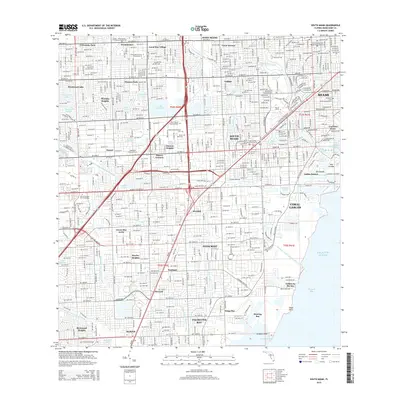 2015 South Miami2015 Print · USGSCovers Kendall, including Miami, Coral Gables, and other nearby areas
 - 2015 Map of South Miami NW, 2015 Print
 2015 South Miami NW2015 Print · USGSCovers Kendall, including Calusa Manor, Three Lakes, and other nearby areas
 - 2018 Map of South Miami NW, 2018 Print
 2018 South Miami NW2018 Print · USGSCovers Kendall, including Calusa Manor, Three Lakes, and other nearby areas
 - 2018 Map of South Miami, 2018 Print
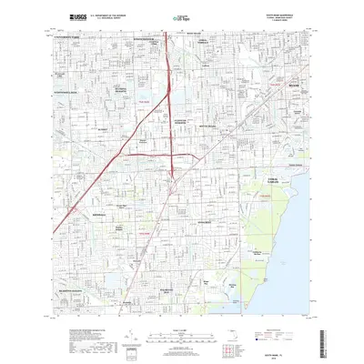 2018 South Miami2018 Print · USGSCovers Kendall, including Miami, Coral Gables, and other nearby areas
 - 2021 Map of South Miami NW, 2021 Print
 2021 South Miami NW2021 Print · USGSCovers Kendall, including Calusa Manor, Three Lakes, and other nearby areas
 - 2021 Map of South Miami, 2021 Print
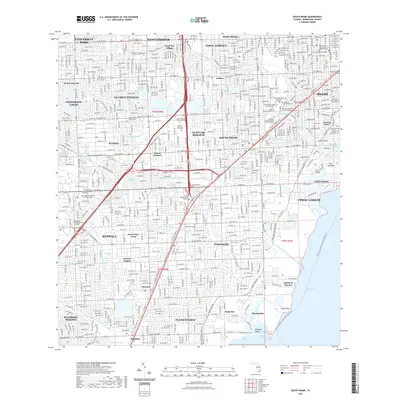 2021 South Miami2021 Print · USGSCovers Kendall, including Miami, Coral Gables, and other nearby areas
 - 2024 Map of South Miami, 2024 Print
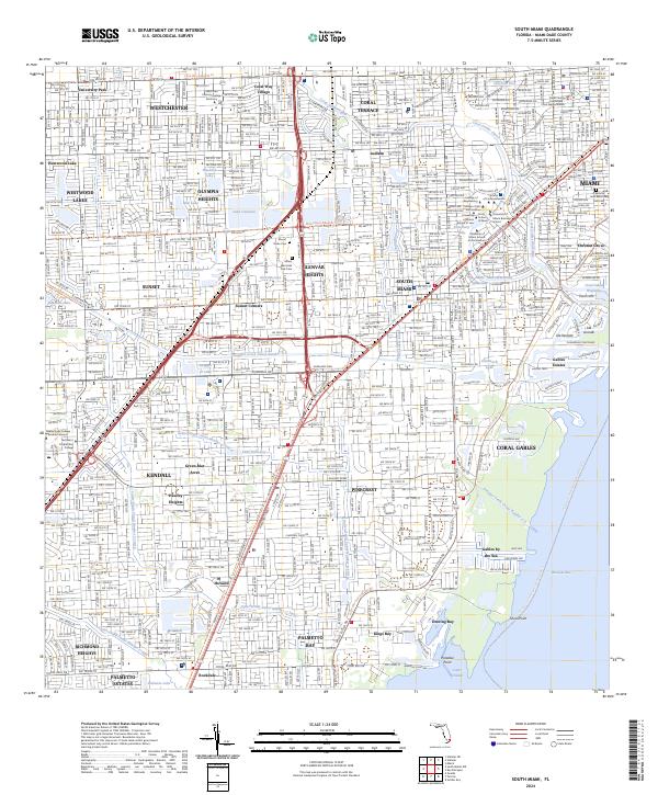 2024 South Miami2024 Print · USGSThe suburbs of Miami-Dade County come into sharp focus in this mid-2020s study of residential and coastal development. Genealogists and historians can locate family landmarks like Mount Nebo Cem, the Venetian Pool, and the Miami Dade College - Kendall Campus.
 - 2024 Map of South Miami NW, 2024 Print
 2024 South Miami NW2024 Print · USGSThe Florida Everglades meet the suburban frontier of Miami-Dade County in this recent survey. Genealogists and local historians can trace the growth of planned communities like The Hammocks and Lindgren Acres alongside the Miami Executive Airport.
End of results
Showing maps 1-10 of 10
Top cities near Kendall
- Miami historical maps
- Hialeah historical maps
- Miami Beach historical maps
- Homestead historical maps
- North Miami historical maps
- Coral Gables historical maps
See more
Top neighborhoods of Kendall
- Green-Mar Acres historical maps
- Howard historical maps
- Hawley Heights historical maps
- Spanish Trace condominiums historical maps
- Centris historical maps
Frequently asked questions
- What are the different types of historical maps available for Kendall?
- What is the oldest map of Kendall?
- Where can I purchase historical maps of Kendall for my home or office?
- Where can I download high-res historical maps of Kendall?
- Are there historical topographic maps available for Kendall?
- Is there historical aerial imagery available for Kendall?
- Where are historical maps of Kendall sourced from?