2000s (21st Century) Maps of Miami, Florida
Explore 20 historic maps of Miami from the 2000s (21st Century). These maps offer a rare glimpse into what life looked like during the 2000s — showing old roads, neighborhoods, homes, and landmarks that have changed or disappeared over time.
Whether you're researching your family's past, planning a metal detecting trip, or studying how Miami's landscape evolved across the 2000s, these high-resolution maps are a powerful tool for exploring the history of this region.
- Focus on a specific era: All maps on this page are from the 2000s, giving you a focused view of this time period.
- See what’s changed: Compare century-old streets, trails, and buildings to today's modern landscape using overlays and satellite layers.
- Research with precision: Use these maps for genealogy, historical research, land use analysis, or educational projects.
- View, download, or print: Maps are fully viewable online in high resolution, and can be downloaded or printed for your own records.
Start exploring Miami's history through authentic maps from the 2000s. This is your window into the past.
Miami, FL maps
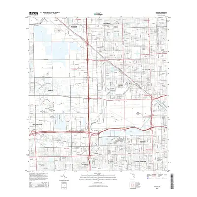
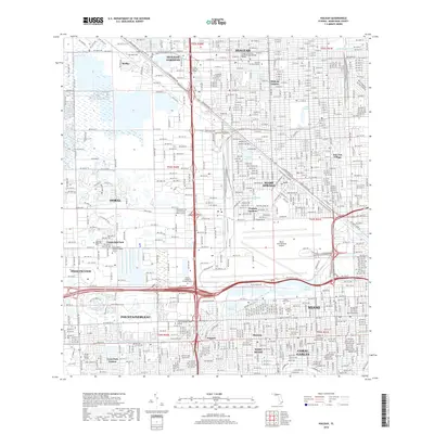
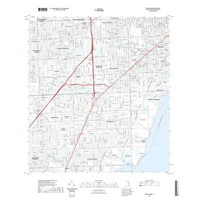
(20)- 2012 Map of Hialeah, 2012 Print
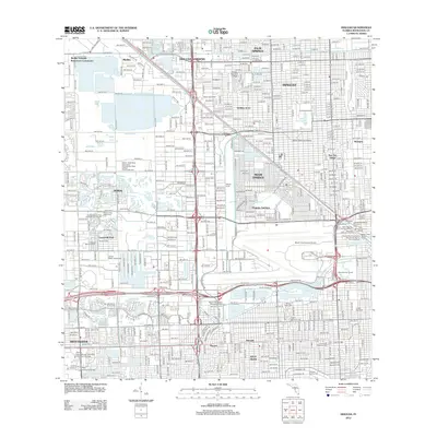 2012 Hialeah2012 Print · USGSCovers Miami, including Hialeah, Doral, and other nearby areas
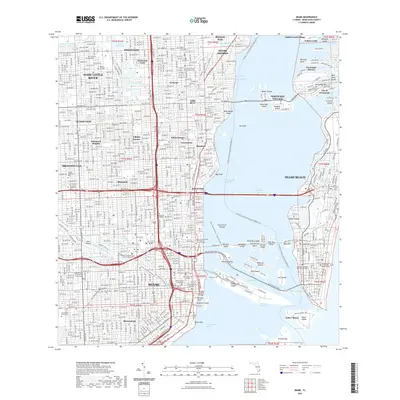
 - 2012 Map of Miami, 2012 Print
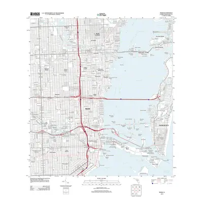 2012 Miami2012 Print · USGSCovers Miami, including Miami Beach, Miami Shores, and other nearby areas
 - 2012 Map of South Miami, 2012 Print
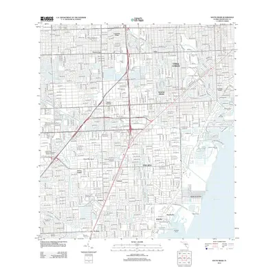 2012 South Miami2012 Print · USGSCovers Miami, including Kendall, Coral Gables, and other nearby areas
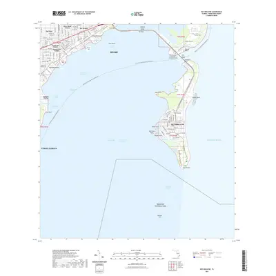
 - 2012 Map of Key Biscayne, 2012 Print
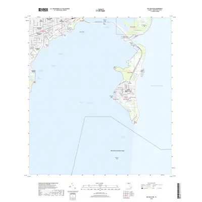
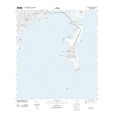 2012 Key Biscayne2012 Print · USGSCovers Miami, including Miami Beach, Key Biscayne, and other nearby areas
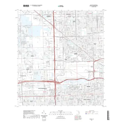
 - 2015 Map of Hialeah, 2015 Print
 2015 Hialeah2015 Print · USGSCovers Miami, including Hialeah, Doral, and other nearby areas
 - 2015 Map of South Miami, 2015 Print
 2015 South Miami2015 Print · USGSCovers Miami, including Kendall, Coral Gables, and other nearby areas
 - 2015 Map of Key Biscayne, 2015 Print
 2015 Key Biscayne2015 Print · USGSCovers Miami, including Miami Beach, Key Biscayne, and other nearby areas
 - 2015 Map of Miami, 2015 Print
 2015 Miami2015 Print · USGSCovers Miami, including Miami Beach, Miami Shores, and other nearby areas
 - 2018 Map of Hialeah, 2018 Print
 2018 Hialeah2018 Print · USGSCovers Miami, including Hialeah, Doral, and other nearby areas
 - 2018 Map of Key Biscayne, 2018 Print
 2018 Key Biscayne2018 Print · USGSCovers Miami, including Miami Beach, Key Biscayne, and other nearby areas
 - 2018 Map of Miami, 2018 Print
 2018 Miami2018 Print · USGSCovers Miami, including Miami Beach, Miami Shores, and other nearby areas
 - 2018 Map of South Miami, 2018 Print
 2018 South Miami2018 Print · USGSCovers Miami, including Kendall, Coral Gables, and other nearby areas
 - 2021 Map of South Miami, 2021 Print
 2021 South Miami2021 Print · USGSCovers Miami, including Kendall, Coral Gables, and other nearby areas
 - 2021 Map of Miami, 2021 Print
 2021 Miami2021 Print · USGSCovers Miami, including Miami Beach, Miami Shores, and other nearby areas
 - 2021 Map of Hialeah, 2021 Print
 2021 Hialeah2021 Print · USGSCovers Miami, including Hialeah, Doral, and other nearby areas
 - 2021 Map of Key Biscayne, 2021 Print
 2021 Key Biscayne2021 Print · USGSCovers Miami, including Miami Beach, Key Biscayne, and other nearby areas
 - 2024 Map of South Miami, 2024 Print
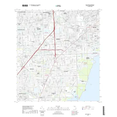
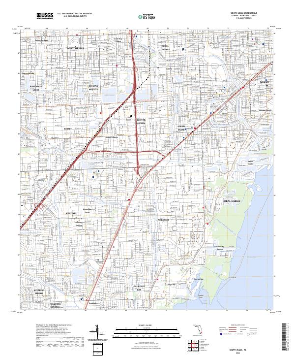 2024 South Miami2024 Print · USGSThe suburbs of Miami-Dade County come into sharp focus in this mid-2020s study of residential and coastal development. Genealogists and historians can locate family landmarks like Mount Nebo Cem, the Venetian Pool, and the Miami Dade College - Kendall Campus.
 - 2024 Map of Miami, 2024 Print
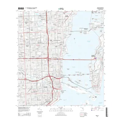
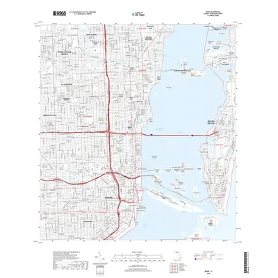
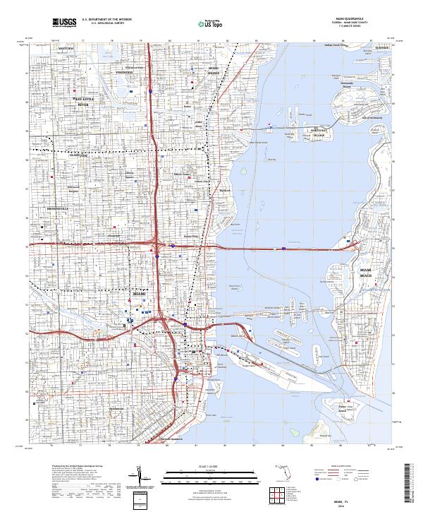 2024 Miami2024 Print · USGSThe Miami waterfront and its iconic barrier islands are shown here in detail during the early 2020s. Trace the urban landscape from the City of Miami Cemetery to the historic Liberty Square and the various islands of Biscayne Bay.
 - 2024 Map of Hialeah, 2024 Print
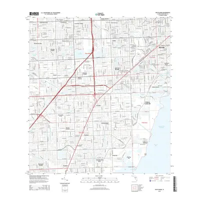
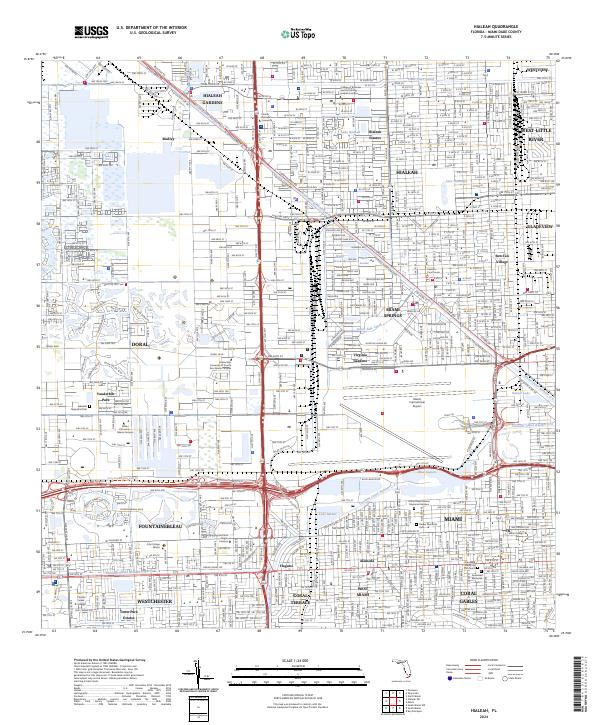 2024 Hialeah2024 Print · USGSMiami-Dade County comes alive in this current-era survey, showing the dense urban development surrounding the airport and the canal system. Researchers can trace local landmarks like Sun-Tan Village, Miami International Airport, and Flagler Memorial Park.
 - 2024 Map of Key Biscayne, 2024 Print
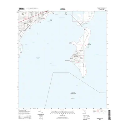
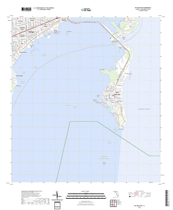 2024 Key Biscayne2024 Print · USGSCoastal Miami and its barrier islands are captured in this contemporary survey of the region's shoreline and residential development. Local historians can trace the urban layout of Coconut Grove or explore the marine geography of Virginia Key and Cape Florida.
End of results
Showing maps 1-20 of 20
Top cities near Miami
- Hialeah historical maps
- Pembroke Pines historical maps
- Kendall historical maps
- Miramar historical maps
- Miami Gardens historical maps
- Miami Beach historical maps
See more
Top neighborhoods of Miami
- Fronton Trailer Park historical maps
- Alameda historical maps
- HMS Bounty historical maps
- Liberty Square historical maps
- Bayshore historical maps
- South Bay Estates historical maps
See more
Frequently asked questions
- What are the different types of historical maps available for Miami?
- What is the oldest map of Miami?
- Where can I purchase historical maps of Miami for my home or office?
- Where can I download high-res historical maps of Miami?
- Are there historical topographic maps available for Miami?
- Is there historical aerial imagery available for Miami?
- Where are historical maps of Miami sourced from?