Old Maps of Fernandina Beach, Florida for Academic Research
Study the evolution of Fernandina Beach with 23 high-resolution historic maps. Whether you're teaching, researching, or modeling changes in land use, these maps provide essential visual documentation of urban, environmental, and geographic change.
- Analyze long-term change: Track patterns in development, transportation, and natural features.
- Ideal for environmental or urban studies: Support academic projects with primary historical map data.
- Use in the classroom or lab: Educators and researchers rely on these maps to bring historical context to life.
These maps are a powerful tool for teaching, research, and visualizing how Fernandina Beach has changed over the decades.
Fernandina Beach, FL maps
(23)- 1919 Map of Fernandina
 1919 Fernandina1919 Print · USGSCoastal Florida and Georgia meet at the mouth of the St Marys River in this survey from the late nineteen-teens. Historians can trace the early waterfront at Fernandina, the military grounds of Ft Clinch, and the remote settlement of Franklintown.4 unique versions available
 - 1944 Map of Fernandina
 1944 Fernandina1944 Print · USGSThe Florida-Georgia borderlands come to life in this mid-forties coastal survey of Nassau County and its barrier islands. Genealogists and historians can trace the early footprints of Old Fernandina and Franklintown or locate landmarks like Ft Clinch and the U S Quarantine Sta.
 - 1948 Map of Jacksonville
 1948 Jacksonville1948 Print · USGSNortheast Florida and Southeast Georgia's coastal waterways and railroad towns are captured here in the years following the war. Genealogists can trace family connections through river towns like St Marys or identify long-standing military landmarks like Jacksonville NAS.
 - 1957 Map of Jacksonville, 1967 Print
 1957 Jacksonville1967 Print · USGSCoastal Florida and Georgia meet in the late fifties, showcasing a landscape of naval aviation, deep-water terminals, and barrier island communities. Researchers can trace the mid-century footprints of NAS Jacksonville, find small communities like Franklintown, and locate the historic Fort Clinch State Park.3 unique versions available
 - 1958 Map of Fernandina Beach, 1959 Print
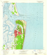 1958 Fernandina Beach1959 Print · USGSCoastal Nassau County comes alive in the late fifties, showcasing the intricate tidal marshes and maritime boundaries of the Florida-Georgia line. Researchers can trace the layout of Fernandina Beach, from St Josephs Academy to the historic Amelia Island Lighthouse.2 unique versions available
 - 1958 Map of Amelia City, 1959 Print
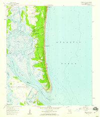 1958 Amelia City1959 Print · USGSCoastal Amelia Island is captured here in the late fifties, showing the barrier island's early settlements and vast marsh systems. Researchers can locate the historic community of American Beach, the site of St Pauls Ch, and the winding Buccaneer Trail.6 unique versions available
 - 1959 Map of Jacksonville
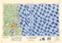 1959 Jacksonville1959 Print · USGSNortheast Florida and Southeast Georgia are seen here in the late fifties, dominated by the maritime activity of the St Johns River and the Atlantic coast. Researchers can trace the mid-century layout of Jacksonville and identify sprawling military sites like Camp Blanding Military Reservation and Kings Bay Ammunition Terminal.
 - 1960 Map of Jacksonville
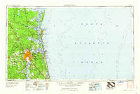 1960 Jacksonville1960 Print · USGSCoastal Florida and Georgia meet in this mid-century portrait of a region shaped by naval power and the winding St Johns River. Researchers can trace the development of military sites like Cecil Field or locate historic rural landmarks such as Jerusalem Ch and Kings Ferry.
 - 1981 Map of Fernandina Beach
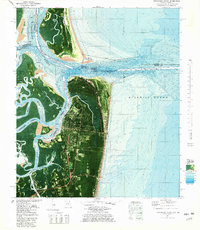 1981 Fernandina Beach1981 Print · USGSCoastal Florida and Georgia meet at this maritime crossroads in the early eighties, where river and ocean currents converge. Trace the historic fortifications of Fort Clinch and the layout of Old Fernandina alongside the Amelia Island Lighthouse.4 unique versions available
 - 1981 Map of Fernandina Beach, 1982 Print
 1981 Fernandina Beach1982 Print · USGSThe coastal borderlands of Georgia and Florida are captured here in the early eighties, from the barrier islands to the rail towns of the interior. Genealogists and historians can trace family-named bluffs and sites like Franklintown, Dungeness Wharf, and St Marys Historical Park.3 unique versions available
 - 1988 Map of Jacksonville
 1988 Jacksonville1988 Print · USGSCoastal Florida and Georgia are captured here during the late eighties, documenting the rapid growth of the First Coast and its vital military installations. Researchers can trace the development of beach communities like Fernandina Beach and Atlantic Beach or locate family landmarks near Mickler Landing and Orange Park.
 - 1994 Map of Fernandina Beach, 2002 Print
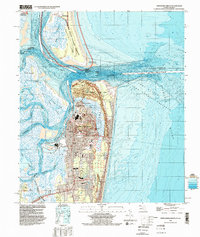 1994 Fernandina Beach2002 Print · USGSAmelia Island and the Georgia-Florida border are captured here in the mid-nineties, showing the intersection of coastal history and modern infrastructure. Genealogists and historians can locate Old Fernandina, Bosque Bello Cem, and schools like Southside Sch.
 - 2011 Map of Fernandina Beach, 2011 Print
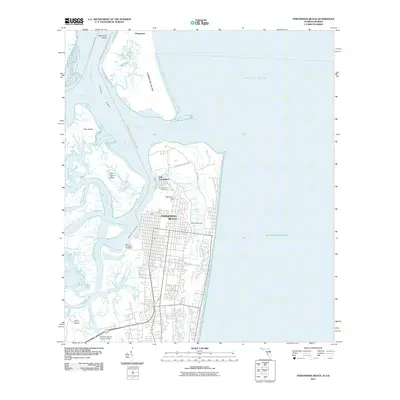 2011 Fernandina Beach2011 Print · USGSAmelia Island and the Georgia border are mapped here in the early twenty-first century, showing the intersection of industrial wharves and historic preservation. Researchers can trace the layout of Old Fernandina, find the Bosquebello Cemetery, and locate the Amelia Island Light overlooking the Atlantic.
 - 2012 Map of Fernandina Beach, 2012 Print
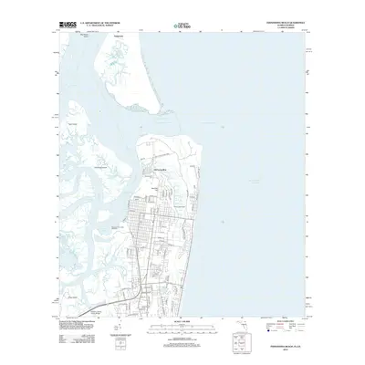 2012 Fernandina Beach2012 Print · USGSCoastal Amelia Island at the turn of the decade showcases a busy maritime hub where industrial wharves meet protected state lands. Researchers can trace historic sites like Bosquebello Cem and the Amelia Island Light or explore the rail-and-river network of the Seaboard Air Line RR.
 - 2012 Map of Amelia City, 2012 Print
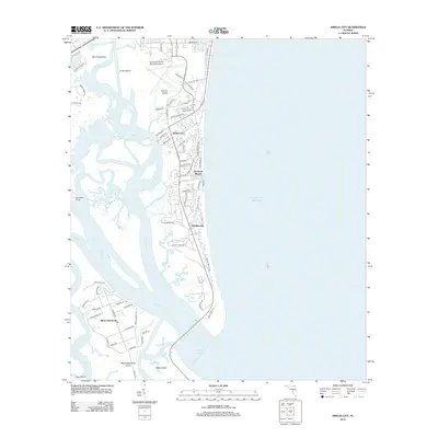 2012 Amelia City2012 Print · USGSCoastal Nassau and Duval counties are shown in detail a decade ago, where island life meets the sea. Researchers can trace the development of American Beach and Franklintown or locate family properties near Black Hammock and the S Amelia River.
 - 2015 Map of Amelia City, 2015 Print
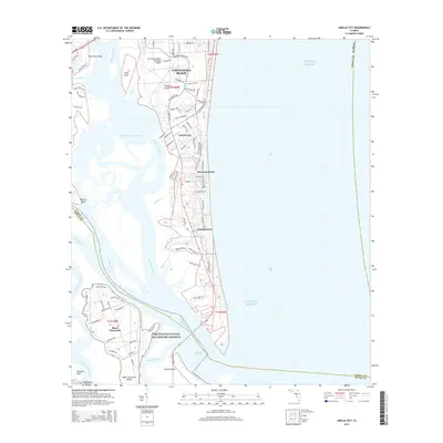 2015 Amelia City2015 Print · USGSAmelia Island and the surrounding coastal marshlands are detailed in this recent look at Nassau and Duval counties. Historians can trace the development of American Beach and Franklintown alongside the Timucuan Ecological and Historic Preserve.
 - 2015 Map of Fernandina Beach, 2015 Print
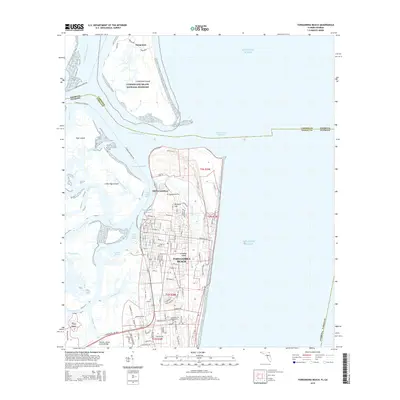 2015 Fernandina Beach2015 Print · USGSCoastal Florida and Georgia meet at this maritime crossroads in the mid-2010s, centered on the historic port and defensive positions of Amelia Island. Genealogists and historians can trace the streets of Fernandina Beach, the grounds of Fort Clinch, and the ancient headstones at Bosquebello Cem.
 - 2018 Map of Fernandina Beach, 2018 Print
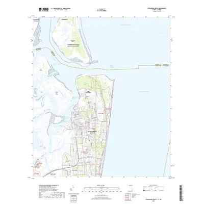 2018 Fernandina Beach2018 Print · USGSAmelia Island and the Florida-Georgia border appear in high detail during the late twenty-teens. Historians can trace the streets of Old Fernandina, locate the Bosquebello Cem, and explore the coastal defenses at Fort Clinch.
 - 2018 Map of Amelia City, 2018 Print
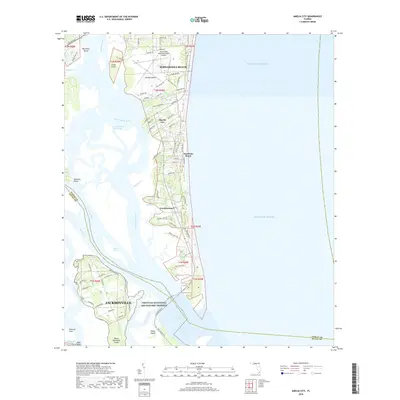 2018 Amelia City2018 Print · USGSThe northern Florida coast comes into sharp focus during the late 2010s, detailing the developed corridors of the barrier islands. Researchers can trace local communities like Amelia City and Franklintown or explore the protected marshes of the Timucuan Ecological and Historic Preserve.
 - 2021 Map of Amelia City, 2021 Print
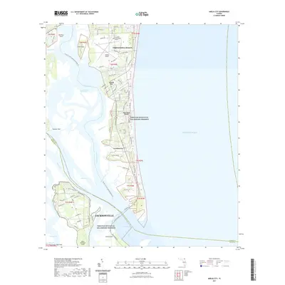 2021 Amelia City2021 Print · USGSAmelia Island's barrier landscape is captured here in the early twenty-first century as modern development borders massive coastal preserves. Genealogists and historians can trace the neighborhoods of American Beach and Franklintown or locate landmarks like the Fernandina Beach Municipal Airport.
 - 2021 Map of Fernandina Beach, 2021 Print
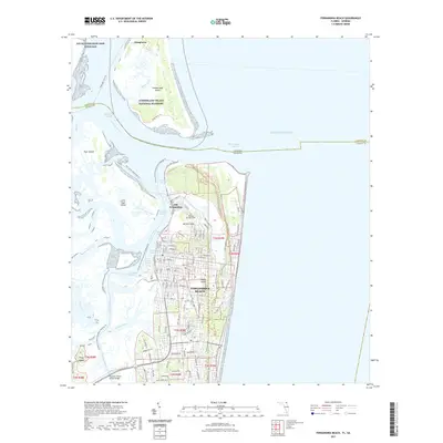 2021 Fernandina Beach2021 Print · USGSCoastal Florida and Georgia meet in this recent survey of the sea islands and their deep-water channels. Researchers can trace the transition from Old Fernandina to modern Fernandina Beach, or locate landmarks like Bosque Bello Cem and Fort Clinch.
 - 2024 Map of Amelia City, 2024 Print
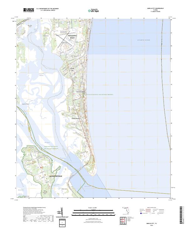 2024 Amelia City2024 Print · USGSNassau County's barrier islands and maritime forests are detailed in the 2020s, showing the settled coastal reaches of Amelia Island. Researchers can trace the layout of American Beach, locate Franklintown, or study the expansive Timucuan Ecological and Historic Preserve.
 - 2024 Map of Fernandina Beach, 2024 Print
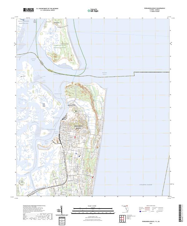 2024 Fernandina Beach2024 Print · USGSAmelia Island and the Georgia-Florida borderlands come into sharp focus in this modern survey of the Nassau County coast. Researchers can trace the historic streets of Fernandina Beach, locate the Bosque Bello Cem, and explore the northern reaches of Fort Clinch State Park.
End of results
Showing maps 1-23 of 23
Frequently asked questions
- What are the different types of historical maps available for Fernandina Beach?
- What is the oldest map of Fernandina Beach?
- Where can I purchase historical maps of Fernandina Beach for my home or office?
- Where can I download high-res historical maps of Fernandina Beach?
- Are there historical topographic maps available for Fernandina Beach?
- Is there historical aerial imagery available for Fernandina Beach?
- Where are historical maps of Fernandina Beach sourced from?