Old Maps of Elde Oro West, Largo for Academic Research
Study the evolution of Elde Oro West with 27 high-resolution historic maps. Whether you're teaching, researching, or modeling changes in land use, these maps provide essential visual documentation of urban, environmental, and geographic change.
- Analyze long-term change: Track patterns in development, transportation, and natural features.
- Ideal for environmental or urban studies: Support academic projects with primary historical map data.
- Use in the classroom or lab: Educators and researchers rely on these maps to bring historical context to life.
These maps are a powerful tool for teaching, research, and visualizing how Elde Oro West has changed over the decades.
Elde Oro West, Largo maps
(27)- 1921 Map of Sand Key
 1921 Sand Key1921 Print · USGSThe Pinellas peninsula comes alive in this early tactical survey of the gulf coast at the dawn of the Roaring Twenties. Genealogists and historians can trace early settlement patterns in Largo, Clearwater, and Anona before the post-war building boom.
 - 1921 Map of St Petersburg
 1921 St Petersburg1921 Print · USGSThe Pinellas Peninsula just after the First World War shows a world of mangrove swamps, tidal bayous, and emerging settlements. Genealogists and local historians can trace early neighborhood footprints and coastal landmarks from Pinellas Park and Lealman to the growing streets of St. Petersburg.2 unique versions available
 - 1943 Map of Safety Harbor
 1943 Safety Harbor1943 Print · USGSThe Pinellas County coast in the early 1940s is captured here during a period of wartime growth and coastal development. Genealogists and historians can trace old homesteads near Coachman, the expansion of Pinellas Army Airfield, and the route of the Davis Causeway.
 - 1943 Map of Clearwater, 1952 Print
 1943 Clearwater1952 Print · USGSCoastal Pinellas County comes alive in the mid-1940s, showing the early footprints of coastal resorts and citrus-era rail towns. Trace the old rail lines of the Seaboard Air Line or locate landmarks like the Biltmore Hotel and the Pinellas Co Fair Grounds.3 unique versions available
 - 1947 Map of Safety Harbor, 1952 Print
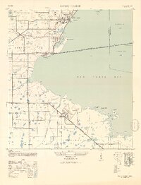 1947 Safety Harbor1952 Print · USGSThe western shores of Old Tampa Bay appear here in the mid-1940s, highlighting a landscape transitioning from agricultural precincts to a strategic military hub. Researchers can locate the sprawling Pinellas Army Airfield, the town of Safety Harbor, and the path of the Davis Causeway.2 unique versions available
 - 1952 Map of Safety Harbor
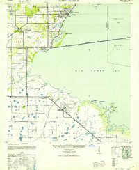 1952 Safety Harbor1952 Print · USGSCoastal Pinellas County comes into focus during the early postwar years, showing a landscape of small settlements and military aviation. Trace the historic route of the Davis Causeway and its Toll House, or locate the runways of the Pinellas Army Airfield.
 - 1956 Map of Safety Harbor, 1957 Print
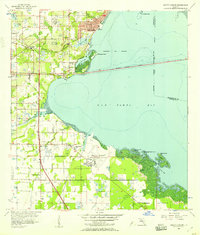 1956 Safety Harbor1957 Print · USGSPinellas County's eastern shore is captured in the mid-fifties, showing the growth of coastal towns before the era of intensive development. Genealogists and historians can locate early family landmarks like McMullen Cem, the Drive-in Theater, and Safety Harbor.5 unique versions available
 - 1956 Map of Tampa, 1964 Print
 1956 Tampa1964 Print · USGSThe Florida Gulf Coast thrived in the mid-fifties, from the bustling docks of Tampa to the quiet shores of Sanibel. Genealogists and historians can trace old rail lines like the Atlantic Coast Line or find early layouts of Port Charlotte and Bokeelia.2 unique versions available
 - 1959 Map of Tampa
 1959 Tampa1959 Print · USGSThe Florida Gulf Coast appears in this late fifties survey during a period of steady coastal growth and established rail commerce. Researchers can trace historic neighborhoods and transit lines from Tampa to St Petersburg, or locate landmarks like Mac Dill AFB and Boca Grande.
 - 1960 Map of Tampa
 1960 Tampa1960 Print · USGSThe Florida Gulf Coast was undergoing a major transformation at the start of the sixties, with new bridges linking burgeoning cities across the bays. Researchers can trace the mid-century footprints of St Petersburg and Tampa, or locate coastal landmarks like Mac Dill AFB and the Sunshine Skyway.2 unique versions available
 - 1972 Map of Tampa, 1974 Print
 1972 Tampa1974 Print · USGSThe Florida Gulf Coast appears in a period of significant growth during the early seventies, from the urban centers of the bay to the quiet southern keys. Researchers can trace the expansion of St Petersburg or locate family sites near Safety Harbor, Valrico, and Boca Ciega.
 - 1974 Map of Clearwater, 1976 Print
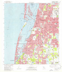 1974 Clearwater1976 Print · USGSThe Pinellas County coastline shows extensive mid-century development and dredging just before the mid-seventies. Trace local history through landmarks like the Rousseau Pioneer Cem, the Seaboard Coast Line tracks, and the Pinellas Plant.2 unique versions available
 - 1981 Map of St Petersburg, 1983 Print
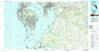 1981 St Petersburg1983 Print · USGSThe Tampa Bay region is shown here in the early eighties as the urban centers of St Petersburg and Tampa expanded along the coastline. Genealogists and historians can trace rail lines like the Seaboard Coast Line and landmarks from Mac Dill Air Force Base to the Sunshine Skyway.
 - 1988 Map of St Petersburg
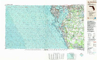 1988 St Petersburg1988 Print · USGSThe Florida Gulf Coast reached a peak of late-twentieth-century development as seen in this late-1980s look at the growing corridor from St Petersburg to Port Charlotte. Researchers can trace the expansion of coastal infrastructure, including MacDill Air Force Base, the Seaboard System RR, and regional parks like Fort De Soto Park.
 - 1995 Map of Clearwater, 2000 Print
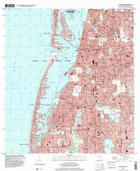 1995 Clearwater2000 Print · USGSPinellas County's Gulf coast appears at a peak of late-century development, showing the dense suburban expansion of Clearwater and Largo. Genealogists and historians can locate neighborhood landmarks like Anona Sch, St Pauls Ch, and the St Petersburg NW Base.
 - 1998 Map of Safety Harbor, 2001 Print
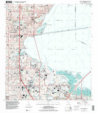 1998 Safety Harbor2001 Print · USGSThe Pinellas County coastline was heavily developed by the late nineties, featuring a network of schools and civic spaces along Old Tampa Bay. Genealogists and local historians can trace legacy sites like the McMullen Cem and Haines Road Ch alongside the Saint Petersburg-Clearwater International Airport.
 - 2012 Map of Safety Harbor, 2012 Print
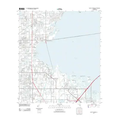 2012 Safety Harbor2012 Print · USGSCoastal Pinellas County comes into focus in the early twenty-first century as suburban neighborhoods and major transit routes wrap around the inlets of Old Tampa Bay. Researchers can trace local heritage at Sylvan Abbey Memorial Park Cem or locate the grounds of Florida Beacon Bible College.
 - 2012 Map of Clearwater, 2012 Print
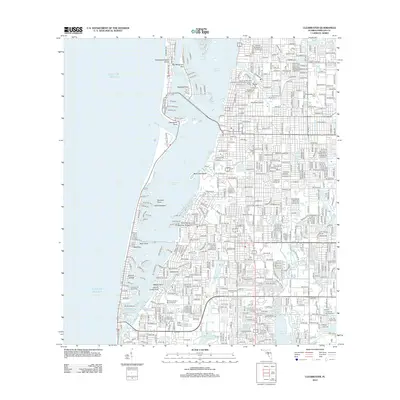 2012 Clearwater2012 Print · USGSCoastal Pinellas County comes into sharp focus during the early twenty-first century, showing the dense suburban development along the Gulf. Researchers can trace land use from the Rousseau Pioneer Cem to modern landmarks like Jack Russell Stadium and Sand Key Park.
 - 2015 Map of Safety Harbor, 2015 Print
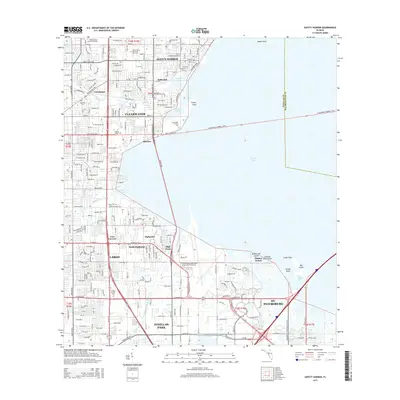 2015 Safety Harbor2015 Print · USGSThe Pinellas County coastline and its sprawling suburban interior are captured here during a period of intense modern development. Researchers can trace local heritage through landmarks like Sylvan Abbey Memorial Park Cem, McMullen Cem, and the historic waterfront of Safety Harbor.
 - 2015 Map of Clearwater, 2015 Print
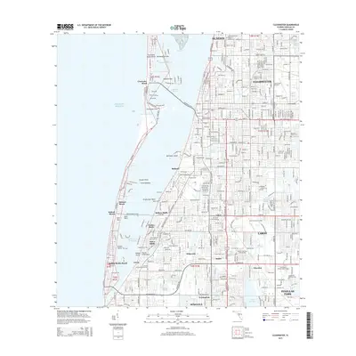 2015 Clearwater2015 Print · USGSThe Pinellas County coastline comes into sharp focus during the mid-2010s, showing the dense residential and maritime growth of the Clearwater area. Researchers can trace local landmarks like Rousseau Pioneer Cem, the Clearwater Air Park, and the development around Taylor Lake.
 - 2018 Map of Clearwater, 2018 Print
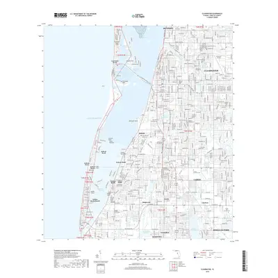 2018 Clearwater2018 Print · USGSThe Pinellas County coast in the late 2010s shows a landscape of interconnected barrier islands and thriving suburban centers. Researchers can trace historic burial sites like Rousseau Pioneer Cem or locate regional landmarks like Clearwater Air Park and Everest University-Largo.
 - 2018 Map of Safety Harbor, 2018 Print
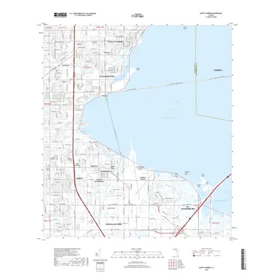 2018 Safety Harbor2018 Print · USGSThe Pinellas peninsula and the waters of Old Tampa Bay are shown here in the late 2010s during a period of intense coastal development. Researchers can trace neighborhood growth in Clearwater and Oldsmar or locate family sites at McMullen Cem.
 - 2021 Map of Safety Harbor, 2021 Print
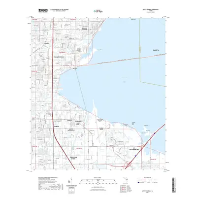 2021 Safety Harbor2021 Print · USGSThe Pinellas County coastline comes into sharp focus in this recent survey of the bustling corridor between Tampa Bay and the Gulf. Genealogists and local historians can pinpoint McMullen Cem, the St Pete-Clearwater International Airport, and Safety Harbor.
 - 2021 Map of Clearwater, 2021 Print
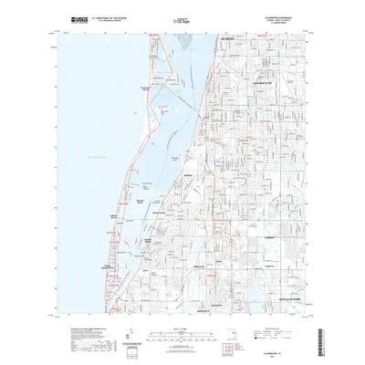 2021 Clearwater2021 Print · USGSCoastal Pinellas County comes into sharp focus in this contemporary survey of the barrier islands and mainland corridor. Researchers can trace the layout of early landmarks like the Rousseau Pioneer Cem alongside modern developments in Belleair Bluffs and LARGO.
 - 2024 Map of Safety Harbor, 2024 Print
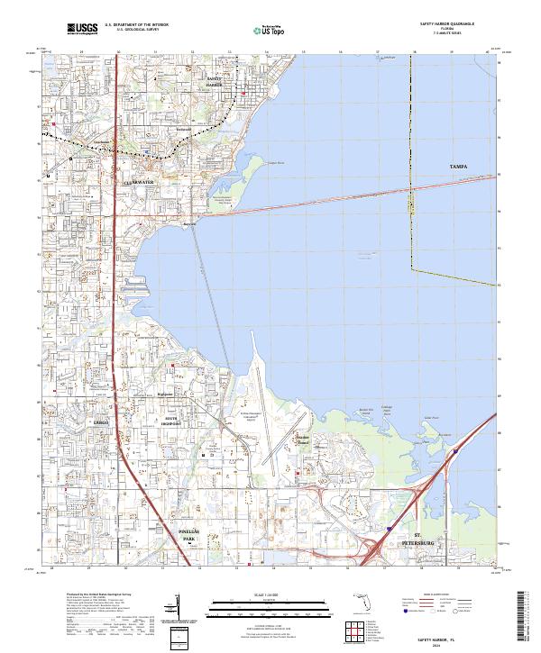 2024 Safety Harbor2024 Print · USGSThe Pinellas County shoreline during the early twenty-first century reveals a landscape of dense coastal suburbanization. Trace local history through Safety Harbor Cem, the St Pete-Clearwater International Airport, and the Cross Bayou Canal.
Showing maps 1-25 of 27
Frequently asked questions
- What are the different types of historical maps available for Elde Oro West?
- What is the oldest map of Elde Oro West?
- Where can I purchase historical maps of Elde Oro West for my home or office?
- Where can I download high-res historical maps of Elde Oro West?
- Are there historical topographic maps available for Elde Oro West?
- Is there historical aerial imagery available for Elde Oro West?
- Where are historical maps of Elde Oro West sourced from?