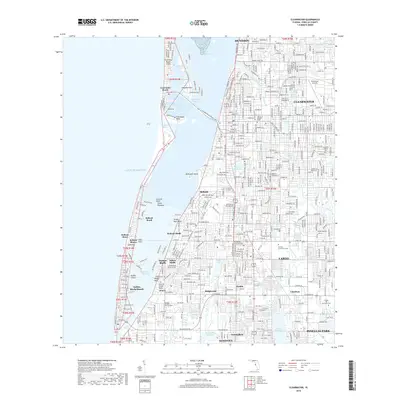
2018 Map of Clearwater
USGS Topo · Published 2018About this map
The Pinellas County coastline and its dense urban development characterize this late 2010s survey, illustrating the complex geography of barrier islands and inland waterways. Clearwater Harbor and the Intracoastal Waterway separate the mainland from Clearwater Beach Island and Sand Key, where communities like Belleair Beach and Belleair Shore occupy narrow strips of land between the Gulf of Mexico and the bay.
Find a feature on this map
71 named features on this map. Tap any name to fly to it.
Don’t see what you’re looking for? This feature index may not catch every label — zoom into the map to look around manually.
Map Details
Editions of this 2018 Clearwater Map
This is the sole edition of this map. No revisions or reprints were ever made.
Other maps of this area
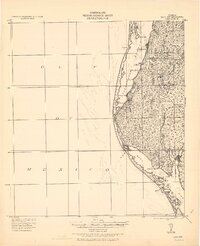
1921 · Sand Key
USGS Topo · 1:62,500
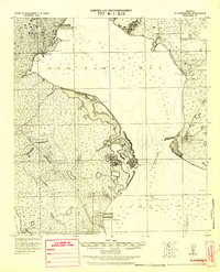
1921 · St Petersburg
USGS Topo · 1:62,500
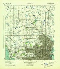
1943 · St Petersburg
USGS Topo · 1:31,680
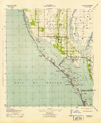
1943 · Bay Pines
USGS Topo · 1:31,680
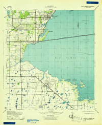
1943 · Safety Harbor
USGS Topo · 1:31,680
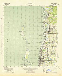
1943 · Dunedin
USGS Topo · 1:31,680
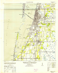
1943 · Clearwater
USGS Topo · 1:24,000
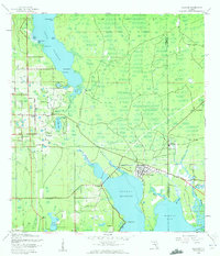
1943 · Oldsmar
USGS Topo · 1:24,000
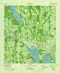
1944 · Oldsmar
USGS Topo · 1:31,680
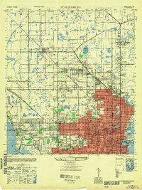
1947 · St Petersburg
USGS Topo · 1:25,000