Old Maps of Eaton Park, Florida for Hiking & Exploration
Hike through history with 13 historic maps of Eaton Park. Explore old trails, ghost towns, and forgotten backroads — perfect for outdoor adventurers and local explorers.
- Rediscover forgotten places: Map out old mining camps, roads, and footpaths that no longer exist on modern maps.
- Layer with modern tools: Combine with LiDAR or satellite views to plan hikes through historical terrain.
- Made for exploration: Popular among hikers, overlanders, and local history lovers.
Use these maps to find adventure and explore the hidden past of Eaton Park.
Eaton Park, FL maps
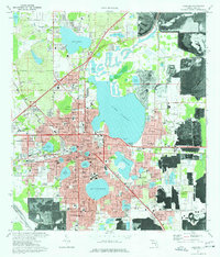
(13)- 1944 Map of Lakeland
 1944 Lakeland1944 Print · USGSMid-century Lakeland is a hub of citrus, phosphate, and rail activity just as the wartime economy was peaking. Genealogists can trace family connections to Gibsonia and Eaton Park or locate the Roselawn Cem, Gapway Ch, and Combee School.2 unique versions available
 - 1955 Map of Orlando, 1969 Print
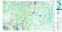
 1955 Orlando1969 Print · USGSCentral Florida was entering the space age in the mid-fifties, balancing its citrus heritage with new military and aerospace frontiers. You can trace early developments at Kennedy Space Center or locate interior settlements like Eatonville and Pine Castle.3 unique versions available
 - 1957 Map of Orlando
 1957 Orlando1957 Print · USGSCovers Eaton Park, including Orlando, Palm Bay, and other nearby areas
 - 1958 Map of Orlando
 1958 Orlando1958 Print · USGSCentral Florida was a landscape of citrus, rail, and emerging aerospace technology during the late fifties. Researchers can trace the early footprints of Cape Canaveral and Patrick Air Force Base or locate inland citrus and rail hubs like Sanford and Lakeland.
 - 1962 Map of Orlando
 1962 Orlando1962 Print · USGSCentral Florida was transformed by aerospace and citrus at the start of the sixties. Genealogists and historians can trace old community footprints from Eau Gallie to Leesburg, alongside landmarks like McCoy AFB and the winding Econlockhatchee River.
 - 1975 Map of Lakeland, 1976 Print
 1975 Lakeland1976 Print · USGSMid-century Lakeland is a landscape of growing neighborhoods and industry integrated among dozens of prominent lakes. Genealogists and historians can trace the footprint of Florida Southern College or find family sites at Griffin Cem and Roselawn Cem.3 unique versions available
 - 1979 Map of Kissimmee, 1980 Print
 1979 Kissimmee1980 Print · USGSCentral Florida entered a period of explosive growth in the late seventies as theme parks and aviation transformed the landscape. Researchers can trace the legacy of citrus and rail in Haines City and Winter Haven, or locate old lakeside settlements like Narcoossee and Pine Castle.
 - 1994 Map of Lakeland, 2000 Print
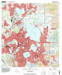 1994 Lakeland2000 Print · USGSLakeland and its surroundings are shown in the mid-nineties as the region successfully transitioned former industrial lands into extensive recreation areas. Genealogists and local historians can locate several landmarks like Roselawn Cem, Griffin Cem, and the campus of Florida Southern.
 - 2012 Map of Lakeland, 2012 Print
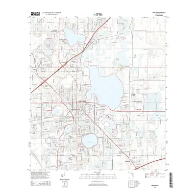
 2012 Lakeland2012 Print · USGSCovers Eaton Park, including Lakeland, Rawls Park, and other nearby areas
 - 2015 Map of Lakeland, 2015 Print
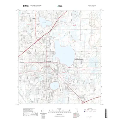
 2015 Lakeland2015 Print · USGSCovers Eaton Park, including Lakeland, Rawls Park, and other nearby areas
 - 2018 Map of Lakeland, 2018 Print
 2018 Lakeland2018 Print · USGSCovers Eaton Park, including Lakeland, Rawls Park, and other nearby areas
 - 2021 Map of Lakeland, 2021 Print
 2021 Lakeland2021 Print · USGSCovers Eaton Park, including Lakeland, Rawls Park, and other nearby areas
 - 2024 Map of Lakeland, 2024 Print
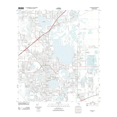
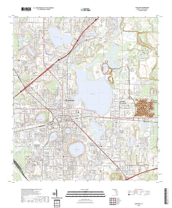 2024 Lakeland2024 Print · USGSLakeland and its surrounding lake-strewn landscape are documented here in the early 2020s as the city continues its modern expansion. Researchers can find numerous historic cemeteries like Tiger Flowers Cem and university campuses near Lake Morton and Lake Hollingsworth.
End of results
Showing maps 1-13 of 13
Top cities near Eaton Park
- Lakeland historical maps
- Winter Haven historical maps
- Plant City historical maps
- Bartow historical maps
- Auburndale historical maps
- Fort Meade historical maps
See more
Frequently asked questions
- What are the different types of historical maps available for Eaton Park?
- What is the oldest map of Eaton Park?
- Where can I purchase historical maps of Eaton Park for my home or office?
- Where can I download high-res historical maps of Eaton Park?
- Are there historical topographic maps available for Eaton Park?
- Is there historical aerial imagery available for Eaton Park?
- Where are historical maps of Eaton Park sourced from?