2000s (21st Century) Maps of Fort Meade, Florida
Explore 10 historic maps of Fort Meade from the 2000s (21st Century). These maps offer a rare glimpse into what life looked like during the 2000s — showing old roads, neighborhoods, homes, and landmarks that have changed or disappeared over time.
Whether you're researching your family's past, planning a metal detecting trip, or studying how Fort Meade's landscape evolved across the 2000s, these high-resolution maps are a powerful tool for exploring the history of this region.
- Focus on a specific era: All maps on this page are from the 2000s, giving you a focused view of this time period.
- See what’s changed: Compare century-old streets, trails, and buildings to today's modern landscape using overlays and satellite layers.
- Research with precision: Use these maps for genealogy, historical research, land use analysis, or educational projects.
- View, download, or print: Maps are fully viewable online in high resolution, and can be downloaded or printed for your own records.
Start exploring Fort Meade's history through authentic maps from the 2000s. This is your window into the past.
Fort Meade, FL maps
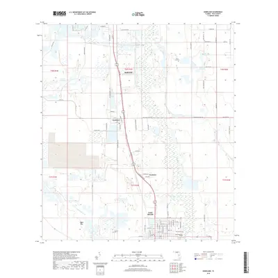
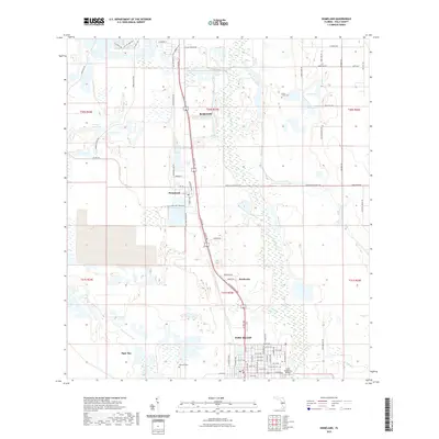
(10)- 2012 Map of Bowling Green, 2012 Print
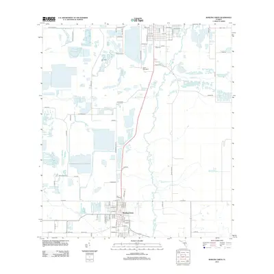 2012 Bowling Green2012 Print · USGSCovers Fort Meade, including Bowling Green, Polk County, and other nearby areas
 - 2012 Map of Homeland, 2012 Print
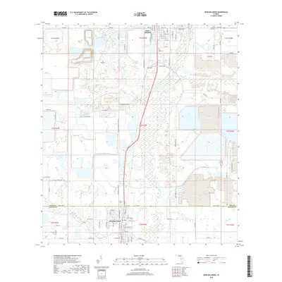
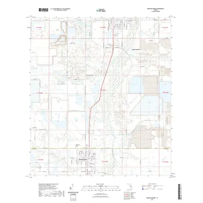
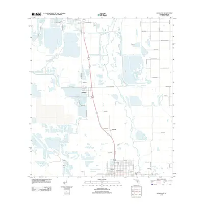 2012 Homeland2012 Print · USGSCovers Fort Meade, including Tiger Bay, Homeland, and other nearby areas
 - 2015 Map of Bowling Green, 2015 Print
 2015 Bowling Green2015 Print · USGSCovers Fort Meade, including Bowling Green, Polk County, and other nearby areas
 - 2015 Map of Homeland, 2015 Print
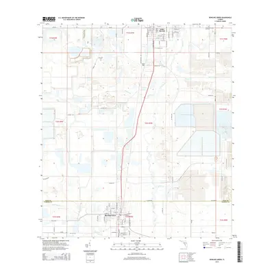
 2015 Homeland2015 Print · USGSCovers Fort Meade, including Tiger Bay, Homeland, and other nearby areas
 - 2018 Map of Homeland, 2018 Print
 2018 Homeland2018 Print · USGSCovers Fort Meade, including Tiger Bay, Homeland, and other nearby areas
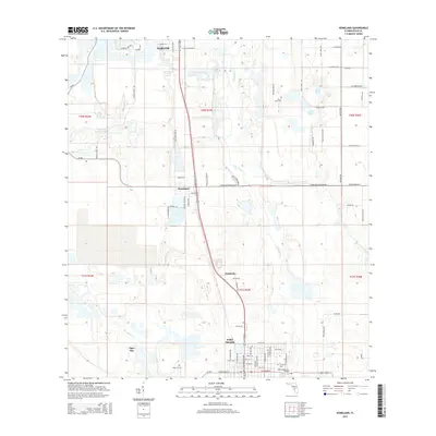
 - 2018 Map of Bowling Green, 2018 Print
 2018 Bowling Green2018 Print · USGSCovers Fort Meade, including Bowling Green, Polk County, and other nearby areas
 - 2021 Map of Homeland, 2021 Print
 2021 Homeland2021 Print · USGSCovers Fort Meade, including Tiger Bay, Homeland, and other nearby areas
 - 2021 Map of Bowling Green, 2021 Print
 2021 Bowling Green2021 Print · USGSCovers Fort Meade, including Bowling Green, Polk County, and other nearby areas
 - 2024 Map of Homeland, 2024 Print
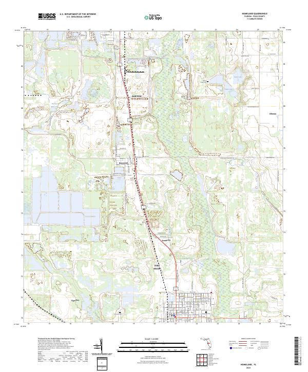 2024 Homeland2024 Print · USGSPolk County at the edge of the phosphate belt and the Peace River corridor is documented here in recent detail. Researchers can trace family history through local landmarks like Old Homeland Cemetery, Hancock Cem, and the old street grid of Homeland.
 - 2024 Map of Bowling Green, 2024 Print
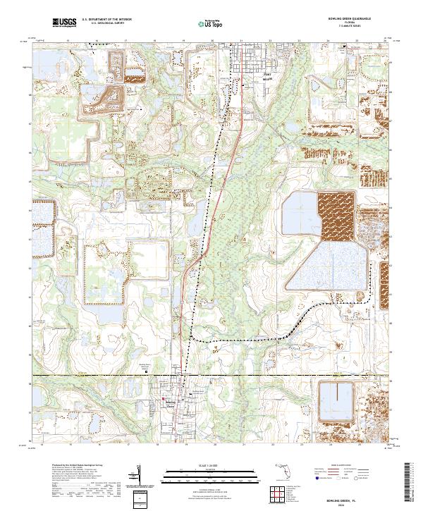 2024 Bowling Green2024 Print · USGSThe borderlands of Polk and Hardee Counties are captured in this recent survey, showcasing the phosphate-rich landscape around the Peace River. Genealogists and local historians can trace family locations through sites like Pleasant Grove Cem, the City Cem, and the historic streets of Bowling Green.
End of results
Showing maps 1-10 of 10
Top cities near Fort Meade
- Lakeland historical maps
- Winter Haven historical maps
- Bartow historical maps
- Lake Wales historical maps
- Wauchula historical maps
- Mulberry historical maps
See more
Frequently asked questions
- What are the different types of historical maps available for Fort Meade?
- What is the oldest map of Fort Meade?
- Where can I purchase historical maps of Fort Meade for my home or office?
- Where can I download high-res historical maps of Fort Meade?
- Are there historical topographic maps available for Fort Meade?
- Is there historical aerial imagery available for Fort Meade?
- Where are historical maps of Fort Meade sourced from?