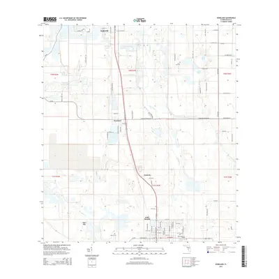
2015 Map of Homeland
USGS Topo · Published 2015About this map
Fort Meade anchors the southern portion of this Polk County landscape, where the John Singletary Bridge spans the Peace River as it winds northward toward Bartow. The area's phosphate mining legacy is visible in the industrial contours of the Noralyn Mine Lake, contrasting with the established residential grids of Homeland and Pembroke. Genealogists will find several notable burial sites including Evergreen Cem, Hancock Cem, and Peace Creek Cem, which sit alongside historic transit routes like Old Homeland Rd and Old Fort Meade Rd. The geography is defined by the hydrologic network of Peace Creek, McCullough Cr, and the marshy expanses of Tiger Bay, reflecting the classic interior Florida terrain of the mid-2010s before further suburban expansion transformed these rural corridors.
Find a feature on this map
78 named features on this map. Tap any name to fly to it.
Don’t see what you’re looking for? This feature index may not catch every label — zoom into the map to look around manually.
Map Details
Editions of this 2015 Homeland Map
This is the sole edition of this map. No revisions or reprints were ever made.
Other maps of this area

1949 · Mulberry
USGS Topo · 1:24,000

1949 · Bartow
USGS Topo · 1:24,000

1949 · Bradley Junction
USGS Topo · 1:24,000

1950 · Mulberry
USGS Topo · 1:24,000

1950 · Bartow
USGS Topo · 1:24,000

1950 · Bradley Junction
USGS Topo · 1:24,000

1952 · Homeland
USGS Topo · 1:24,000

1955 · Eloise
USGS Topo · 1:24,000

1955 · Bowling Green
USGS Topo · 1:24,000

1955 · Baird
USGS Topo · 1:24,000