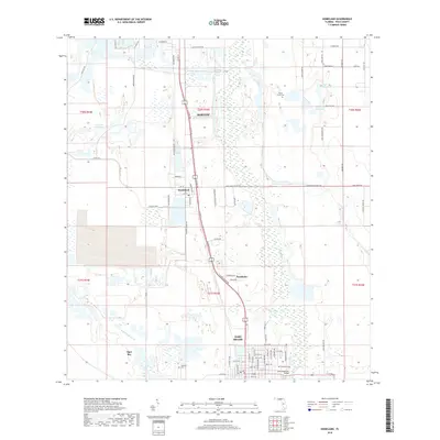
2018 Map of Homeland
USGS Topo · Published 2018About this map
Fort Meade anchors the southern portion of this Polk County survey, where the town grid meets the Peace River at the John Singletary Bridge. The landscape transitions from the developed streets of the city to the marshy lowlands of Tiger Bay and the drainage of McCullough Creek. This area of Florida's interior reflects a complex mix of phosphate mining history and traditional settlement, evidenced by large water bodies like Noralyn Mine Lake alongside established communities such as Homeland and Pembroke.
Find a feature on this map
79 named features on this map. Tap any name to fly to it.
Don’t see what you’re looking for? This feature index may not catch every label — zoom into the map to look around manually.
Map Details
Editions of this 2018 Homeland Map
This is the sole edition of this map. No revisions or reprints were ever made.
Other maps of this area

1949 · Mulberry
USGS Topo · 1:24,000

1949 · Bartow
USGS Topo · 1:24,000

1949 · Bradley Junction
USGS Topo · 1:24,000

1950 · Mulberry
USGS Topo · 1:24,000

1950 · Bartow
USGS Topo · 1:24,000

1950 · Bradley Junction
USGS Topo · 1:24,000

1952 · Homeland
USGS Topo · 1:24,000

1955 · Eloise
USGS Topo · 1:24,000

1955 · Bowling Green
USGS Topo · 1:24,000

1955 · Baird
USGS Topo · 1:24,000