2020s Maps of Sarasota County, Florida
Explore 48 historic maps of Sarasota County from the 2020s. These maps offer a rare glimpse into what life looked like during the 2020s — showing old roads, neighborhoods, homes, and landmarks that have changed or disappeared over time.
Whether you're researching your family's past, planning a metal detecting trip, or studying how Sarasota County's landscape evolved across the 2020s, these high-resolution maps are a powerful tool for exploring the history of this region.
- Focus on a specific era: All maps on this page are from the 2020s, giving you a focused view of this time period.
- See what’s changed: Compare century-old streets, trails, and buildings to today's modern landscape using overlays and satellite layers.
- Research with precision: Use these maps for genealogy, historical research, land use analysis, or educational projects.
- View, download, or print: Maps are fully viewable online in high resolution, and can be downloaded or printed for your own records.
Start exploring Sarasota County's history through authentic maps from the 2020s. This is your window into the past.
Sarasota County, FL maps
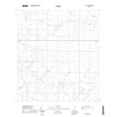
(48)- 2021 Map of Murdock SE, 2021 Print
 2021 Murdock SE2021 Print · USGSCovers Sarasota County, including North Port, Heritage Lake Park Community Development District, and other nearby areas
 - 2021 Map of Sarasota OE W, 2021 Print
 2021 Sarasota OE W2021 Print · USGSCovers Sarasota County, including Longboat Key, United States, and other nearby areas
 - 2021 Map of Englewood NW, 2021 Print
 2021 Englewood NW2021 Print · USGSCovers Sarasota County, including Charlotte County, United States, and other nearby areas
 - 2021 Map of Englewood, 2021 Print
 2021 Englewood2021 Print · USGSCovers Sarasota County, including North Port, Englewood, and other nearby areas
 - 2021 Map of Myakka River, 2021 Print
 2021 Myakka River2021 Print · USGSCovers Sarasota County, including North Port, Venice, and other nearby areas
 - 2021 Map of Lower Myakka Lake, 2021 Print
 2021 Lower Myakka Lake2021 Print · USGSCovers Sarasota County, including Venice, Honore, and other nearby areas
 - 2021 Map of Murdock NE, 2021 Print
 2021 Murdock NE2021 Print · USGSCovers Sarasota County, including Manatee County, DeSoto County, and other nearby areas
 - 2021 Map of Bee Ridge, 2021 Print
 2021 Bee Ridge2021 Print · USGSCovers Sarasota County, including Sarasota, Fruitville, and other nearby areas
 - 2021 Map of Laurel, 2021 Print
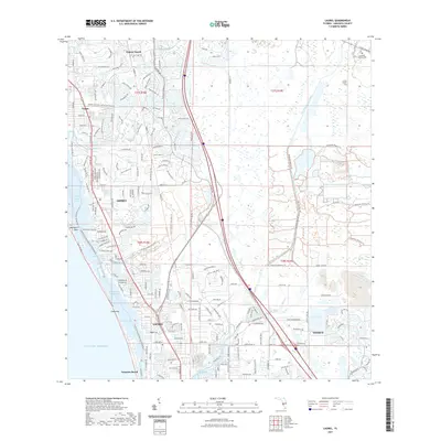 2021 Laurel2021 Print · USGSCovers Sarasota County, including Venice, Laurel, and other nearby areas
 - 2021 Map of Old Myakka, 2021 Print
 2021 Old Myakka2021 Print · USGSCovers Sarasota County, including Hidden River, Old Myakka, and other nearby areas
 - 2021 Map of Bradenton Beach, 2021 Print
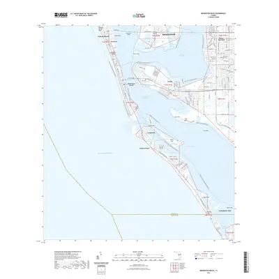 2021 Bradenton Beach2021 Print · USGSCovers Sarasota County, including Bradenton, Longboat Key, and other nearby areas
 - 2021 Map of Bird Keys, 2021 Print
 2021 Bird Keys2021 Print · USGSCovers Sarasota County, including White Beach, Point O'Rocks, and other nearby areas
 - 2021 Map of Murdock NW, 2021 Print
 2021 Murdock NW2021 Print · USGSCovers Sarasota County, including Manatee County, United States, and other nearby areas
 - 2021 Map of Venice, 2021 Print
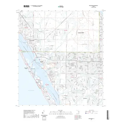
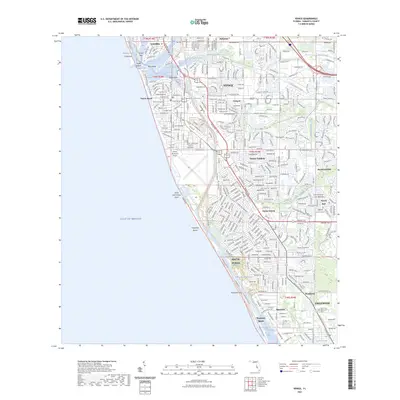
 2021 Venice2021 Print · USGSCovers Sarasota County, including Venice, South Venice, and other nearby areas
 - 2021 Map of Verna, 2021 Print
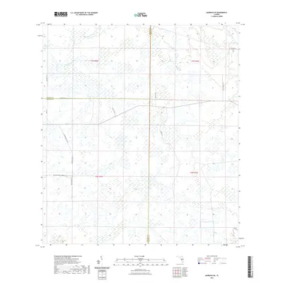
 2021 Verna2021 Print · USGSCovers Sarasota County, including Bethany, Verna, and other nearby areas
 - 2021 Map of Lorraine, 2021 Print
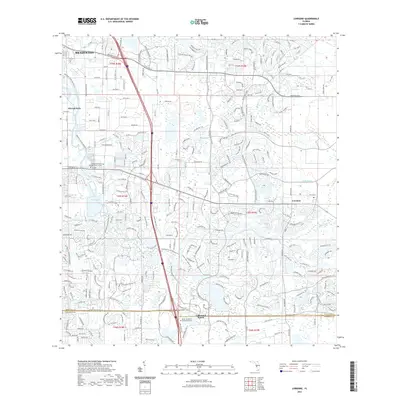 2021 Lorraine2021 Print · USGSCovers Sarasota County, including Bradenton, Lorraine, and other nearby areas
 - 2021 Map of Bradenton, 2021 Print
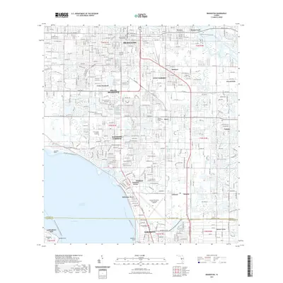 2021 Bradenton2021 Print · USGSCovers Sarasota County, including Bradenton, Sarasota, and other nearby areas
 - 2021 Map of Sarasota, 2021 Print
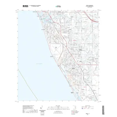
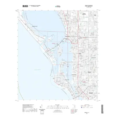 2021 Sarasota2021 Print · USGSCovers Sarasota County, including Sarasota, Longboat Key, and other nearby areas
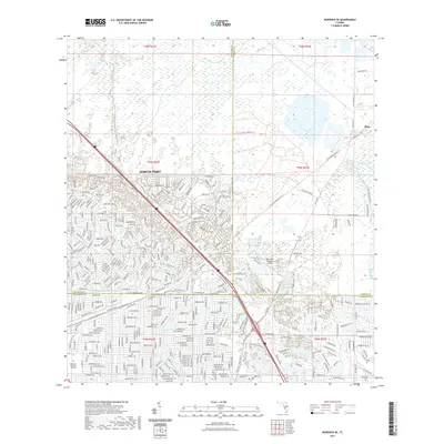
 - 2021 Map of Murdock, 2021 Print
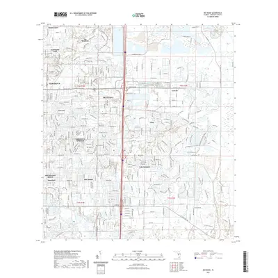
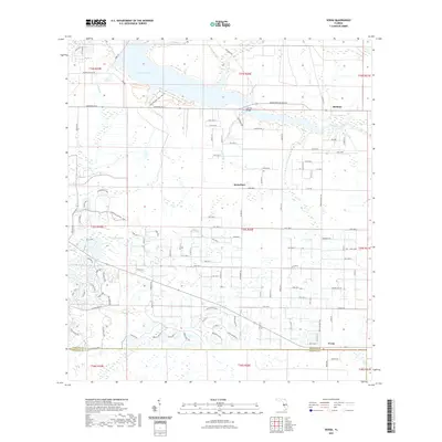
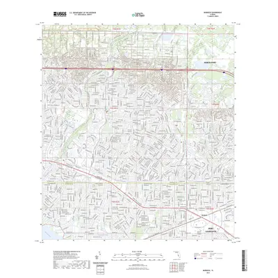
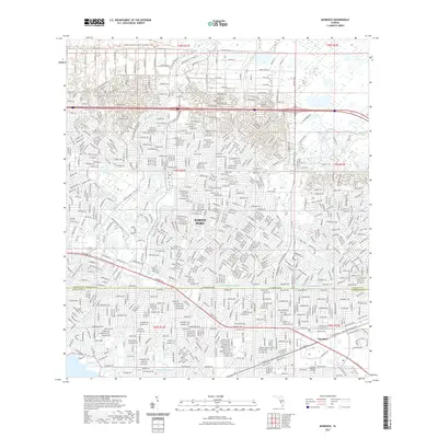 2021 Murdock2021 Print · USGSCovers Sarasota County, including North Port, Charlotte County, and other nearby areas
 - 2023 Map of Venice, 2023 Print
 2023 Venice2023 Print · USGSCovers Sarasota County, including Venice, South Venice, and other nearby areas
 - 2023 Map of Murdock, 2023 Print
 2023 Murdock2023 Print · USGSCovers Sarasota County, including North Port, Charlotte County, and other nearby areas
 - 2024 Map of Murdock NE, 2024 Print
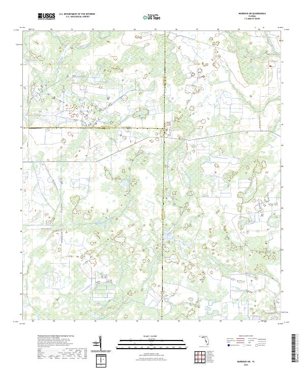 2024 Murdock NE2024 Print · USGSThe Florida interior where DeSoto, Manatee, and Sarasota Counties meet is a landscape of vast wetlands and ranching history. Researchers can trace the water systems of Wildcat Slough and Big Slough or locate historic corridors like Turpentine Still Rd.
 - 2024 Map of Sarasota OE W, 2024 Print
 2024 Sarasota OE W2024 Print · USGSCovers Sarasota County, including Longboat Key, United States, and other nearby areas
 - 2024 Map of Bradenton Beach, 2024 Print
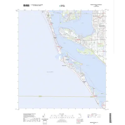 2024 Bradenton Beach2024 Print · USGSCovers Sarasota County, including Bradenton, Longboat Key, and other nearby areas
 - 2024 Map of Lower Myakka Lake, 2024 Print
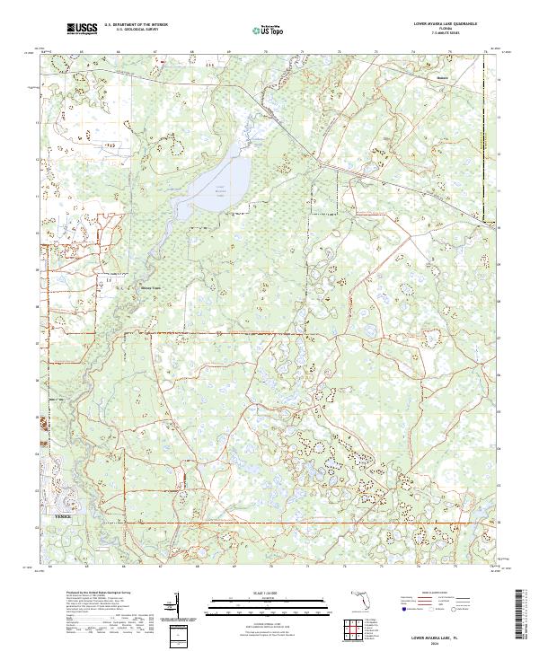 2024 Lower Myakka Lake2024 Print · USGSSarasota County at the start of the 2020s shows a complex network of conservation lands and growing suburban fringes. Researchers can trace the boundaries of the Myakka Island Wilderness or locate local landmarks like Shiney Town and Deep Hole.
Showing maps 1-25 of 48
Top cities of Sarasota County
- North Port historical maps
- Sarasota historical maps
- Venice historical maps
- Englewood historical maps
- South Venice historical maps
- Laurel historical maps
See more
Frequently asked questions
- What are the different types of historical maps available for Sarasota County?
- What is the oldest map of Sarasota County?
- Where can I purchase historical maps of Sarasota County for my home or office?
- Where can I download high-res historical maps of Sarasota County?
- Are there historical topographic maps available for Sarasota County?
- Is there historical aerial imagery available for Sarasota County?
- Where are historical maps of Sarasota County sourced from?